
Pavlovce nad Uhom, municipality of Slovakia
Location: Michalovce District
Inception: 1327
Elevation above the sea: 106 m
Website: http://pavlovce.sk
GPS coordinates: 48.61250,22.06667
Latest update: March 7, 2025 01:15
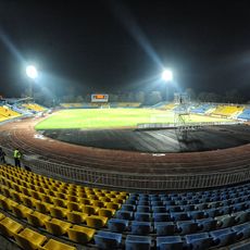
Avanhard Stadium
15.5 km
Vojany Power Plant
9.3 km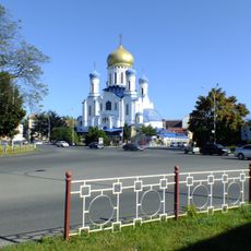
Uzhhorod Orthodox Cathedral
16.6 km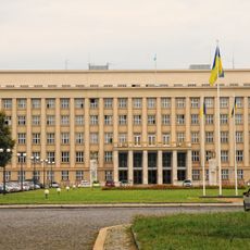
Zakarpattia Oblast Council
16.4 km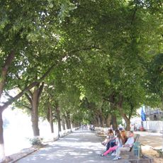
Липова алея
16.6 km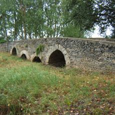
Stonebridge in Leles
16.6 km
Bezdoskyi park Park Architecture Monument
14.7 km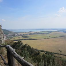
Eastern Slovak Flat
10.7 km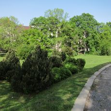
Parter Square Garden
16.4 km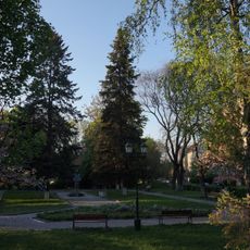
T. Masaryk Square garden
16.2 km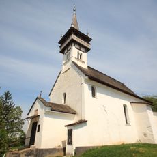
Reformed church in Palad-Komarivtsi
12.5 km
Administration building in Uzhhorod
16.4 km
Raškovský luh
10.5 km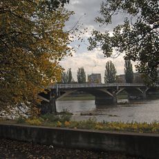
Томаша Масаріка міст
16.2 km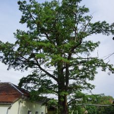
Bald cypress
16.2 km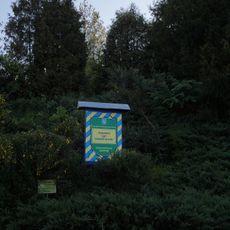
Rockery
16.5 km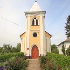
Reformed church in Tarnivtsi
11.4 km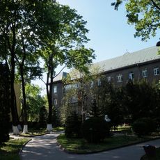
Front Yard of the Provincial Hospital
16.5 km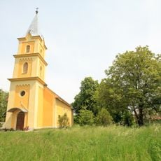
Exaltation of the Holy Cross church, Siurte
16.5 km
Laborecká rovina
12.8 km
Senianska mokraď
10 km
Závadská tabuľa
14.3 km
Kostol sv. Štefana
16.4 kmPotiská Nížina
5.9 km
Amphitheatre Uzhhorod
16.6 km
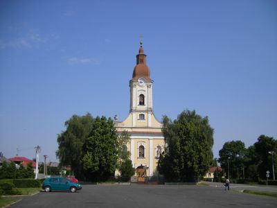
Kostol sv. Jána Krstiteľa
199 m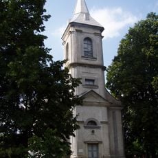
Kalvínsky kostol
16.5 km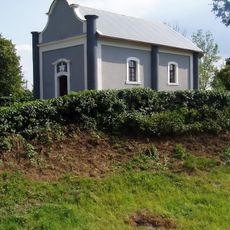
Kaplnka sv. Kríža
16.5 kmVisited this place? Tap the stars to rate it and share your experience / photos with the community! Try now! You can cancel it anytime.
Discover hidden gems everywhere you go!
From secret cafés to breathtaking viewpoints, skip the crowded tourist spots and find places that match your style. Our app makes it easy with voice search, smart filtering, route optimization, and insider tips from travelers worldwide. Download now for the complete mobile experience.

A unique approach to discovering new places❞
— Le Figaro
All the places worth exploring❞
— France Info
A tailor-made excursion in just a few clicks❞
— 20 Minutes