
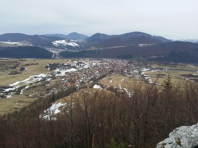
Belá, municipality of Slovakia in Žilina district
Location: District of Žilina
Website: https://www.bela.sk/
Website: https://bela.sk
GPS coordinates: 49.23690,18.94366
Latest update: March 8, 2025 08:17
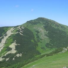
Veľký Kriváň
8.4 km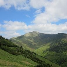
Malý Kriváň
7.2 km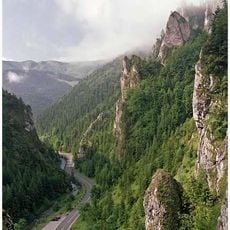
Tiesňavy (Mała Fatra)
6.9 km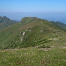
Pekelník
7.5 km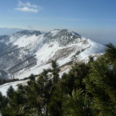
Stratenec
6.5 km
Juraj Jánošík (Terchová)
7.1 km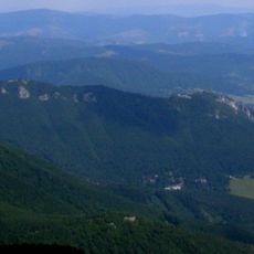
Sokolie
5.2 km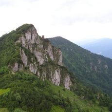
Biele skaly
6.9 km
Terchovské srdce
6.7 km
Koniarky
6.8 km
Veľká Bránica
4.6 km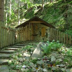
Cmentarz Ofiar Gór w Małej Fatrze
8.2 km
Mravečník
6.3 km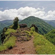
Baraniarky
5.1 km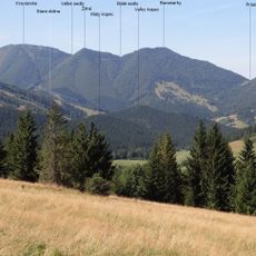
Kraviarske
6.1 km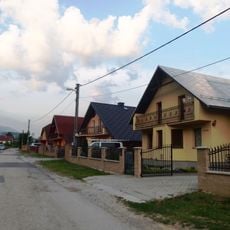
Nižné Kamence
4.4 km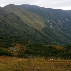
Prípor
6 km
Krasniansky luh
3.8 km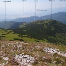
Meškalka
7.5 km
Hole
6.2 km
Varínske podolie
1.9 km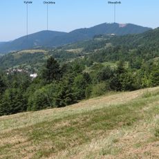
Okrúhlica
4.3 km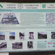
Educational trail Jánošíkovým chotárom
6.8 km
Magura
2.9 km
Žitné
5.7 km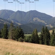
Veľky kopec
7.2 km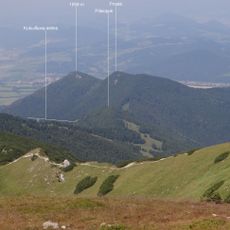
Prostá
4.2 km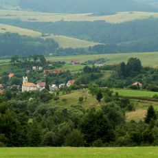
Kostol sv. Michala
3.2 kmReviews
Visited this place? Tap the stars to rate it and share your experience / photos with the community! Try now! You can cancel it anytime.
Discover hidden gems everywhere you go!
From secret cafés to breathtaking viewpoints, skip the crowded tourist spots and find places that match your style. Our app makes it easy with voice search, smart filtering, route optimization, and insider tips from travelers worldwide. Download now for the complete mobile experience.

A unique approach to discovering new places❞
— Le Figaro
All the places worth exploring❞
— France Info
A tailor-made excursion in just a few clicks❞
— 20 Minutes