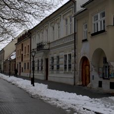
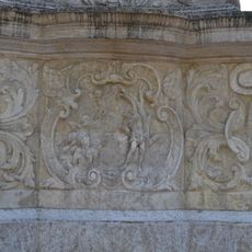
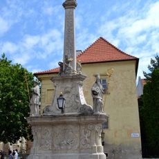
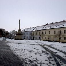
Trnava District, district of Slovakia
Location: Trnava Region
Capital city: Trnava
Shares border with: Myjava District, Piešťany District, Hlohovec District, Galanta District, Senica District, Malacky District, Pezinok District, Senec District
GPS coordinates: 48.37361,17.59500
Latest update: March 5, 2025 02:52
Štadión Antona Malatinského
239 m
Saint Helena's Church, Trnava
566 m
Synagogue in Trnava
611 m
Archbishop Palace
603 m
Synagogue Café
551 m
Klariský kláštor, kostol
274 m
Morový stĺp, socha
619 m
Meštiansky dom
529 m
Mestský špitál, špitál
590 m
Morový stĺp, socha
619 m
West Slovak Museum
241 m
Synagóga
618 m
Morový stĺp, socha
619 m
Morový stĺp, socha
619 m
The Orthodox Synagogue
554 m
Kostol sv. Jozefa
578 m
Meštiansky dom
605 m
Okresná nemocenská poisťovňa
525 m
Meštiansky dom
525 m
Morový stĺp, reliéf
619 m
Morový stĺp, podstavec
619 m
Kanonické domy
626 m
Morový stĺp, reliéf
619 m
Meštiansky dom
586 m
Meštiansky dom
616 m
Plague column
619 m
Morový stĺp, reliéf
619 m
Býv. arcibiskupský palác
599 mReviews
Visited this place? Tap the stars to rate it and share your experience / photos with the community! Try now! You can cancel it anytime.
Discover hidden gems everywhere you go!
From secret cafés to breathtaking viewpoints, skip the crowded tourist spots and find places that match your style. Our app makes it easy with voice search, smart filtering, route optimization, and insider tips from travelers worldwide. Download now for the complete mobile experience.
A unique approach to discovering new places❞
— Le Figaro
All the places worth exploring❞
— France Info
A tailor-made excursion in just a few clicks❞
— 20 Minutes