Trnava Region

Log in to your account

AroundUs is a community-driven map of interesting places, built by curious explorers like you. It grows with every review, story, and photo you share.
Connect to save your favorite spots, contribute locations, and create personalized routes.
Continue with Google
Continue with Apple
Continue with X
Continue with Facebook
Continue with email
By continuing, you accept our Terms and Conditions and our Privacy Policy
Create an account
Add to collection
Map
Suggest a change
Share

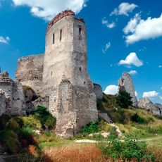
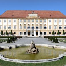
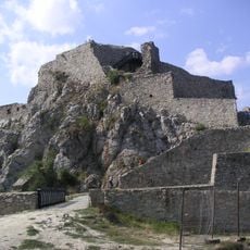
Trnava Region, Administrative region in southwestern Slovakia.

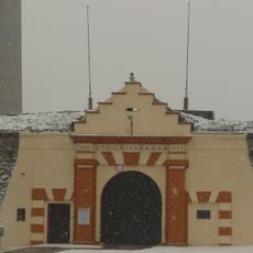
The Trnava Region is an administrative territory in southwestern Slovakia that spans between the Bratislava Region and other Slovak areas. It comprises 251 municipalities organized across seven districts with varying landscapes and settlement patterns.

The territory became a separate administrative unit in 1996 when it was divided from the Bratislava Region, becoming one of Slovakia's eight official regions. This reorganization established the territorial structure that continues to define the country's administrative system today.

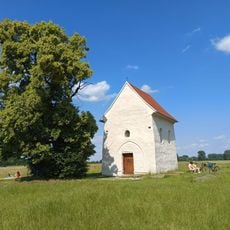
Hungarian communities form a notable part of the population here, especially in the Dunajská Streda area, where their traditions shape local customs and celebrations. Visitors can observe how different cultural groups coexist and influence the region's character through language and daily practices.

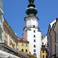
The region is easily accessible and well-positioned between the capital and other major Slovak areas, making it convenient for exploring different parts. The varying landscapes and multiple districts allow visitors to choose routes based on their interests and available time.

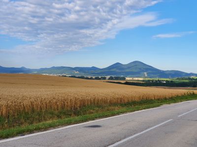
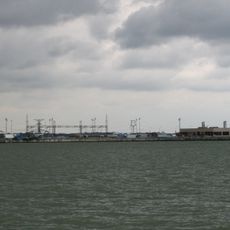
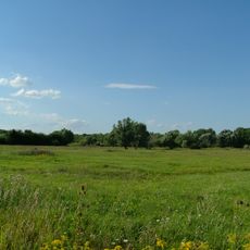
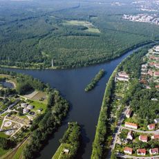
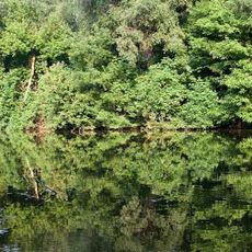
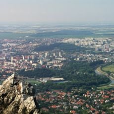
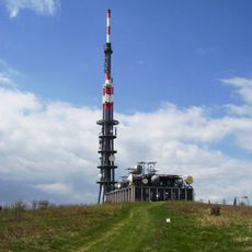
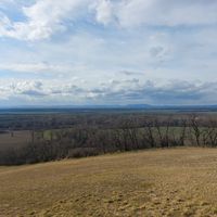
The region is geographically divided into two lowland areas separated by the Little Carpathian mountains: the Záhorie Lowland in the north and the Danubian Lowland in the south. This natural division shapes both the landscape and how human settlement and economic activity are distributed across the territory.

Location: Slovakia

Inception: July 24, 1996

Capital city: Trnava

Elevation above the sea: 767 m

Reference: SK021

Part of: Western Slovakia

Shares border with: Nitra Region, Trenčín Region, Bratislava Region, Lower Austria, South Moravian Region, Győr-Moson-Sopron County

Website: http://trnava-vuc.sk

GPS coordinates: 48.37750,17.58833

Latest update: December 20, 2025 02:44

Photos
Reviews

Visited this place? Tap the stars to rate it and share your experience / photos with the community! Try now! You can cancel it anytime.

« Trnava Region - Administrative region in southwestern Slovakia » is provided by Around Us (aroundus.com). Images and texts are derived from Wikimedia project under a Creative Commons license. You are allowed to copy, distribute, and modify copies of this page, under the conditions set by the license, as long as this note is clearly visible.

Discover hidden gems everywhere you go!

From secret cafés to breathtaking viewpoints, skip the crowded tourist spots and find places that match your style. Our app makes it easy with voice search, smart filtering, route optimization, and insider tips from travelers worldwide. Download now for the complete mobile experience.

Around Us App Screenshot

A unique approach to discovering new places

Le Figaro

All the places worth exploring

France Info

A tailor-made excursion in just a few clicks

20 Minutes