
Lozorno, municipality of Slovakia
Location: Malacky District
Inception: 1589
Elevation above the sea: 188 m
Website: http://lozorno.sk
GPS coordinates: 48.33464,17.04445
Latest update: April 6, 2025 14:20
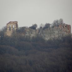
Pajštún Castle
7.2 km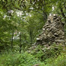
Dračí hrádok
10.2 km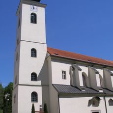
Basilica of the Nativity of the Virgin Mary
9.7 km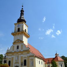
Church of St. Stephen I of Hungary
6.9 km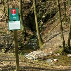
Limbašská vyvieračka
10.6 km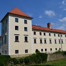
Schloss Stampfen
6.8 km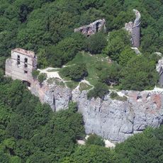
Pod Pajštúnom
7.1 km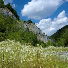
Strmina
9.3 km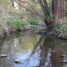
Jablonovský potok
5.1 km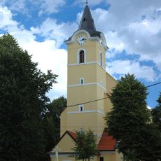
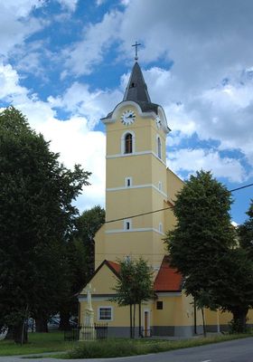
Church of Saint Catherine of Alexandria
311 m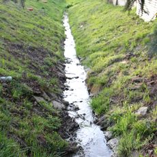
Rudanický potok
3 km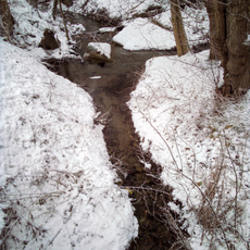
Rozglabský potok
8.6 km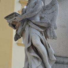
Trojičný stĺp, socha
6.9 km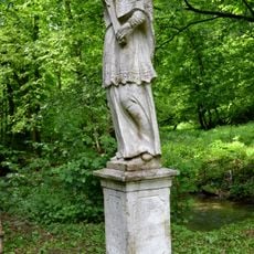
Sv. Ján Nepomucký, socha na podstavci-kópia
10.1 km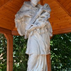
Statue of Saint John of Nepomuk
6.8 km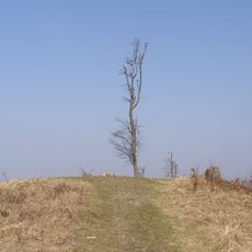
Somár
8.6 km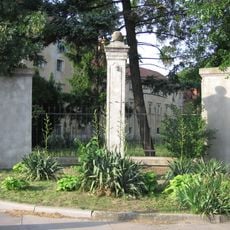
Stĺp hanby
6.9 km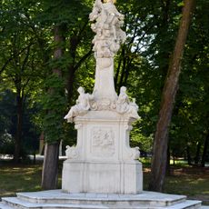
Statue of John of Nepomuk
9.7 km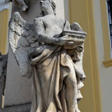
Trojičný stĺp, socha
6.9 km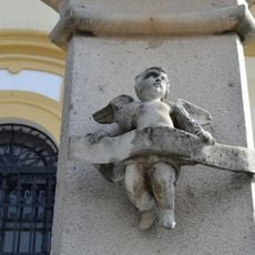
Trojičný stĺp, socha
6.9 km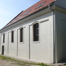
Synagóga
6.9 km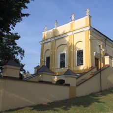
Kaplnka kalvárie
6.9 km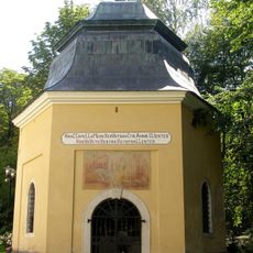
Chapel of Saint Anna
9.7 km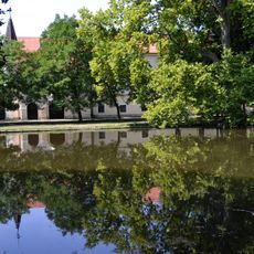
Pálffyovský kaštieľ, park
6.8 km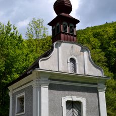
Chapel of saint Michael, Medené Hámre
10.1 km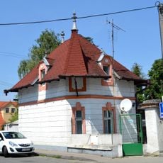
Strážny domček pri kaštieli
6.8 km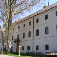
Paulínsky kláštor, kláštor paulínov
9.7 km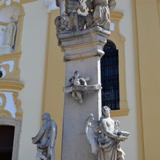
Trojičný stĺp, pilier-kópia
6.9 kmReviews
Visited this place? Tap the stars to rate it and share your experience / photos with the community! Try now! You can cancel it anytime.
Discover hidden gems everywhere you go!
From secret cafés to breathtaking viewpoints, skip the crowded tourist spots and find places that match your style. Our app makes it easy with voice search, smart filtering, route optimization, and insider tips from travelers worldwide. Download now for the complete mobile experience.

A unique approach to discovering new places❞
— Le Figaro
All the places worth exploring❞
— France Info
A tailor-made excursion in just a few clicks❞
— 20 Minutes