Enable Location

We need your location to show you interesting places around you

Discover nearby places

Find interesting locations and hidden gems around you

Precise directions

Get accurate directions and distances to places

Your location is never shared with other users. It's only used when you tap the location button.

Kanchanadit

Log in to your account

Start exploring — it's free

Trusted by 63,314 travelers worldwide

Continue with Google
Continue with Apple
or

We will send you a code to connect

By continuing, you accept our Terms and Conditions and our Privacy Policy

Check your inbox

We've sent a pincode in your inbox. Please enter the code below.

Kanchanadit
Discussion Reviews 1 Photos
14.6k Popularity

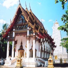
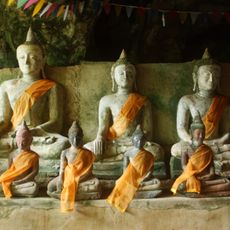
Kanchanadit, Rural district in Surat Thani, Thailand

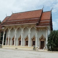
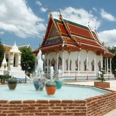
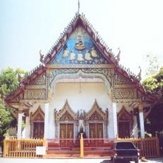
Kanchanadit is a rural district in the eastern part of Surat Thani province, stretching from Bandon Bay to the Nakhon Si Thammarat mountain range. The area comprises 13 sub-districts with a total of 117 villages spread across the landscape.

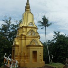
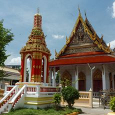
The area was originally known as Tha Thong and was relocated and renamed during King Rama III's reign due to a malaria epidemic. It was later merged with Chaiya in 1899.

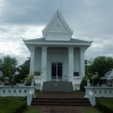
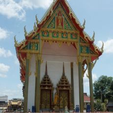
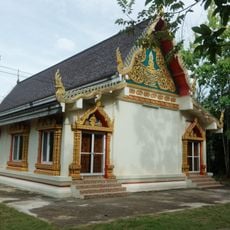
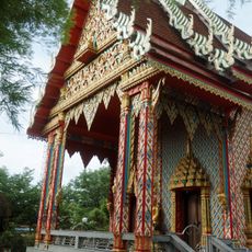
The district maintains 13 distinct sub-districts with 117 villages, each preserving traditional Thai rural lifestyle through agriculture and local customs.

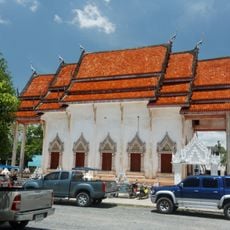
Thailand Route 401 connects the district to Surat Thani town and makes reaching it straightforward from the provincial center. Route 44 runs across the Malay Peninsula and serves as a key trade link heading south.

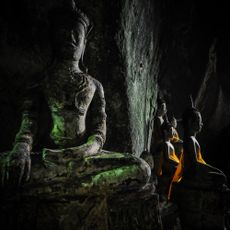
The area is home to Khao Luang National Park, established in 1991 to protect the forests of the Nakhon Si Thammarat mountains. This park draws visitors seeking to explore the region's natural landscape and wildlife.

The community of curious travelers

AroundUs brings together thousands of curated places, local tips, and hidden gems, enriched daily by 60,000 contributors worldwide.

Start exploring
Location
Elevation above the sea
35 m
Shares border with
Mueang Surat Thani, Don Sak, Sichon, Nopphitam, Ban Na San
GPS coordinates
9.16556,99.47111
Latest update
December 7, 2025 20:21
Reviews
Share your experience

No review yet

Discussions
Start a discussion...

No discussion yet

« Kanchanadit - Rural district in Surat Thani, Thailand » is provided by Around Us (aroundus.com). Images and texts are derived from Wikimedia project under a Creative Commons license. You are allowed to copy, distribute, and modify copies of this page, under the conditions set by the license, as long as this note is clearly visible.

Discover hidden gems everywhere you go!

From secret cafés to breathtaking viewpoints, skip the crowded tourist spots and find places that match your style. Our app makes it easy with voice search, smart filtering, route optimization, and insider tips from travelers worldwide. Download now for the complete mobile experience.

Around Us App Screenshot

A unique approach to discovering new places

Le Figaro

All the places worth exploring

France Info

A tailor-made excursion in just a few clicks

20 Minutes

Around Us
Travel Guide & Maps
Download

Send to your phone

QR Code
1

Open the camera app on your mobile.

2

Point at the QR code with your camera. A notification will appear.

3

Tap the notification to open the link.