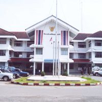
Surat Thani, Administrative province in southern Thailand.
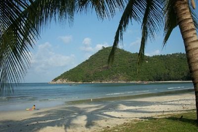
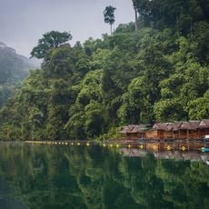
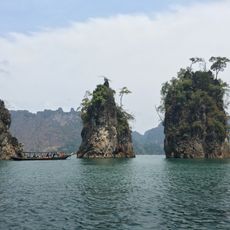
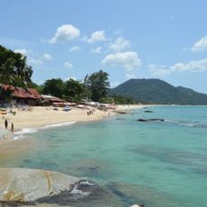
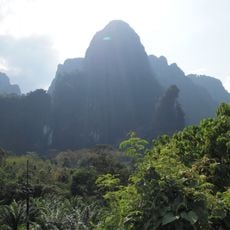
Surat Thani is an administrative province in southern Thailand with flat coastal plains in the east and limestone mountains of the Phuket range in the west. The landscape alternates between rubber plantations inland, rice paddies along the rivers, and mangrove forests on the shore of the Gulf of Thailand.
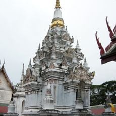
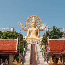
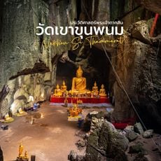
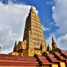
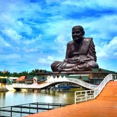
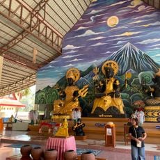
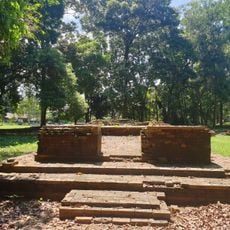
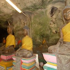
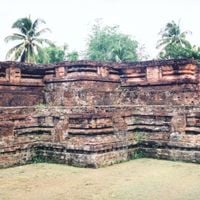
The region stood under the influence of the Srivijaya kingdom from the third to the thirteenth century, which controlled large parts of Southeast Asia from Sumatra. Chaiya developed at that time into an important administrative center with Buddhist temples and trade routes along the coast.
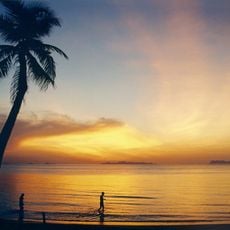
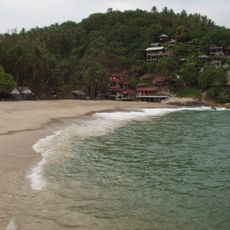
The name means City of Good People and appears today on road signs along main highways in both Latin and Thai script. Travelers see traditional wooden fishing boats along the coast that return with fresh catches in the morning.
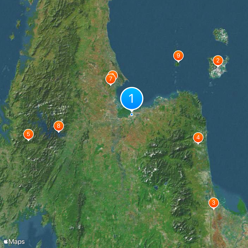
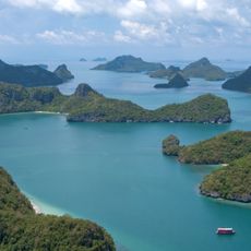
Most visitors travel through the province on their way to the offshore islands in the Gulf of Thailand. Public minibuses connect the larger towns, while local buses run regularly along the coastal road.
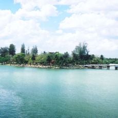
The Tapi and Phum Duang rivers meet at Tha Kham and form a branching delta with dozens of channels and small islands. Many of these islands are covered with mangroves and change their shape with the tides.
Location: Thailand
Capital city: Surat Thani
Part of: Southern Thailand
Shares border with: Nakhon Si Thammarat, Chumphon, Phang Nga, Krabi, Ranong province
Website: http://suratthani.go.th
GPS coordinates: 9.13333,99.33167
Latest update: December 4, 2025 19:04
Ko Samui
84 km
Wat Phra Mahathat
106.5 km
Wat Chedi
61.9 km
Khao Sok
90.8 km
Wat Phra Boromathat Chaiya Rat Worawihan
32.3 km
Wat Suan Mokkh
30.9 km
Chiao Lan Lake
63.9 km
Mu Ko Ang Thong National Park
60 km
Hin Ta Hin Yai
85.5 km
Wat Phra Yai
93.7 km
Wat Plai Laem
94.3 km
Wat Khunaram
81.5 km
Laem Son National Park
91.1 km
Wat Maha That Wachiramongkon
95.4 km
Than Bok Khorani National Park
105.8 km
Nakhon Si Thammarat Province Stadium
102.3 km
Lamai Beach
87.2 km
Ko Lamphu
1.8 km
Than Sadet – Ko Pha-ngan National Park
106.6 km
Khlong Phanom National Park
75.5 km
Chulachomklao bridge
12.1 km
Wat Suwan Khuha
122.9 km
Namtok Ngao National Park
111.6 km
Wat Phothawat
1.6 km
Khlong Saeng Wildlife Sanctuary
82.3 km
Hat Khanom–Mu Ko Thale Tai National Park
57.7 km
Ascension Church, Ko Samui
85.3 km
Wat Kaeo
31.4 kmVisited this place? Tap the stars to rate it and share your experience / photos with the community! Try now! You can cancel it anytime.
Discover hidden gems everywhere you go!
From secret cafés to breathtaking viewpoints, skip the crowded tourist spots and find places that match your style. Our app makes it easy with voice search, smart filtering, route optimization, and insider tips from travelers worldwide. Download now for the complete mobile experience.
A unique approach to discovering new places❞
— Le Figaro
All the places worth exploring❞
— France Info
A tailor-made excursion in just a few clicks❞
— 20 Minutes