Enable Location

We need your location to show you interesting places around you

Discover nearby places

Find interesting locations and hidden gems around you

Precise directions

Get accurate directions and distances to places

Your location is never shared with other users. It's only used when you tap the location button.

Log in to your account

Start exploring — it's free

Trusted by 61,422 travelers worldwide

Continue with Google
Continue with Apple
or

We will send you a code to connect

By continuing, you accept our Terms and Conditions and our Privacy Policy

Check your inbox

We've sent a pincode in your inbox. Please enter the code below.

Ban Na San

Ban Na San, Administrative district in Surat Thani Province, Thailand.

Description

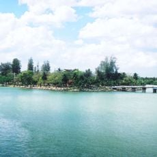
Ban Na San is an administrative district in Surat Thani Province covering extensive terrain with mountains to the east that form part of Tai Rom Yen National Park. The area is divided into eleven sub-districts comprising 65 villages, served by a central town and multiple local administrative organizations.

History

The district emerged from a series of territorial changes in the 1970s when Khian Sa, Wiang Sa, and Ban Na Doem were separated as independent administrative regions. This reorganization established the framework of the present-day area.

Culture

The district's identity is closely tied to rambutan cultivation, which shapes local traditions and community celebrations throughout the year. Farming families continue this connection through generational knowledge passed down in their daily work and seasonal festivals.

Practical

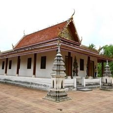
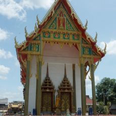
Visitors can access administrative services and local facilities concentrated in the central town, with resources distributed across the eleven sub-districts. The varied terrain with national park sections offers different pathways depending on which areas you plan to explore.

Did you know?

This area holds the distinction of being where Thailand's first rambutan trees were introduced in 1926 when a Chinese Malay merchant planted the initial seedlings. That single act of cultivation launched what would become a significant agricultural tradition across the country.

Location
Elevation above the sea
99 m
Shares border with
Mueang Surat Thani, Kanchanadit
GPS coordinates
8.80000,99.36500
Latest update
December 8, 2025 13:44

AroundUs brings together thousands of curated places, local tips, and hidden gems, enriched daily by 60,000 contributors worldwide. Discover all places nearby (Surat Thani).

« Ban Na San - Administrative district in Surat Thani Province, Thailand » is provided by Around Us (aroundus.com). Images and texts are derived from Wikimedia project under a Creative Commons license. You are allowed to copy, distribute, and modify copies of this page, under the conditions set by the license, as long as this note is clearly visible.

Discover hidden gems everywhere you go!

From secret cafés to breathtaking viewpoints, skip the crowded tourist spots and find places that match your style. Our app makes it easy with voice search, smart filtering, route optimization, and insider tips from travelers worldwide. Download now for the complete mobile experience.

Around Us App Screenshot

A unique approach to discovering new places

Le Figaro

All the places worth exploring

France Info

A tailor-made excursion in just a few clicks

20 Minutes

Around Us
Travel Guide & Maps
Download

Send to your phone

QR Code
1

Open the camera app on your mobile.

2

Point at the QR code with your camera. A notification will appear.

3

Tap the notification to open the link.