Enable Location

We need your location to show you interesting places around you

Discover nearby places

Find interesting locations and hidden gems around you

Precise directions

Get accurate directions and distances to places

Your location is never shared with other users. It's only used when you tap the location button.

Log in to your account

Start exploring — it's free

Trusted by 65,321 travelers worldwide

Continue with Google
Continue with Apple
or

We will send you a code to connect

By continuing, you accept our Terms and Conditions and our Privacy Policy

Check your inbox

We've sent a pincode in your inbox. Please enter the code below.

Wiang Sa
Discussion Reviews Photo
10.4k Popularity

Wiang Sa, Administrative district in Surat Thani, Thailand

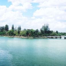
Wiang Sa is a district in Surat Thani Province, in southern Thailand, covering a range of terrain from the lowland plains of the Tapi River in the west to forested mountains in the east. The district is made up of several sub-districts, each covering a distinct part of this transition from flat farmland to highland forest.

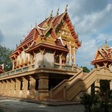
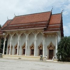
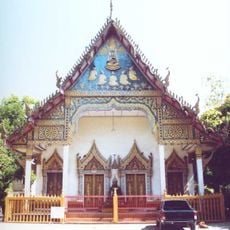
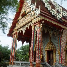
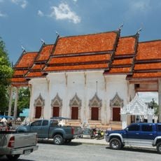
The area was historically tied to the city-state of Nakhon Si Thammarat, which held strong influence over much of southern Thailand during the Srivijaya period. In the 19th century, the district was known as Khlong Tan before being reorganized and renamed.

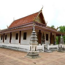
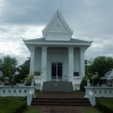
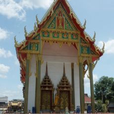
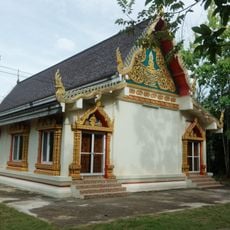
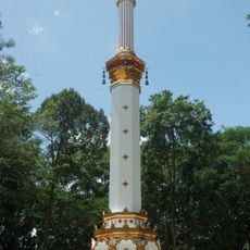
The name Wiang Sa comes from an old term for a fortified town, pointing to its early role as a settlement center in the region. In the rural sub-districts, rice farming remains part of daily life, and the paddies along the river give the area its open, worked character.

The district is best explored by moving gradually from the flat western plains toward the hills in the east, since the landscape and road conditions change considerably along the way. The cooler months make travel more comfortable, especially for the forested areas further from the river.

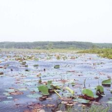
Tai Romyen National Park sits in the northeastern part of the district, right at the point where the lowland plains meet the mountains, creating an unusually close mix of two different forest types. This transition zone supports plant and animal species that are rarely found together in one place across the region.

The community of curious travelers

AroundUs brings together thousands of curated places, local tips, and hidden gems, enriched daily by 60,000 contributors worldwide.

Start exploring
Location
Capital city
Wiang Sa
GPS coordinates
8.62972,99.34306
Latest update
March 3, 2026 10:12
Reviews
Share your experience

No review yet

Discussions
Start a discussion...

No discussion yet

« Wiang Sa - Administrative district in Surat Thani, Thailand » is provided by Around Us (aroundus.com). Images and texts are derived from Wikimedia project under a Creative Commons license. You are allowed to copy, distribute, and modify copies of this page, under the conditions set by the license, as long as this note is clearly visible.

Discover hidden gems everywhere you go!

From secret cafés to breathtaking viewpoints, skip the crowded tourist spots and find places that match your style. Our app makes it easy with voice search, smart filtering, route optimization, and insider tips from travelers worldwide. Download now for the complete mobile experience.

Around Us App Screenshot

A unique approach to discovering new places

Le Figaro

All the places worth exploring

France Info

A tailor-made excursion in just a few clicks

20 Minutes

Around Us
Travel Guide & Maps
Download

Send to your phone

QR Code
1

Open the camera app on your mobile.

2

Point at the QR code with your camera. A notification will appear.

3

Tap the notification to open the link.