Enable Location

We need your location to show you interesting places around you

Discover nearby places

Find interesting locations and hidden gems around you

Precise directions

Get accurate directions and distances to places

Your location is never shared with other users. It's only used when you tap the location button.

Mueang Surat Thani

Log in to your account

Start exploring — it's free

Trusted by 63,300 travelers worldwide

Continue with Google
Continue with Apple
or

We will send you a code to connect

By continuing, you accept our Terms and Conditions and our Privacy Policy

Check your inbox

We've sent a pincode in your inbox. Please enter the code below.

Mueang Surat Thani
Discussion Reviews 1 Photos
19.3k Popularity

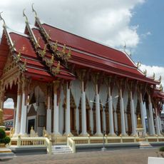
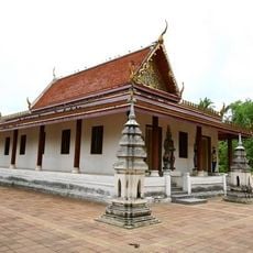
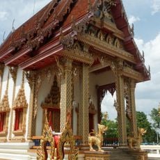
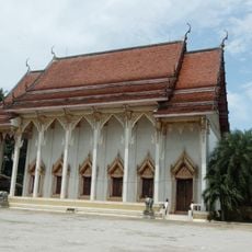
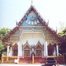
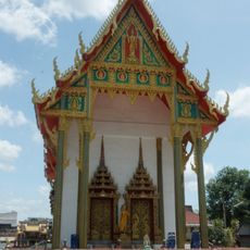
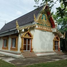
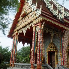
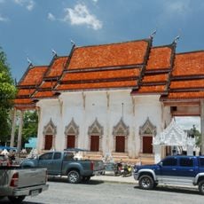
Mueang Surat Thani, Administrative district in Surat Thani, Thailand.

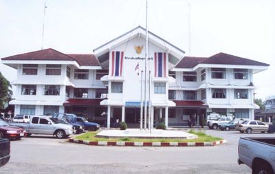
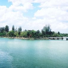
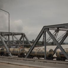
Mueang Surat Thani is an administrative district stretching along the Tapi River with 11 sub-districts featuring mangrove channels, agricultural areas, and waterways. The area serves as a major transportation hub with railway, port, and road links connecting to other southern regions.

The area was originally known as Ban Don before being renamed Mueang Surat Thani in 1938. This change followed the province's own renaming in 1915 as administrative reorganization reshaped the region.

Southern Thai dialects shape daily conversations here, while communities reflect centuries of Chinese migration through their customs and local practices. You notice this blend in how neighborhoods are organized and in the traditions people maintain.

The area is best accessed by train or car as multiple roads and railway lines serve the district well. Getting oriented is easier if you familiarize yourself with local transport options to move between different parts.

Many local coconut plantations use trained monkeys to harvest fruit from tall trees. This distinctive farming practice reflects agricultural traditions that have been part of the area for generations.

The community of curious travelers

AroundUs brings together thousands of curated places, local tips, and hidden gems, enriched daily by 60,000 contributors worldwide.

Start exploring
Location
Elevation above the sea
6 m
Shares border with
Kanchanadit, Ban Na San, Ban Na Doem, Phunphin
GPS coordinates
9.13639,99.32028
Latest update
December 7, 2025 10:07
Reviews
Share your experience

No review yet

Discussions
Start a discussion...

No discussion yet

« Mueang Surat Thani - Administrative district in Surat Thani, Thailand » is provided by Around Us (aroundus.com). Images and texts are derived from Wikimedia project under a Creative Commons license. You are allowed to copy, distribute, and modify copies of this page, under the conditions set by the license, as long as this note is clearly visible.

Discover hidden gems everywhere you go!

From secret cafés to breathtaking viewpoints, skip the crowded tourist spots and find places that match your style. Our app makes it easy with voice search, smart filtering, route optimization, and insider tips from travelers worldwide. Download now for the complete mobile experience.

Around Us App Screenshot

A unique approach to discovering new places

Le Figaro

All the places worth exploring

France Info

A tailor-made excursion in just a few clicks

20 Minutes

Around Us
Travel Guide & Maps
Download

Send to your phone

QR Code
1

Open the camera app on your mobile.

2

Point at the QR code with your camera. A notification will appear.

3

Tap the notification to open the link.