Enable Location

We need your location to show you interesting places around you

Discover nearby places

Find interesting locations and hidden gems around you

Precise directions

Get accurate directions and distances to places

Your location is never shared with other users. It's only used when you tap the location button.

Lambeth

Log in to your account

Start exploring — it's free

Trusted by 62,062 travelers worldwide

Continue with Google
Continue with Apple
or

We will send you a code to connect

By continuing, you accept our Terms and Conditions and our Privacy Policy

Check your inbox

We've sent a pincode in your inbox. Please enter the code below.

Lambeth

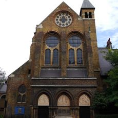
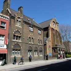
Lambeth, District in South London, England

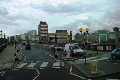
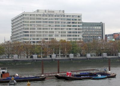
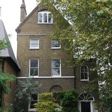
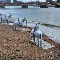
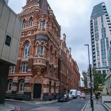
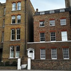
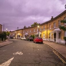
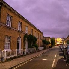
Lambeth is a district in South London in the Borough of Lambeth, England. The area stretches from the Thames riverbank into quieter residential streets and includes several tube stations and parks such as Archbishop's Park.

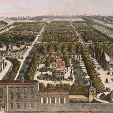
The first written record dates from 1062, when the name referred to a landing place for lambs near the river. Over the centuries the area evolved from agricultural fields into a densely populated urban neighborhood.

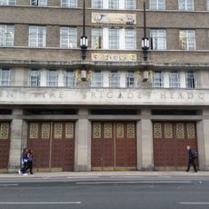
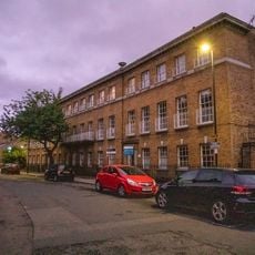
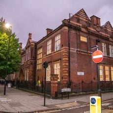
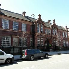
The Lambeth Museum preserves the area's past inside a Victorian fire station. Many cafés and shops along the main streets now show Latin American and Southern European influences in their offerings.

Public buses and several tube lines connect the area with the rest of the city. Many supermarkets and local shops stay open until late evening and offer everyday goods.

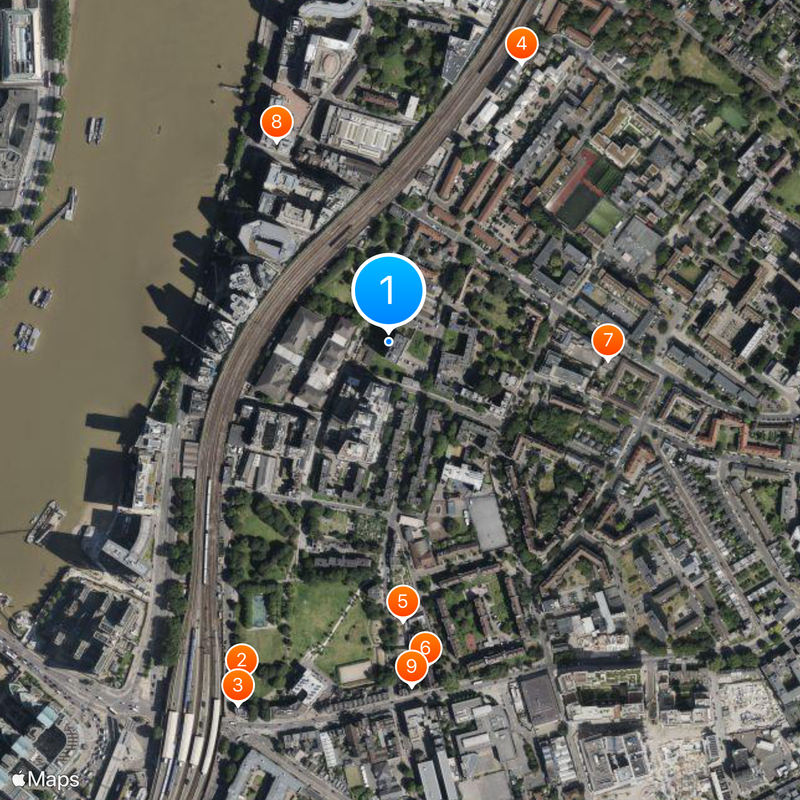
Frazier Street marks the geographical center of the capital and stands a few minutes' walk from Lambeth North station. Only a small plaque on the ground indicates this mathematical curiosity.

The community of curious travelers

AroundUs brings together thousands of curated places, local tips, and hidden gems, enriched daily by 60,000 contributors worldwide.

Start exploring
GPS coordinates
51.49030,-0.11930
Latest update
December 12, 2025 23:40
Around this place
Vauxhall Gardens
United Kingdom

Vauxhall Gardens

441 m
Royal Vauxhall Tavern
United Kingdom

Royal Vauxhall Tavern

470 m
Newport Street Gallery
United Kingdom

Newport Street Gallery

370 m
Vauxhall City Farm
United Kingdom

Vauxhall City Farm

334 m
St Peter's Church
United Kingdom

St Peter's Church

392 m
Children's Day Hospital
United Kingdom

Children's Day Hospital

263 m
Lambeth Fire Station
United Kingdom

Lambeth Fire Station

275 m
Herbert House
United Kingdom

Herbert House

413 m
St Peter's Vicarage
United Kingdom

St Peter's Vicarage

398 m
St Anne's House
United Kingdom

St Anne's House

468 m
Following the Leader (Memorial to the Children Killed in the Blitz)
United Kingdom

Following the Leader (Memorial to the Children Killed in the Blitz)

261 m
Lilian Baylis School
United Kingdom

Lilian Baylis School

369 m
The Rising Tide
United Kingdom

The Rising Tide

436 m
Drill Tower To The East Of 8 Albert Embankment
United Kingdom

Drill Tower To The East Of 8 Albert Embankment

309 m
Front Railings And Forecourt Wall And Gate To Kennington Palace Court
United Kingdom

Front Railings And Forecourt Wall And Gate To Kennington Palace Court

397 m
49 And 51, Sancroft Street Se11
United Kingdom

49 And 51, Sancroft Street Se11

398 m
Southbank House
United Kingdom

Southbank House

223 m
Woodstock Court
United Kingdom

Woodstock Court

309 m
River Wall With 28 Lamp Standards From Lambeth Bridge To West Of Alembic House
United Kingdom

River Wall With 28 Lamp Standards From Lambeth Bridge To West Of Alembic House

241 m
Gates, Piers And Railings At Western Block Of Number 39 (Beaufoy School Technical Block)
United Kingdom

Gates, Piers And Railings At Western Block Of Number 39 (Beaufoy School Technical Block)

211 m
337, Kennington Lane Se11
United Kingdom

337, Kennington Lane Se11

443 m
Western Block Of Number 39 (The Former Beaufoy Institute)
United Kingdom

Western Block Of Number 39 (The Former Beaufoy Institute)

206 m
Four Public Benches On Embankment Footpath Immediately North Of Alembic House
United Kingdom

Four Public Benches On Embankment Footpath Immediately North Of Alembic House

295 m
Walls Of Former Graveyard On Perimeter Of Recreation Ground
United Kingdom

Walls Of Former Graveyard On Perimeter Of Recreation Ground

309 m
1-32, Cardigan Street Se11
United Kingdom

1-32, Cardigan Street Se11

419 m
45-51, Courtenay Street Se11
United Kingdom

45-51, Courtenay Street Se11

463 m
Newquay House
United Kingdom

Newquay House

338 m
Mara's Scene Painting Shop
United Kingdom

Mara's Scene Painting Shop

359 m
Show the full map
« Lambeth - District in South London, England » is provided by Around Us (aroundus.com). Images and texts are derived from Wikimedia project under a Creative Commons license. You are allowed to copy, distribute, and modify copies of this page, under the conditions set by the license, as long as this note is clearly visible.

Discover hidden gems everywhere you go!

From secret cafés to breathtaking viewpoints, skip the crowded tourist spots and find places that match your style. Our app makes it easy with voice search, smart filtering, route optimization, and insider tips from travelers worldwide. Download now for the complete mobile experience.

Around Us App Screenshot

A unique approach to discovering new places

Le Figaro

All the places worth exploring

France Info

A tailor-made excursion in just a few clicks

20 Minutes

Around Us
Travel Guide & Maps
Download

Send to your phone

QR Code
1

Open the camera app on your mobile.

2

Point at the QR code with your camera. A notification will appear.

3

Tap the notification to open the link.