Oundle, Market town in North Northamptonshire, England
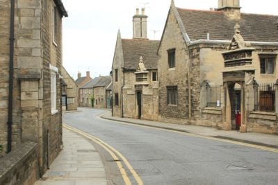
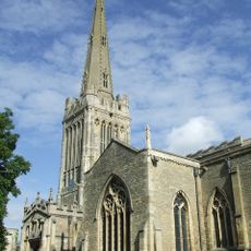
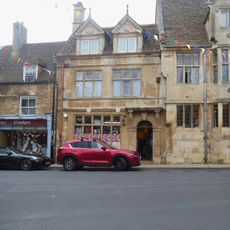
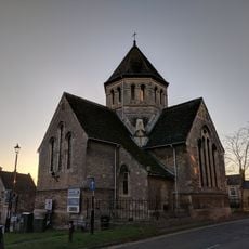
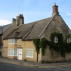
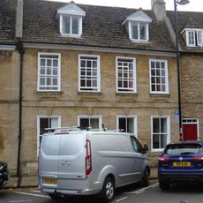
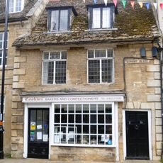
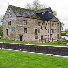
Oundle is a market town in North Northamptonshire built from locally quarried stone that sits beside the River Nene. Streets here contain buildings from many periods, showing how the town grew and changed across the centuries.
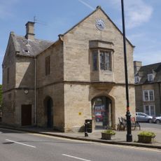
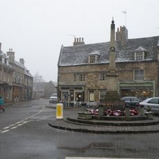
The market received formal approval in the 12th century, marking a turning point that made trade central to the town's development. A new market building rose in the 19th century to replace the older structure that had served the community for centuries.
The school's presence shapes how the town looks and feels, with students moving through streets and using local shops and spaces daily. The buildings connected to it reflect local pride in education and have influenced how the community developed over time.
The marketplace comes alive on Thursdays when traders set up their stalls, making it the best time to visit if you want to see local commerce in action. The town is easy to explore on foot since most shops and attractions cluster around the center.
The limestone used throughout the town has a special quality that workers could shape into intricate details and carvings while fresh from the quarry. This quality of stone allowed craftspeople to create the decorative features still visible on buildings today.
Location: North Northamptonshire
Website: http://oundle.gov.uk
GPS coordinates: 52.48000,-0.47200
Latest update: December 14, 2025 11:35
Nene Way
1.2 km
The Town Hall
323 m
Parish Church of St Peter
389 mOundle Congregational Church
131 mGlapthorn Road Hospital Chapel
522 mLaxton Grammar School (That Part To South East End Of Church Street)
315 mOundle School Memorial Chapel
346 mRose And Crown Public House
310 mThe White Lion Public House
422 m
Oundle Post Office
230 m
Holy Name Of Jesus Church
213 mVictoria Inn Public House
149 mWaggon And Horses Public House
185 m7 And 8, Stoke Hill
253 mOld Dryden House, Oundle School
411 mAshton Roman small town north east of Oundle
1.5 kmSchool House And Walls Of Oundle School
273 m
Oundle and Ashton War Memorial
242 m63 And 65, Benefield Road
711 m
21, St Osyth's Lane
425 m94, West Street
173 m34, West Street
99 m43 And 45, North Street
546 mSouth Bridge
246 m
Branston House West Wing
323 m
2, Market Place
251 m
The Talbot Hotel, Including Ranges Of Stables And Barns At Rear, Mounting Block Near Main Carriage Entrance
234 m
Barnwell Mill Restaurant
1.1 kmVisited this place? Tap the stars to rate it and share your experience / photos with the community! Try now! You can cancel it anytime.
Discover hidden gems everywhere you go!
From secret cafés to breathtaking viewpoints, skip the crowded tourist spots and find places that match your style. Our app makes it easy with voice search, smart filtering, route optimization, and insider tips from travelers worldwide. Download now for the complete mobile experience.
A unique approach to discovering new places❞
— Le Figaro
All the places worth exploring❞
— France Info
A tailor-made excursion in just a few clicks❞
— 20 Minutes