Enable Location

We need your location to show you interesting places around you

Discover nearby places

Find interesting locations and hidden gems around you

Precise directions

Get accurate directions and distances to places

Your location is never shared with other users. It's only used when you tap the location button.

Johnson County

Log in to your account

Start exploring — it's free

Trusted by 62,485 travelers worldwide

Continue with Google
Continue with Apple
or

We will send you a code to connect

By continuing, you accept our Terms and Conditions and our Privacy Policy

Check your inbox

We've sent a pincode in your inbox. Please enter the code below.

Johnson County, Administrative county in northwest Arkansas, US

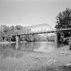
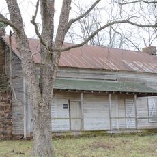
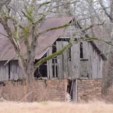
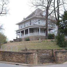
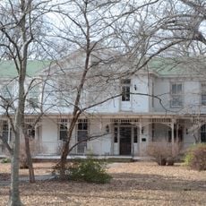
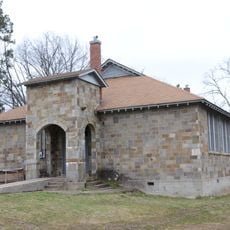
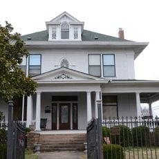
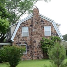
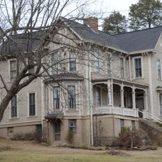
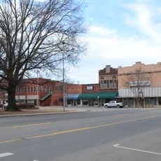
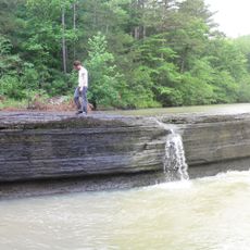
Johnson County is an administrative county in northwest Arkansas that contains the cities of Clarksville, Coal Hill, Hartman, Knoxville, and Lamar spread across its landscape. The terrain features rolling hills, wooded areas, and small towns connected by rural roads that define the character of the region.

This county was established in 1833 as Arkansas's 30th county and named after Benjamin Johnson, a prominent territorial judge of that era. Its creation reflected the expansion period when settlers were moving into the Ozark region.

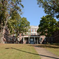
The University of the Ozarks in Clarksville serves as an educational hub for the region and shapes how many locals view learning and community development. You can see its influence on the life of the county through various campus events and partnerships with surrounding towns.

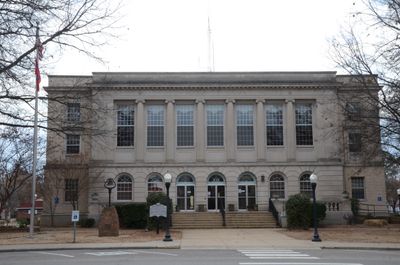
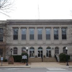
The county is served by several school districts, a sheriff's office, and courthouse services that handle local administration. When visiting, be aware that the area has strict regulations regarding alcohol sales, which may affect where you can dine or attend events.

The county operates as a dry territory where alcohol sales are strictly prohibited throughout its boundaries. This regulation shapes how residents and visitors experience dining and social gatherings in ways that differ from neighboring areas.

The community of curious travelers

AroundUs brings together thousands of curated places, local tips, and hidden gems, enriched daily by 60,000 contributors worldwide.

Start exploring
Location
Inception
November 16, 1833
Capital city
Clarksville
Shares border with
Newton County, Logan County, Pope County, Madison County, Franklin County
GPS coordinates
35.55000,-93.46667
Latest update
December 10, 2025 15:58
Around this place
Clarksville Confederate Monument
United States of America

Clarksville Confederate Monument

9.2 km
Wiederkehr Wine Cellar
United States of America

Wiederkehr Wine Cellar

25.8 km
Union School
United States of America

Union School

15.6 km
Big Piney Creek Bridge
United States of America

Big Piney Creek Bridge

25.2 km
St. Paul Lutheran School
United States of America

St. Paul Lutheran School

18.6 km
Harmony Presbyterian Church
United States of America

Harmony Presbyterian Church

9.4 km
Farmer's State Bank
United States of America

Farmer's State Bank

29.2 km
Pioneer House
United States of America

Pioneer House

9.9 km
Anhalt Barn
United States of America

Anhalt Barn

28 km
U.S. 64 Horsehead Creek Bridge
United States of America

U.S. 64 Horsehead Creek Bridge

18 km
Dunlap House
United States of America

Dunlap House

8.8 km
Edward Taylor McConnell House
United States of America

Edward Taylor McConnell House

9 km
Main Street Bridge
United States of America

Main Street Bridge

29.4 km
Troy Lasater Service Station
United States of America

Troy Lasater Service Station

29.4 km
Bunch-Walton Post No. 22 American Legion Hut
United States of America

Bunch-Walton Post No. 22 American Legion Hut

8.8 km
Ozone School
United States of America

Ozone School

9.3 km
MacLean Hall
United States of America

MacLean Hall

8.3 km
Johnson County Courthouse
United States of America

Johnson County Courthouse

8.8 km
Clarksville National Guard Armory
United States of America

Clarksville National Guard Armory

8.4 km
McKennon House
United States of America

McKennon House

8.9 km
Munger House
United States of America

Munger House

21.2 km
Pennington House
United States of America

Pennington House

8.6 km
Clarksville Commercial Historic District
United States of America

Clarksville Commercial Historic District

8.8 km
Davis House
United States of America

Davis House

9.2 km
Freeborn T. Lasater House
United States of America

Freeborn T. Lasater House

29.3 km
Fair View School
United States of America

Fair View School

31.8 km
Capt. Archibald S. McKennon House
United States of America

Capt. Archibald S. McKennon House

8.6 km
Haw Creek Falls Recreation Area
United States of America

Haw Creek Falls Recreation Area

23.7 km
Show the full map
« Johnson County - Administrative county in northwest Arkansas, US » is provided by Around Us (aroundus.com). Images and texts are derived from Wikimedia project under a Creative Commons license. You are allowed to copy, distribute, and modify copies of this page, under the conditions set by the license, as long as this note is clearly visible.

Discover hidden gems everywhere you go!

From secret cafés to breathtaking viewpoints, skip the crowded tourist spots and find places that match your style. Our app makes it easy with voice search, smart filtering, route optimization, and insider tips from travelers worldwide. Download now for the complete mobile experience.

Around Us App Screenshot

A unique approach to discovering new places

Le Figaro

All the places worth exploring

France Info

A tailor-made excursion in just a few clicks

20 Minutes

Around Us
Travel Guide & Maps
Download

Send to your phone

QR Code
1

Open the camera app on your mobile.

2

Point at the QR code with your camera. A notification will appear.

3

Tap the notification to open the link.