Pope County

Log in to your account

AroundUs is a community-driven map of interesting places, built by curious explorers like you. It grows with every review, story, and photo you share.
Connect to save your favorite spots, contribute locations, and create personalized routes.
By continuing, you accept our Terms and Conditions and our Privacy Policy
Add to collection
Map
Suggest a change
Share

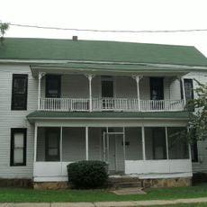
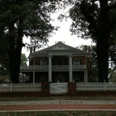
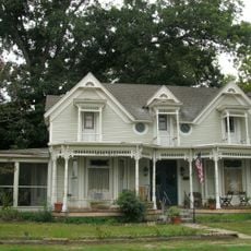
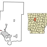
Pope County, Administrative division in Arkansas, United States

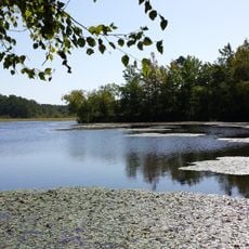
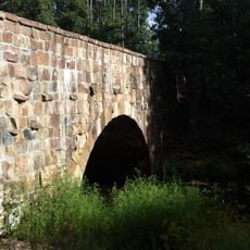
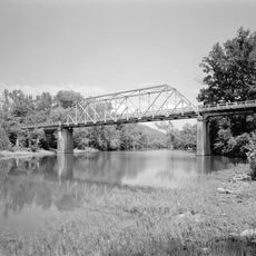
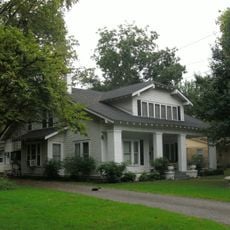
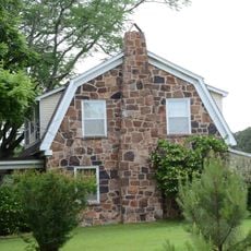
Pope County is an administrative division spanning northwestern Arkansas that incorporates both river valley farmlands and portions of the Ozark National Forest. The landscape combines agricultural areas with forested terrain and multiple waterways.

The county was established on November 2, 1829, carved from Crawford County and named after John Pope, the third territorial governor of Arkansas. The region later became a center for farming and timber activities.

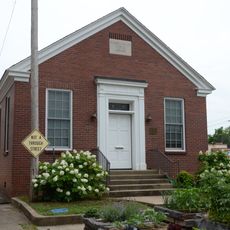
The county library system maintains multiple branches throughout the region, providing residents with educational resources, digital services, and community programs.

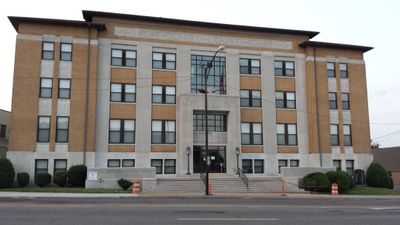
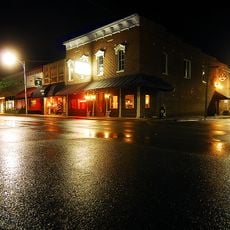
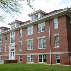
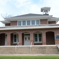
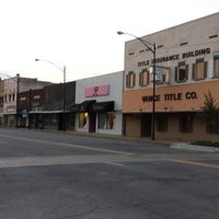
Russellville serves as the county seat and is the main hub for administrative services, courts, and public departments. Visitors can locate most official services and institutions in this central location.

The area contains several archaeological sites with rock art from the Mississippian Period, four of which are listed in the National Register of Historic Places. These prehistoric artworks reveal the early artistic and cultural activity in the region.

Location: Arkansas

Inception: November 2, 1829

Capital city: Russellville

Shares border with: Newton County, Searcy County, Van Buren County, Conway County, Yell County, Logan County, Johnson County

Website: http://popecountyar.com

GPS coordinates: 35.42639,-93.03194

Latest update: December 7, 2025 19:31

Photos
Around this place
Show the full map
CCC architecture of Petit Jean State Park
United States of America

CCC architecture of Petit Jean State Park

34.8 km
Petit Jean State Park-Lake Bailey-Roosevelt Lake Historic District
United States of America

Petit Jean State Park-Lake Bailey-Roosevelt Lake Historic District

34.8 km
Cedar Creek Bridge
United States of America

Cedar Creek Bridge

34.5 km
Russellville Downtown Historic District
United States of America

Russellville Downtown Historic District

18.9 km
Potts Inn
United States of America

Potts Inn

19.9 km
Russellville Public Library
United States of America

Russellville Public Library

19.1 km
Big Piney Creek Bridge
United States of America

Big Piney Creek Bridge

33.5 km
St. Paul Lutheran School
United States of America

St. Paul Lutheran School

23.3 km
Yell County Courthouse
United States of America

Yell County Courthouse

25.2 km
Wilson Hall
United States of America

Wilson Hall

17.7 km
Pottsville Commercial Historic District
United States of America

Pottsville Commercial Historic District

19.7 km
Physical Education Building
United States of America

Physical Education Building

17.6 km
Caraway Hall
United States of America

Caraway Hall

17.5 km
Williamson Hall
United States of America

Williamson Hall

17.9 km
Latimore Tourist Home
United States of America

Latimore Tourist Home

19.4 km
Hughes Hall
United States of America

Hughes Hall

17.8 km
Wilson House
United States of America

Wilson House

19.2 km
Girls' Domestic Science and Arts Building
United States of America

Girls' Domestic Science and Arts Building

17.6 km
Steamboat House
United States of America

Steamboat House

25 km
Riggs-Hamilton American Legion Post No. 20
United States of America

Riggs-Hamilton American Legion Post No. 20

18.8 km
First Presbyterian Church
United States of America

First Presbyterian Church

25.5 km
John W. White House
United States of America

John W. White House

19.2 km
First United Methodist Church
United States of America

First United Methodist Church

25.5 km
Kimball House
United States of America

Kimball House

34.2 km
Trinity Lutheran Church
United States of America

Trinity Lutheran Church

34.1 km
Thomas J. Hankins House
United States of America

Thomas J. Hankins House

33.4 km
Thomas James Cotton House
United States of America

Thomas James Cotton House

25.6 km
Munger House
United States of America

Munger House

20.6 km
Show the full map
Reviews

Visited this place? Tap the stars to rate it and share your experience / photos with the community! Try now! You can cancel it anytime.

« Pope County - Administrative division in Arkansas, United States » is provided by Around Us (aroundus.com). Images and texts are derived from Wikimedia project under a Creative Commons license. You are allowed to copy, distribute, and modify copies of this page, under the conditions set by the license, as long as this note is clearly visible.

Discover hidden gems everywhere you go!

From secret cafés to breathtaking viewpoints, skip the crowded tourist spots and find places that match your style. Our app makes it easy with voice search, smart filtering, route optimization, and insider tips from travelers worldwide. Download now for the complete mobile experience.

Around Us App Screenshot

A unique approach to discovering new places

Le Figaro

All the places worth exploring

France Info

A tailor-made excursion in just a few clicks

20 Minutes