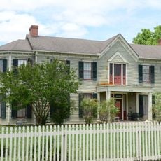
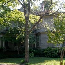
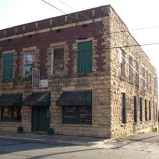
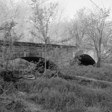
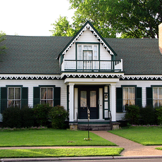
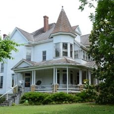
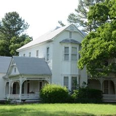
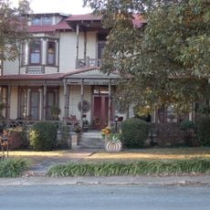
Independence County, County seat in northeastern Arkansas, US
Independence County is an administrative division in northeastern Arkansas spanning roughly 763 square miles across the White River region. The area features agricultural land, manganese deposits, and limestone production facilities throughout its territory.
The county was established in 1820 as Arkansas's ninth administrative division following the division of Lawrence County. This founding came as part of the territorial reorganization after the Louisiana Purchase.
The county is home to Lyon College and the University of Arkansas Community College, which serve as centers for learning and community gathering. These institutions shape how people in the area connect and spend their time.
The local Batesville Municipal Regional Airport provides flight access with a 6,000-foot lighted runway for regional travel. Most facilities in the area are easiest to reach by car, so planning transportation ahead is helpful.
The area is a significant center for mineral extraction, particularly manganese, marble, and limestone resources. These raw materials play a notable role in shaping local economy and land use.
Location: Arkansas
Inception: October 20, 1820
Capital city: Batesville
Shares border with: Sharp County, White County, Lawrence County, Jackson County, Cleburne County, Stone County, Izard County
Website: https://independencecounty.com
GPS coordinates: 35.72306,-91.52056
Latest update: December 7, 2025 20:26
Jacksonport State Park
21.1 km
Tuckerman Water Tower
29 km
Newport Bridge
24.5 km
Big Bottom Slough Bridge
6.9 km
Lee's Chapel Church and Masonic Hall
22.8 km
Cedar Creek Bridge
9.1 km
Batesville Confederate Monument
13.1 km
First Presbyterian Church
25.4 km
Adler House
12.8 km
Batesville Commercial Historic District
13.2 km
Jackson Guards Memorial
21.1 km
Bethel African Methodist Episcopal Church
11.9 km
Charles R. Handford House
12.6 km
Central Avenue Bridge
13.3 km
Moorefield School
6.5 km
Glenn House
12.9 km
Empie-Van Dyke House
25.5 km
Dondy Building
13 km
Miller Creek Bridge
11 km
Garrott House
12.9 km
Batesville East Main Historic District
13.8 km
Dearing House
7.7 km
Zachariah Ford House
34.5 km
Newport American Legion Community Hut
26 km
James S. Handford House
12.7 km
Hulsey Bend School
13.5 km
Gregg House
24.8 km
Wycough-Jones House
12.9 kmVisited this place? Tap the stars to rate it and share your experience / photos with the community! Try now! You can cancel it anytime.
Discover hidden gems everywhere you go!
From secret cafés to breathtaking viewpoints, skip the crowded tourist spots and find places that match your style. Our app makes it easy with voice search, smart filtering, route optimization, and insider tips from travelers worldwide. Download now for the complete mobile experience.
A unique approach to discovering new places❞
— Le Figaro
All the places worth exploring❞
— France Info
A tailor-made excursion in just a few clicks❞
— 20 Minutes