
Buchanan County, Administrative county in northeastern Iowa, United States
Buchanan County extends across 573 square miles of land with Independence serving as the county seat and administrative center for over 20,000 residents.
The Wisconsin Territorial Legislature established Buchanan County in December 1837, naming it after Senator James Buchanan, who later became the 15th President.
The county incorporates sixteen distinct townships, including a notable Hazleton Old Order Amish settlement that maintains traditional farming and lifestyle practices.
The county offices operate from Monday through Friday between 8:00 AM and 4:30 PM, providing administrative services at 210 5th Avenue NE in Independence.
The region contains a network of major transportation routes, including Interstate 380 and U.S. Highway 20, connecting residents to neighboring counties.
Location: Iowa
Inception: 1837
Capital city: Independence
Shares border with: Fayette County, Benton County, Black Hawk County, Delaware County, Linn County, Bremer County, Clayton County
Website: http://co.buchanan.ia.us
GPS coordinates: 42.47194,-91.83917
Latest update: March 25, 2025 09:56
Backbone State Park
29.6 km
Cedar Rock State Park
9.3 km
Delaware County Courthouse
32.6 km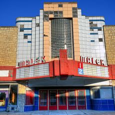
Malek Theater
4.4 km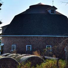
Robert Kirkpatrick Round Barn
30.1 km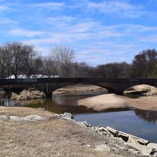
Dunkerton Bridge
28.8 km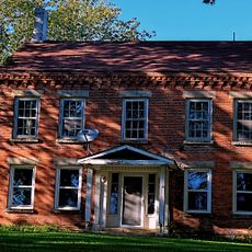
Coffin's Grove Stagecoach House
24.6 km
Lee House
3.8 km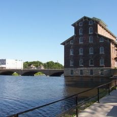
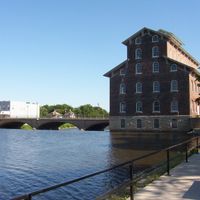
Wapsipinicon Mill
4.6 km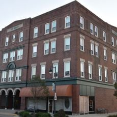
Hotel Mealey
23.6 km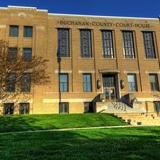
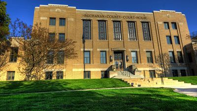
Buchanan County Courthouse
4.1 km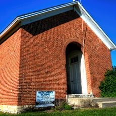
McGee School
26.5 km
Lincoln Elementary School
30.9 km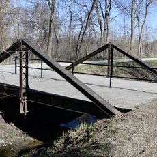
280th Street Bridge
12.9 km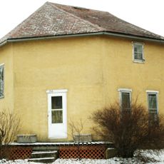
William Waterfield House
31.3 km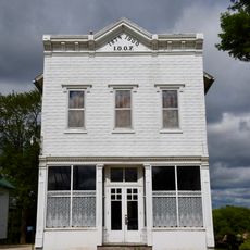
Odd Fellows Hall
24.1 km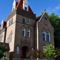
Munson Building
4.4 km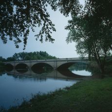
Wapsipinicon River Bridge
4.5 km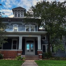
J.J. Hoag House
31.5 km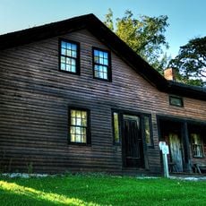
Richardson-Jakway House
15.8 km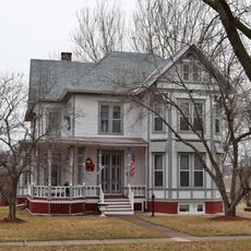
Robert R. and Julia L. Plane House
4.4 km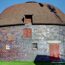
Erza McKenzie Round Barn
17 km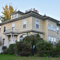
Alfred Hanson House
24.3 km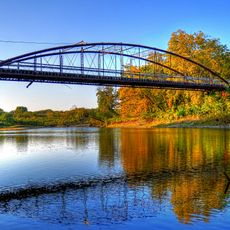
Taylor's Ford Bridge
8.4 km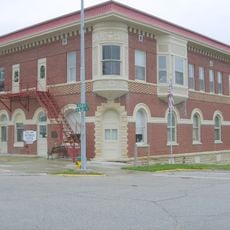
Maple View Sanitarium
24.3 km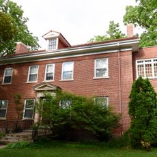
Dr. Judd C. and Margaret S. Clarke Shellito House
4.1 km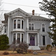
Eliphalet W. and Catherine E. Jaquish Purdy House
4.8 km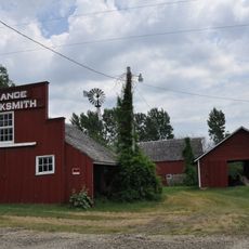
August H.J. and Justena Lange Farmstead Historic District
21.8 kmReviews
Visited this place? Tap the stars to rate it and share your experience / photos with the community! Try now! You can cancel it anytime.
Discover hidden gems everywhere you go!
From secret cafés to breathtaking viewpoints, skip the crowded tourist spots and find places that match your style. Our app makes it easy with voice search, smart filtering, route optimization, and insider tips from travelers worldwide. Download now for the complete mobile experience.

A unique approach to discovering new places❞
— Le Figaro
All the places worth exploring❞
— France Info
A tailor-made excursion in just a few clicks❞
— 20 Minutes