Enable Location

We need your location to show you interesting places around you

Discover nearby places

Find interesting locations and hidden gems around you

Precise directions

Get accurate directions and distances to places

Your location is never shared with other users. It's only used when you tap the location button.

Buchanan County

Log in to your account

Start exploring — it's free

Trusted by 61,855 travelers worldwide

Continue with Google
Continue with Apple
or

We will send you a code to connect

By continuing, you accept our Terms and Conditions and our Privacy Policy

Check your inbox

We've sent a pincode in your inbox. Please enter the code below.

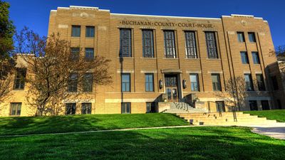
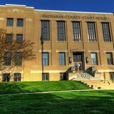
Buchanan County, Administrative county in northeastern Iowa, United States

Description

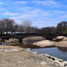
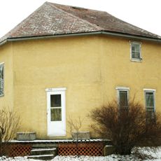
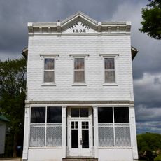
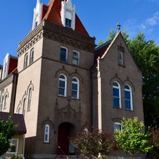
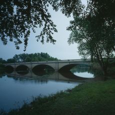
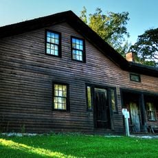
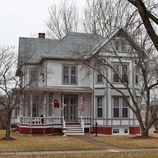
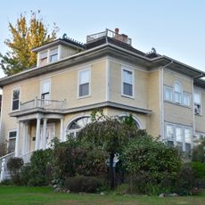
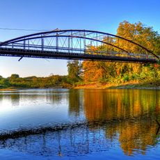
Buchanan County is an administrative county in northeastern Iowa where Independence serves as the county seat. The county contains several towns and communities spread across rural farmland and rolling terrain.

History

The county was established in 1837 by the Wisconsin Territorial Legislature and named after future President James Buchanan. This founding reflected the early settlement and administrative development of the Iowa territory.

Culture

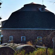
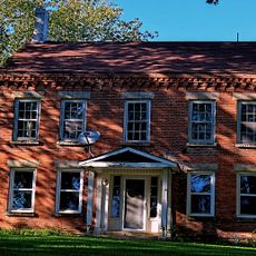
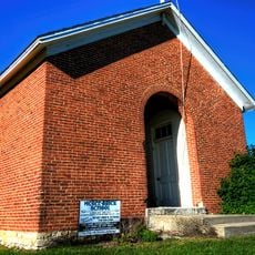
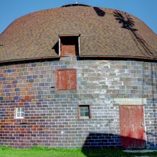
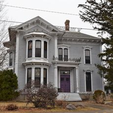
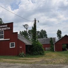
The county incorporates sixteen distinct townships, including a notable Hazleton Old Order Amish settlement that maintains traditional farming and lifestyle practices.

Practical

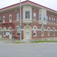
County offices are located in Independence and operate during standard business hours. The area is easily accessible via Interstate 380 and U.S. Highway 20 for those traveling through or visiting.

Did you know?

The region is home to an Old Order Amish community that continues traditional farming and lifestyle practices visible in the rural landscape. This settlement creates a distinctive character within the county's communities.

Location
Inception
1837
Capital city
Independence
Shares border with
Fayette County, Benton County, Black Hawk County, Delaware County, Linn County, Bremer County, Clayton County
GPS coordinates
42.47194,-91.83917
Latest update
December 7, 2025 20:46

AroundUs brings together thousands of curated places, local tips, and hidden gems, enriched daily by 60,000 contributors worldwide. Discover all places nearby (Iowa).

Around this place
Backbone State Park
United States of America

Backbone State Park

29 km
Cedar Rock State Park
United States of America

Cedar Rock State Park

9.3 km
Delaware County Courthouse
United States of America

Delaware County Courthouse

32.6 km
Malek Theater
United States of America

Malek Theater

4.4 km
Robert Kirkpatrick Round Barn
United States of America

Robert Kirkpatrick Round Barn

30.1 km
Dunkerton Bridge
United States of America

Dunkerton Bridge

28.8 km
Coffin's Grove Stagecoach House
United States of America

Coffin's Grove Stagecoach House

24.6 km
Lee House
United States of America

Lee House

3.8 km
Wapsipinicon Mill
United States of America

Wapsipinicon Mill

4.6 km
Hotel Mealey
United States of America

Hotel Mealey

23.6 km
Buchanan County Courthouse
United States of America

Buchanan County Courthouse

4.1 km
McGee School
United States of America

McGee School

26.5 km
Lincoln Elementary School
United States of America

Lincoln Elementary School

30.9 km
280th Street Bridge
United States of America

280th Street Bridge

12.9 km
William Waterfield House
United States of America

William Waterfield House

31.3 km
Odd Fellows Hall
United States of America

Odd Fellows Hall

24.1 km
Munson Building
United States of America

Munson Building

4.4 km
Wapsipinicon River Bridge
United States of America

Wapsipinicon River Bridge

4.5 km
J.J. Hoag House
United States of America

J.J. Hoag House

31.5 km
Richardson-Jakway House
United States of America

Richardson-Jakway House

15.8 km
Robert R. and Julia L. Plane House
United States of America

Robert R. and Julia L. Plane House

4.4 km
Erza McKenzie Round Barn
United States of America

Erza McKenzie Round Barn

17 km
Alfred Hanson House
United States of America

Alfred Hanson House

24.3 km
Taylor's Ford Bridge
United States of America

Taylor's Ford Bridge

8.4 km
Maple View Sanitarium
United States of America

Maple View Sanitarium

24.3 km
Dr. Judd C. and Margaret S. Clarke Shellito House
United States of America

Dr. Judd C. and Margaret S. Clarke Shellito House

4.1 km
Eliphalet W. and Catherine E. Jaquish Purdy House
United States of America

Eliphalet W. and Catherine E. Jaquish Purdy House

4.8 km
August H.J. and Justena Lange Farmstead Historic District
United States of America

August H.J. and Justena Lange Farmstead Historic District

21.8 km
Show the full map
Administrative divisions
« Buchanan County - Administrative county in northeastern Iowa, United States » is provided by Around Us (aroundus.com). Images and texts are derived from Wikimedia project under a Creative Commons license. You are allowed to copy, distribute, and modify copies of this page, under the conditions set by the license, as long as this note is clearly visible.

Discover hidden gems everywhere you go!

From secret cafés to breathtaking viewpoints, skip the crowded tourist spots and find places that match your style. Our app makes it easy with voice search, smart filtering, route optimization, and insider tips from travelers worldwide. Download now for the complete mobile experience.

Around Us App Screenshot

A unique approach to discovering new places

Le Figaro

All the places worth exploring

France Info

A tailor-made excursion in just a few clicks

20 Minutes

Around Us
Travel Guide & Maps
Download

Send to your phone

QR Code
1

Open the camera app on your mobile.

2

Point at the QR code with your camera. A notification will appear.

3

Tap the notification to open the link.