Enable Location

We need your location to show you interesting places around you

Discover nearby places

Find interesting locations and hidden gems around you

Precise directions

Get accurate directions and distances to places

Your location is never shared with other users. It's only used when you tap the location button.

Bowie County

Log in to your account

Start exploring — it's free

Trusted by 62,067 travelers worldwide

Continue with Google
Continue with Apple
or

We will send you a code to connect

By continuing, you accept our Terms and Conditions and our Privacy Policy

Check your inbox

We've sent a pincode in your inbox. Please enter the code below.

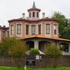
Bowie County, County in northeastern Texas, United States.

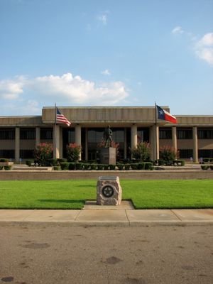
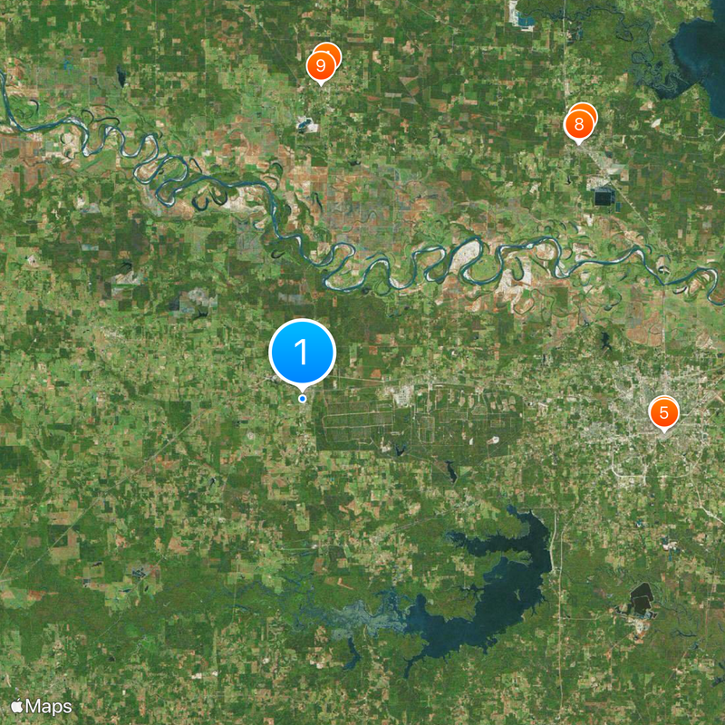
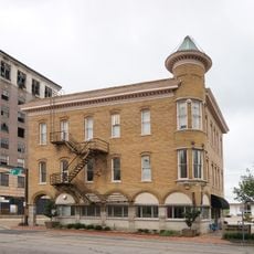
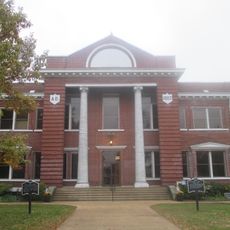
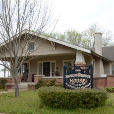
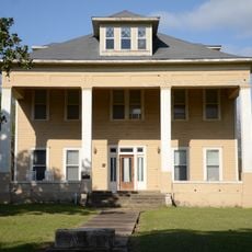
Bowie County is an administrative division in northeastern Texas located within the Texarkana metropolitan area, with New Boston serving as its administrative center. The region includes rural and urban communities connected by major highways that shape how people move through and use the land.

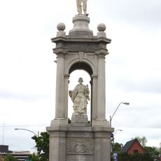
The county was established in 1840 and named after a key figure in the Texas independence movement. Before European settlers arrived, the land had been home to Caddoan-Mississippian peoples for centuries.

The name comes from James Bowie, a key figure in Texas history. People from different communities living here together create the local character and traditions you see throughout the region.

The county is easily reached via Interstate highways I-30 and I-49, which connect the region to neighboring states. These major routes make it straightforward for visitors to access the different communities within the county.

The county borders two different states—Arkansas and Oklahoma—a rare boundary position among Texas administrative divisions. This location at the edge of two neighboring states makes it a strategically significant point in the region.

The community of curious travelers

AroundUs brings together thousands of curated places, local tips, and hidden gems, enriched daily by 60,000 contributors worldwide.

Start exploring
Location
Inception
1840
Capital city
Boston
Part of
Texarkana metropolitan area
Shares border with
McCurtain County, Little River County, Miller County, Cass County, Morris County, Red River County
GPS coordinates
33.45000,-94.42000
Latest update
December 20, 2025 12:43
Around this place
Ace of Clubs House
United States of America

Ace of Clubs House

35 km
Confederate Mothers Monument
United States of America

Confederate Mothers Monument

35.1 km
St. Barnabas Episcopal Church
United States of America

St. Barnabas Episcopal Church

31.3 km
Museum of Regional History
United States of America

Museum of Regional History

35.1 km
Little River County Courthouse
United States of America

Little River County Courthouse

36.4 km
Judge Jefferson Thomas Cowling House
United States of America

Judge Jefferson Thomas Cowling House

37.1 km
Hunter-Coulter House
United States of America

Hunter-Coulter House

36.4 km
Hawkins House
United States of America

Hawkins House

30.5 km
Ashdown Commercial Historic District
United States of America

Ashdown Commercial Historic District

36.6 km
New Rocky Comfort Jail
United States of America

New Rocky Comfort Jail

30.4 km
Little River County Training School Historic District
United States of America

Little River County Training School Historic District

36.1 km
Old US 71 – Ashdown Segment
United States of America

Old US 71 – Ashdown Segment

36.9 km
Perot Theatre
United States of America

Perot Theatre

35.1 km
United States of America

Knights Bluff

28.3 km
United States of America

Pine Bluff

24.6 km
United States of America

Hotel Grim

35.1 km
United States of America

Texas High School Baseball Field

32.7 km
United States of America

Garland Community School Teacherage

24.4 km
United States of America

Spanish Bluff

11.7 km
United States of America

Pullen Lake

29.2 km
United States of America

Elliott Creek Reservoir

15.8 km
United States of America

Caver Lake

33 km
United States of America

Caney Creek Reservoir

10.6 km
United States of America

Willow Bluff

29.5 km
United States of America

Whitaker House

33.9 km
United States of America

Saenger Theater

35 km
United States of America

Hubbard Home

1.5 km
United States of America

Howell W. Runnels Home

33.8 km
Show the full map
Administrative divisions
« Bowie County - County in northeastern Texas, United States » is provided by Around Us (aroundus.com). Images and texts are derived from Wikimedia project under a Creative Commons license. You are allowed to copy, distribute, and modify copies of this page, under the conditions set by the license, as long as this note is clearly visible.

Discover hidden gems everywhere you go!

From secret cafés to breathtaking viewpoints, skip the crowded tourist spots and find places that match your style. Our app makes it easy with voice search, smart filtering, route optimization, and insider tips from travelers worldwide. Download now for the complete mobile experience.

Around Us App Screenshot

A unique approach to discovering new places

Le Figaro

All the places worth exploring

France Info

A tailor-made excursion in just a few clicks

20 Minutes

Around Us
Travel Guide & Maps
Download

Send to your phone

QR Code
1

Open the camera app on your mobile.

2

Point at the QR code with your camera. A notification will appear.

3

Tap the notification to open the link.