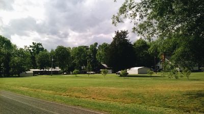
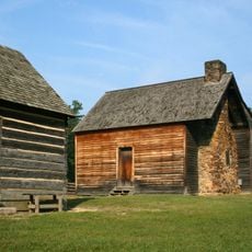
Rougemont, census designated place in North Carolina, United States
Location: North Carolina
Elevation above the sea: 171 m
GPS coordinates: 36.21861,-78.92639
Latest update: March 3, 2025 20:14
Bennett Place State Historic Site
21.5 km
Museum of Life and Science
21.3 km
Eno River State Park
18 km
Castle Mont Rouge
2.6 km
Stagville
13.8 km
Duke Homestead and Tobacco Factory
20.4 km
West Point on the Eno
16.7 km
Horton Grove
12.9 km
Russell School
10.8 km
West Point Mill
16.5 km
Burwell School
22 km
St. Matthew's Episcopal Church and Churchyard
21.9 km
Person County Courthouse
20.2 km
St. Mary's Chapel
13.1 km
Sans Souci
21.5 km
Ruffin-Roulhac House
21.8 km
Old Orange County Courthouse
20.9 km
Rigsbee's Rock House
21.8 km
James A. and Laura Thompson Long House
20.7 km
Cozart-Coley House
18.8 km
Roxboro Male Academy and Methodist Parsonage
20.2 km
Lakewood Park Historic District
22 km
Roxboro Commercial Historic District
20.2 km
Henry-Vernon House
18.3 km
Dr. Arch Jordan House
9.1 km
Kinchen Holloway House
16.1 km
Duke Homestead Tobacco Museum
20.4 km
Palace Theatre
20.1 kmReviews
Visited this place? Tap the stars to rate it and share your experience / photos with the community! Try now! You can cancel it anytime.
Discover hidden gems everywhere you go!
From secret cafés to breathtaking viewpoints, skip the crowded tourist spots and find places that match your style. Our app makes it easy with voice search, smart filtering, route optimization, and insider tips from travelers worldwide. Download now for the complete mobile experience.
A unique approach to discovering new places❞
— Le Figaro
All the places worth exploring❞
— France Info
A tailor-made excursion in just a few clicks❞
— 20 Minutes