Enable Location

We need your location to show you interesting places around you

Discover nearby places

Find interesting locations and hidden gems around you

Precise directions

Get accurate directions and distances to places

Your location is never shared with other users. It's only used when you tap the location button.

Hillsdale County

Log in to your account

Start exploring — it's free

Trusted by 62,478 travelers worldwide

Continue with Google
Continue with Apple
or

We will send you a code to connect

By continuing, you accept our Terms and Conditions and our Privacy Policy

Check your inbox

We've sent a pincode in your inbox. Please enter the code below.

Hillsdale County, Administrative county in southern Michigan, United States.

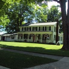
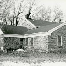
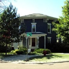
Hillsdale County is an administrative division in southern Michigan with rolling terrain, fertile plains, and numerous waterways. The area comprises both developed towns and rural farmland spread across its boundaries.

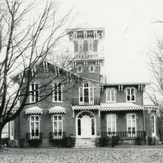
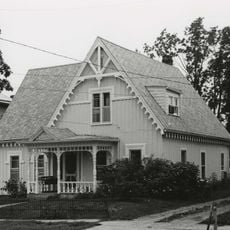
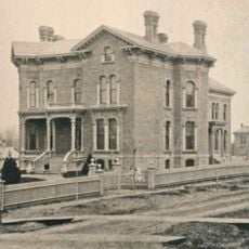
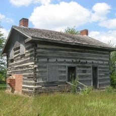
Founded in 1835, the county attracted settlers from New England, particularly descendants of English Puritans who opposed slavery. These early inhabitants shaped the region's development and values.

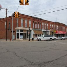
Agriculture and Hillsdale College shape community identity and connect people through shared values. Annual county fairs and local gatherings serve as places where residents meet and maintain their traditions.

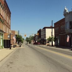
US Routes 12 and 127 connect the area to neighboring states Indiana and Ohio, making travel convenient. These highways help visitors explore multiple towns and rural areas throughout the county.

This is the only county in Michigan that borders both neighboring states Indiana and Ohio, containing the state's southernmost point. This geography makes it a unique crossroads for the region.

The community of curious travelers

AroundUs brings together thousands of curated places, local tips, and hidden gems, enriched daily by 60,000 contributors worldwide.

Start exploring
Location
Inception
1835
Capital city
Hillsdale
Shares border with
Jackson County, Williams County, Calhoun County, Lenawee County, Branch County, Fulton County, Steuben County
GPS coordinates
41.89000,-84.59000
Latest update
December 7, 2025 19:26
Around this place
Lake Hudson State Recreation Area
United States of America

Lake Hudson State Recreation Area

29.5 km
Harrison Lake State Park
United States of America

Harrison Lake State Park

33.1 km
W.H.L. McCourtie Estate
United States of America

W.H.L. McCourtie Estate

23.5 km
Slayton Arboretum
United States of America

Slayton Arboretum

5.9 km
Hillsdale County Courthouse
United States of America

Hillsdale County Courthouse

4.9 km
Gamaliel Thompson House
United States of America

Gamaliel Thompson House

20 km
Grace Episcopal Church
United States of America

Grace Episcopal Church

12 km
William Treadwell House
United States of America

William Treadwell House

18.9 km
Hillsdale Downtown Historic District
United States of America

Hillsdale Downtown Historic District

4.9 km
Mann House
United States of America

Mann House

32.3 km
Enos Michael House
United States of America

Enos Michael House

33.4 km
Concord Village Historic District
United States of America

Concord Village Historic District

32.3 km
Dr. Leonard Hall House
United States of America

Dr. Leonard Hall House

19.7 km
Lorenzo Palmer and Ruth Wells House
United States of America

Lorenzo Palmer and Ruth Wells House

20.1 km
Hudson Downtown Historic District
United States of America

Hudson Downtown Historic District

19.8 km
William R. Kirby Sr. House
United States of America

William R. Kirby Sr. House

4.2 km
Abram C. Fisk House
United States of America

Abram C. Fisk House

31.4 km
E.O. Grosvenor House
United States of America

E.O. Grosvenor House

11.8 km
Trunk Line Bridge No. 237
United States of America

Trunk Line Bridge No. 237

13.5 km
Goose Creek Grasslands
United States of America

Goose Creek Grasslands

29.1 km
East Chicago Street Historic District
United States of America

East Chicago Street Historic District

33.9 km
Heman R. Goodrich House
United States of America

Heman R. Goodrich House

20 km
Kunkle Log House
United States of America

Kunkle Log House

29.7 km
William L. Lords House
United States of America

William L. Lords House

26.5 km
Paddock-Hubbard House
United States of America

Paddock-Hubbard House

32.3 km
Homer Village Historic District
United States of America

Homer Village Historic District

33.5 km
Hudson Cinema
United States of America

Hudson Cinema

19.9 km
Nettle Lake Mound Group
United States of America

Nettle Lake Mound Group

25.4 km
Show the full map
Administrative divisions
« Hillsdale County - Administrative county in southern Michigan, United States » is provided by Around Us (aroundus.com). Images and texts are derived from Wikimedia project under a Creative Commons license. You are allowed to copy, distribute, and modify copies of this page, under the conditions set by the license, as long as this note is clearly visible.

Discover hidden gems everywhere you go!

From secret cafés to breathtaking viewpoints, skip the crowded tourist spots and find places that match your style. Our app makes it easy with voice search, smart filtering, route optimization, and insider tips from travelers worldwide. Download now for the complete mobile experience.

Around Us App Screenshot

A unique approach to discovering new places

Le Figaro

All the places worth exploring

France Info

A tailor-made excursion in just a few clicks

20 Minutes

Around Us
Travel Guide & Maps
Download

Send to your phone

QR Code
1

Open the camera app on your mobile.

2

Point at the QR code with your camera. A notification will appear.

3

Tap the notification to open the link.