
Red Willow County, Administrative county in Nebraska, United States
Red Willow County extends across 718 square miles of rolling hills, with the Republican River flowing through its north-central section at 40.18°N latitude.
The county, established in 1873, received its name from Red Willow Creek, which stems from the Dakota Indian term Chanshasha Wakpala meaning Red Dogwood Creek.
The McCook station maintains railroad heritage through regular California Zephyr Amtrak service, connecting residents to major cities across the United States.
The Red Willow County Courthouse at 502 Norris Avenue in McCook provides administrative services to residents from Monday through Friday between 8 AM and 4 PM.
The population density of 6 inhabitants per square kilometer makes Red Willow County one of the most sparsely populated regions in Nebraska.
Location: Nebraska
Inception: 1873
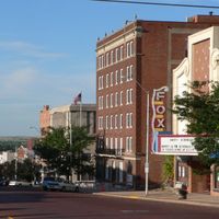
Capital city: McCook
Shares border with: Frontier County, Decatur County, Furnas County, Hitchcock County, Rawlins County
Website: http://co.red-willow.ne.us
GPS coordinates: 40.18000,-100.48000
Latest update: March 8, 2025 16:48
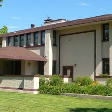
Harvey P. Sutton House
12.7 km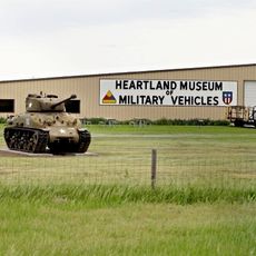
Heartland Museum of Military Vehicles
88.8 km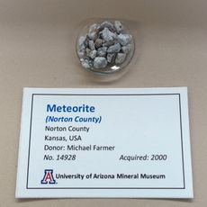
Norton County meteorite
76.1 km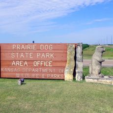
Prairie Dog State Park
61.3 km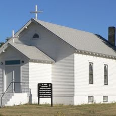
St. John's Evangelical Lutheran German Church and Cemetery
53 km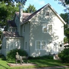
George W. Norris House
12.7 km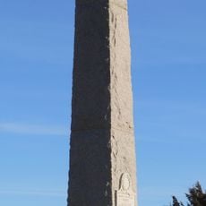
Massacre Canyon Historical Monument
41.3 km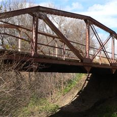
Prairie Dog Creek Bridge
87.4 km
St. Paul's Methodist Protestant Church
29.4 km
W. H. Faling House
28.8 km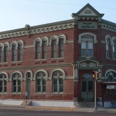
Bank of Oberlin
40.4 km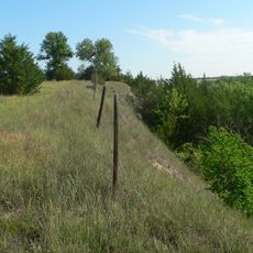
Mowry Bluff Archeological Site
30.5 km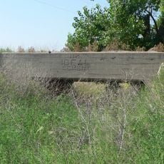
Ideal Cement bridge (Stratton, Nebraska)
60.6 km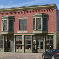
Shirley Opera House
63.2 km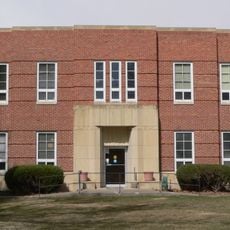
Gosper County Courthouse
69.4 km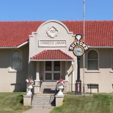
McCook Public-Carnegie Library
12.6 km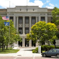
Norton Downtown Historic District
63.8 km
Allen's Opera House
86.5 km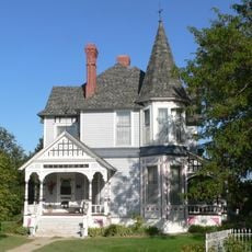
Barbeau House
75.5 km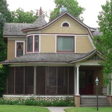
Ernest A. Calling House
88.1 km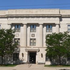
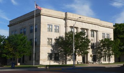
Red Willow County Courthouse
12.6 km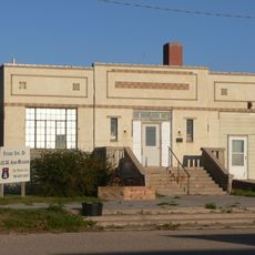
Norcatur City Hall
45.5 km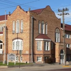
McCook YMCA
12.6 km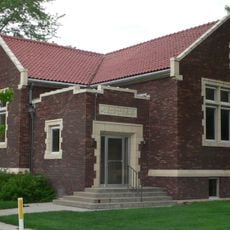
Gothenburg Carnegie Library
87.7 km
North Fork Solomon River Lattice Truss Bridge
65.3 km
Highland Precinct
38.3 km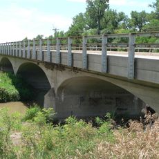
Republican State Aid Bridge
28.6 km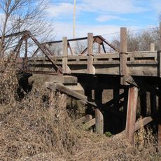
Sappa Creek Bridge
78.9 kmReviews
Visited this place? Tap the stars to rate it and share your experience / photos with the community! Try now! You can cancel it anytime.
Discover hidden gems everywhere you go!
From secret cafés to breathtaking viewpoints, skip the crowded tourist spots and find places that match your style. Our app makes it easy with voice search, smart filtering, route optimization, and insider tips from travelers worldwide. Download now for the complete mobile experience.

A unique approach to discovering new places❞
— Le Figaro
All the places worth exploring❞
— France Info
A tailor-made excursion in just a few clicks❞
— 20 Minutes