Enable Location

We need your location to show you interesting places around you

Discover nearby places

Find interesting locations and hidden gems around you

Precise directions

Get accurate directions and distances to places

Your location is never shared with other users. It's only used when you tap the location button.

Antrim County

Log in to your account

Start exploring — it's free

Trusted by 62,378 travelers worldwide

Continue with Google
Continue with Apple
or

We will send you a code to connect

By continuing, you accept our Terms and Conditions and our Privacy Policy

Check your inbox

We've sent a pincode in your inbox. Please enter the code below.

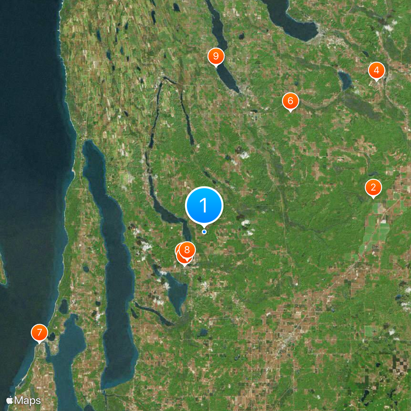
Antrim County, Administrative county in Northern Michigan, United States.

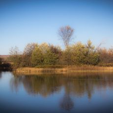
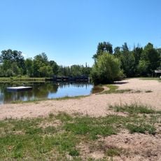
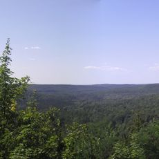
Antrim County is an administrative county in Northern Michigan covering approximately 602 square miles of land with lakes, forests, and rolling hills. The area spans across the Lower Peninsula with diverse natural landscapes.

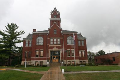
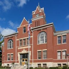
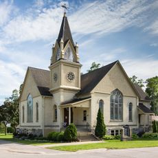
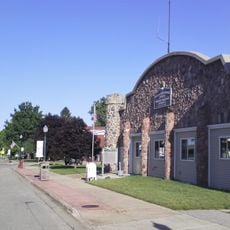
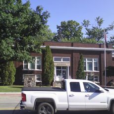
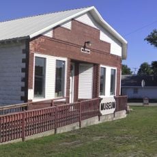
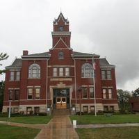
The county was established in the mid-1800s and developed through logging and farming activities. Its administrative center moved to Bellaire in 1880, where it has remained since then.

The Rubber Ducky Festival brings the community together each August with parades, food vendors, and arts exhibitions, with a large duck race as the main event.

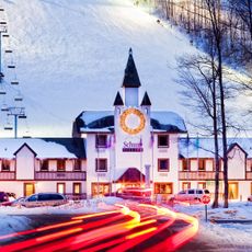
The region offers an extensive network of snowmobile trails and winter facilities operating from November through March with natural and machine-made snow. Visitors should prepare for winter conditions and bring appropriate gear.

Short's Brewing Company in Bellaire produces craft beers and has become a significant business in the county seat. The brewery contributes to the local economy and adds to the area's food culture.

The community of curious travelers

AroundUs brings together thousands of curated places, local tips, and hidden gems, enriched daily by 60,000 contributors worldwide.

Start exploring
Location
Inception
1840
Capital city
Bellaire
Shares border with
Charlevoix County, Otsego County, Kalkaska County, Grand Traverse County, Leelanau County, Crawford County
GPS coordinates
45.01000,-85.18000
Latest update
December 20, 2025 14:40
Around this place
Jordan River Pathway
United States of America

Jordan River Pathway

19.7 km
Henry Richardi House
United States of America

Henry Richardi House

4.1 km
Avalanche Bay Indoor Waterpark
United States of America

Avalanche Bay Indoor Waterpark

26.1 km
Antrim County Courthouse
United States of America

Antrim County Courthouse

4.4 km
United States of America

Raven Hill Discovery Center

16.9 km
Hughes House
United States of America

Hughes House

22.6 km
Holtz Site
United States of America

Holtz Site

3.7 km
John J. and Eva Reynier Porter Estate
United States of America

John J. and Eva Reynier Porter Estate

18.9 km
Elk Rapids First Methodist Episcopal Church
United States of America

Elk Rapids First Methodist Episcopal Church

22.4 km
M-88–Intermediate River Bridge
United States of America

M-88–Intermediate River Bridge

4.2 km
Boyne City Water Works Building
United States of America

Boyne City Water Works Building

25.3 km
The Chief Golf Course
United States of America

The Chief Golf Course

5.2 km
Shanty Creek Resorts - Summit Mountain
United States of America

Shanty Creek Resorts - Summit Mountain

7 km
Richardi Park Beach
United States of America

Richardi Park Beach

4.1 km
Guntzviller's Spirit of the Woods Museum
United States of America

Guntzviller's Spirit of the Woods Museum

24.6 km
United States of America

Pinney Bridge

11.8 km
United States of America

North Beach

22.1 km
United States of America

Webster Bridge

12 km
Deadmans Hill
United States of America

Deadmans Hill

19.5 km
Mancelona Township Hall
United States of America

Mancelona Township Hall

15.1 km
Mancelona Township Library
United States of America

Mancelona Township Library

15.1 km
United States of America

Cedar River Natural Area

4.4 km
Mancelona Area Historical Society Museum
United States of America

Mancelona Area Historical Society Museum

15.7 km
United States of America

Hugh J. Gray Cairn

15.2 km
United States of America

Browns Creek Pathway

17.4 km
United States of America

Avalance Bay Indoor Waterpark

26.1 km
United States of America

Stone Circle

13.2 km
United States of America

Scenic viewpoint

10.9 km
Show the full map
Administrative divisions
« Antrim County - Administrative county in Northern Michigan, United States » is provided by Around Us (aroundus.com). Images and texts are derived from Wikimedia project under a Creative Commons license. You are allowed to copy, distribute, and modify copies of this page, under the conditions set by the license, as long as this note is clearly visible.

Discover hidden gems everywhere you go!

From secret cafés to breathtaking viewpoints, skip the crowded tourist spots and find places that match your style. Our app makes it easy with voice search, smart filtering, route optimization, and insider tips from travelers worldwide. Download now for the complete mobile experience.

Around Us App Screenshot

A unique approach to discovering new places

Le Figaro

All the places worth exploring

France Info

A tailor-made excursion in just a few clicks

20 Minutes

Around Us
Travel Guide & Maps
Download

Send to your phone

QR Code
1

Open the camera app on your mobile.

2

Point at the QR code with your camera. A notification will appear.

3

Tap the notification to open the link.