
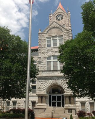
Vernon County, County administration center in Nevada, Missouri, US.
Vernon County spans 837 square miles across western Missouri, featuring a mix of agricultural lands and residential neighborhoods along Interstate 49.
The county, established in 1851, received its name from Colonel Miles Vernon, a state senator who participated in the Battle of New Orleans.
The Osage Nation inhabited this territory before European American settlers transformed the region into farmland and established communities.
County offices operate from 100 West Cherry Street in Nevada, providing services such as property assessment, law enforcement, and public administration.
During the Civil War, Union soldiers burned the county seat of Nevada on May 23, 1863, following conflicts with local guerrilla forces.
Location: Missouri
Inception: 1851
Capital city: Nevada
Shares border with: Bates County, Barton County, Crawford County, Linn County, Bourbon County, St. Clair County, Cedar County
Website: http://vernoncountymo.org
GPS coordinates: 37.85000,-94.34000
Latest update: March 4, 2025 23:46
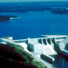
Stockton Lake
55.2 km
Harry S Truman Birthplace State Historic Site
39.9 km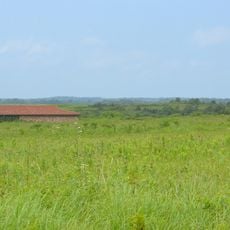
Prairie State Park
42.8 km
Fort Scott National Cemetery
32.1 km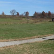
Osage Village State Historic Site
18.5 km
Crawford State Park
48 km
Fort Carondelet
23.7 km
Marais des Cygnes National Wildlife Refuge
49.8 km
Caplinger Mills Historic District
47.3 km
Golden Prairie
56.8 km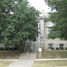
Girard Public Library
58.4 km
Vernon County Courthouse
2 km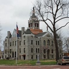
Bates County Courthouse
45.4 km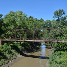
Papinville Marais des Cygnes River Bridge
26.1 km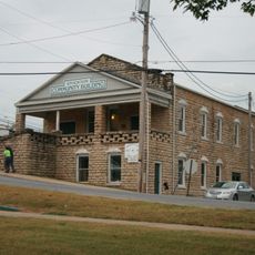
Stockton Community Building
50.7 km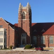
First Presbyterian Church
33.6 km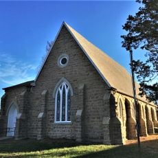
St. John's Episcopal Church
58.4 km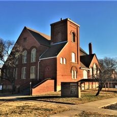
First Presbyterian Church
58 km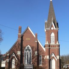
First Congregational Church
32.5 km
Julius A. Wayland House
57.5 km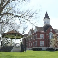
Linn County Courthouse
52.5 km
Mine Creek Bridge
45 km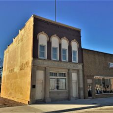
State Bank of Girard
58.3 km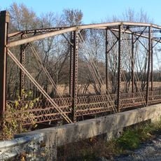
Long Shoals Bridge
29.5 km
Marais des Cygnes Massacre Site
53.9 km
Crawford County Historical Museum
56.9 km
Fox Theater
58.5 km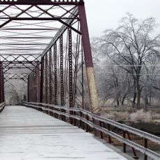
Caplinger Mills Bridge
47.8 kmReviews
Visited this place? Tap the stars to rate it and share your experience / photos with the community! Try now! You can cancel it anytime.

Discover hidden gems everywhere you go!
From secret cafés to breathtaking viewpoints, skip the crowded tourist spots and find places that match your style. Our app makes it easy with voice search, smart filtering, route optimization, and insider tips from travelers worldwide. Download now for the complete mobile experience.

A unique approach to discovering new places❞
— Le Figaro
All the places worth exploring❞
— France Info
A tailor-made excursion in just a few clicks❞
— 20 Minutes