Fort Carondelet, Spanish colonial fort in Vernon County, Missouri, United States.
Fort Carondelet was a wooden fortification built along the Osage River in Missouri to serve trading and military defense functions. The installation consisted of structures designed to store goods and conduct commerce with visiting traders and neighboring peoples.
The fort was founded in 1795 under Spanish colonial rule as the western-most trading outpost for a prominent merchant family. Control of the site changed hands within a few years to another trader who expanded operations in the region.
The site served as a meeting point where European traders and Osage peoples conducted business and formed personal connections. Visitors can sense how such trading posts functioned as places where different communities came together for mutual benefit.
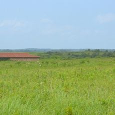
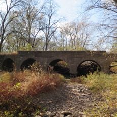
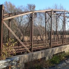
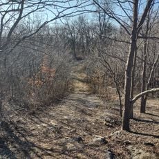
The site is located in rural Missouri and can be challenging to access since only archaeological remains are visible today. Wear sturdy clothing and shoes as the grounds are often overgrown and uneven.
An expedition in 1806 found that the original buildings had already been completely overgrown by vegetation and were nearly unrecognizable. This revealed how rapidly nature reclaims European structures once settlements are abandoned.
The community of curious travelers
AroundUs brings together thousands of curated places, local tips, and hidden gems, enriched daily by 60,000 contributors worldwide.