Muhlenberg County

Log in to your account

AroundUs is a community-driven map of interesting places, built by curious explorers like you. It grows with every review, story, and photo you share.
Connect to save your favorite spots, contribute locations, and create personalized routes.
By continuing, you accept our Terms and Conditions and our Privacy Policy
Add to collection
Map
Suggest a change
Share

Muhlenberg County, Administrative division in western Kentucky, United States.

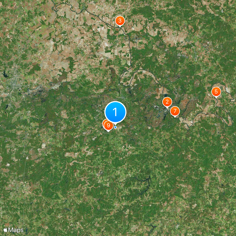
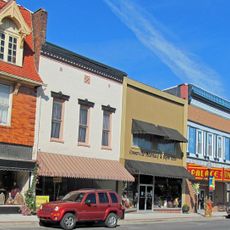
Muhlenberg County is an administrative area in western Kentucky with farmland, forests, and residential communities connected by local roads. The county spreads across gentle terrain with small towns and agricultural land mixed throughout.

The area was established in 1798 and named after General Peter Muhlenberg, who served during the American Revolutionary War. This founding shaped the early growth of settlements across the region.

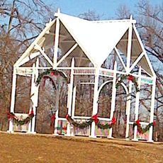
Residents gather at local events throughout the year where regional traditions come alive through music and crafts. These gatherings show how farming heritage shapes the character of the community.

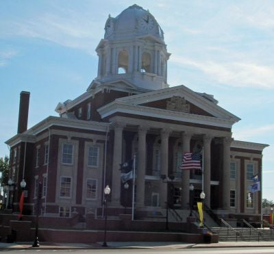
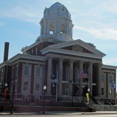
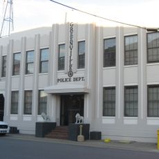
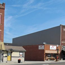
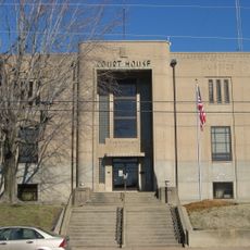
Greenville serves as the main hub for government services, medical care, and education in the region. Visitors will find the main services and facilities concentrated there.

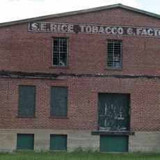
Coal mining shaped the area's economy and development over many decades. This industry left visible marks on the landscape and local identity.

Location: Kentucky

Inception: December 14, 1798

Capital city: Greenville

Shares border with: Logan County, Todd County, McLean County, Ohio County, Butler County, Christian County, Hopkins County

Website: https://muhlenbergcounty.ky.gov/Pages

GPS coordinates: 37.21000,-87.15000

Latest update: December 13, 2025 08:22

Photos
Around this place
Indian Knoll
United States of America

Indian Knoll

16.8 km
Livermore Bridge
United States of America

Livermore Bridge

30.6 km
Old Muhlenberg County Jail
United States of America

Old Muhlenberg County Jail

2.7 km
Carlston Annis Shell Mound
United States of America

Carlston Annis Shell Mound

31.9 km
Muhlenberg County Courthouse
United States of America

Muhlenberg County Courthouse

2.7 km
Baker Site
United States of America

Baker Site

18.3 km
North Main Street Historic District (Greenville, Kentucky)
United States of America

North Main Street Historic District (Greenville, Kentucky)

2.7 km
Brizendine Brothers Nature Park
United States of America

Brizendine Brothers Nature Park

2.5 km
Rice Tobacco Factory
United States of America

Rice Tobacco Factory

2.8 km
Robert Thomas House
United States of America

Robert Thomas House

10 km
South Cherry Street Historic District (Greenville, Kentucky)
United States of America

South Cherry Street Historic District (Greenville, Kentucky)

2.9 km
George Short House
United States of America

George Short House

2.7 km
Greenville City Hall
United States of America

Greenville City Hall

2.7 km
Martin House
United States of America

Martin House

2.4 km
Greenville Commercial Historic District (Greenville, Kentucky)
United States of America

Greenville Commercial Historic District (Greenville, Kentucky)

2.7 km
Downtown Hartford Historic District
United States of America

Downtown Hartford Historic District

34.3 km
W.W. Kington House
United States of America

W.W. Kington House

28.8 km
Frederick Miller House
United States of America

Frederick Miller House

24.1 km
Ceralvo Masonic Hall and School
United States of America

Ceralvo Masonic Hall and School

20.3 km
Lake Malone State Park
United States of America

Lake Malone State Park

17.9 km
Grapevine Lake
United States of America

Grapevine Lake

30.9 km
Coon Range Lake
United States of America

Coon Range Lake

26.8 km
Powell Lake
United States of America

Powell Lake

25.3 km
Rock Hill
United States of America

Rock Hill

29.8 km
Fentress Bluff
United States of America

Fentress Bluff

14.3 km
Kincheloes Bluff
United States of America

Kincheloes Bluff

13 km
Jackson Bluff
United States of America

Jackson Bluff

19.3 km
Stony Point
United States of America

Stony Point

4.7 km
Show the full map
Reviews

Visited this place? Tap the stars to rate it and share your experience / photos with the community! Try now! You can cancel it anytime.

« Muhlenberg County - Administrative division in western Kentucky, United States » is provided by Around Us (aroundus.com). Images and texts are derived from Wikimedia project under a Creative Commons license. You are allowed to copy, distribute, and modify copies of this page, under the conditions set by the license, as long as this note is clearly visible.

Discover hidden gems everywhere you go!

From secret cafés to breathtaking viewpoints, skip the crowded tourist spots and find places that match your style. Our app makes it easy with voice search, smart filtering, route optimization, and insider tips from travelers worldwide. Download now for the complete mobile experience.

Around Us App Screenshot

A unique approach to discovering new places

Le Figaro

All the places worth exploring

France Info

A tailor-made excursion in just a few clicks

20 Minutes