Menominee County, Administrative county in northeastern Wisconsin, United States.
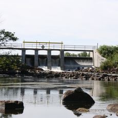
Menominee County is an administrative division in northeastern Wisconsin characterized by extensive forests and several major river systems. The landscape is dominated by woodlands, with the Legend Lake providing a significant body of water for the region.
The county was established in 1959 as Wisconsin's newest administrative division following federal decisions about the Menominee Reservation's status. This change reflected shifting policies toward tribal self-determination.
The area is home to a majority Native American population, with Menominee tribal traditions and governance shaping daily life and community decisions. Visitors can see how the land and its resources remain central to the people who live here.
Visitors should understand that this is a tribally governed area with its own regulations and customs that should be respected. The warmer months offer the most accessible conditions for exploring the forests and waterways.
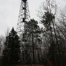
The area holds more virgin forest than any other region in Wisconsin, making it a rare example of old-growth woodland that has largely escaped logging. These vast timberlands carry both ecological and economic value for the county.
The community of curious travelers
AroundUs brings together thousands of curated places, local tips, and hidden gems, enriched daily by 60,000 contributors worldwide.