Enable Location

We need your location to show you interesting places around you

Discover nearby places

Find interesting locations and hidden gems around you

Precise directions

Get accurate directions and distances to places

Your location is never shared with other users. It's only used when you tap the location button.

Hopkins County

Log in to your account

Start exploring — it's free

Trusted by 61,688 travelers worldwide

Continue with Google
Continue with Apple
or

We will send you a code to connect

By continuing, you accept our Terms and Conditions and our Privacy Policy

Check your inbox

We've sent a pincode in your inbox. Please enter the code below.

Hopkins County, County administrative division in Western Kentucky, United States

Description

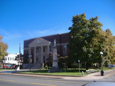
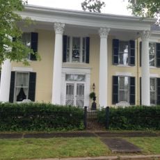
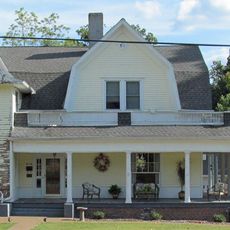
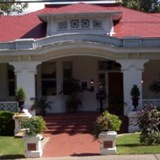
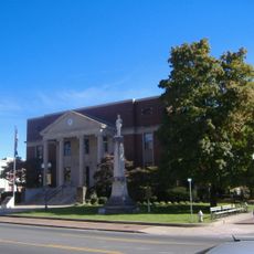
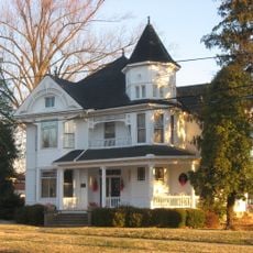
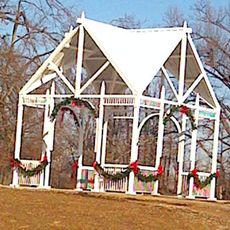
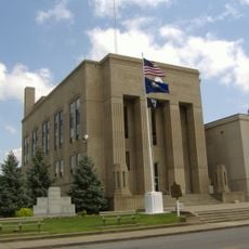
Hopkins County is an administrative division in Western Kentucky that combines flat areas near river valleys with rolling hills in the southern regions. Madisonville serves as the main center for government and commerce in this area.

History

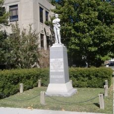
The area was established in 1806 and named after General Samuel Hopkins, a Revolutionary War officer who later served as a state legislator. This founding marked the start of organized settlement in the region.

Culture

The region has developed as an agricultural center over generations, where farmers grow corn, soybeans, and other crops across the land. These farming traditions continue to shape how the landscape looks and how people in smaller communities organize their lives.

Practical

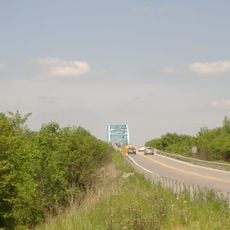
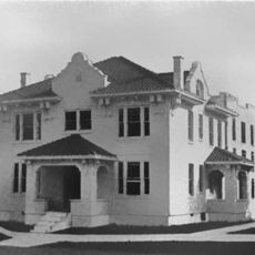
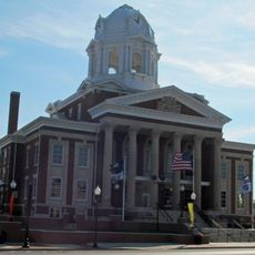
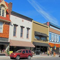
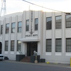
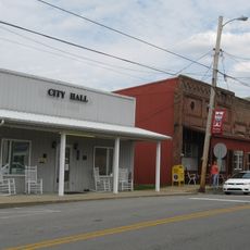
Visitors find services and shops in Madisonville, which functions as a transportation hub and administrative center. The varied terrain means that travel routes and times differ between flat and hilly areas.

Did you know?

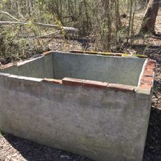
The area was once a major coal mining region that contributed significantly to the state's energy supply by the late 1900s. This industrial phase permanently changed the landscape and local infrastructure.

Location
Inception
December 9, 1806
Capital city
Madisonville
Shares border with
Webster County, McLean County, Muhlenberg County, Christian County, Caldwell County
GPS coordinates
37.31000,-87.54000
Latest update
December 7, 2025 19:25

AroundUs brings together thousands of curated places, local tips, and hidden gems, enriched daily by 60,000 contributors worldwide. Discover all places nearby (Kentucky).

Around this place
Adsmore
United States of America

Adsmore

37.5 km
Livermore Bridge
United States of America

Livermore Bridge

40.8 km
University of Kentucky Research and Education Center Botanical Garden
United States of America

University of Kentucky Research and Education Center Botanical Garden

36.7 km
Old Muhlenberg County Jail
United States of America

Old Muhlenberg County Jail

34.3 km
Confederate Soldier Monument in Caldwell
United States of America

Confederate Soldier Monument in Caldwell

37.7 km
Muhlenberg County Courthouse
United States of America

Muhlenberg County Courthouse

34.3 km
North Main Street Historic District (Greenville, Kentucky)
United States of America

North Main Street Historic District (Greenville, Kentucky)

34.1 km
Brizendine Brothers Nature Park
United States of America

Brizendine Brothers Nature Park

34.7 km
Robert Thomas House
United States of America

Robert Thomas House

37.4 km
South Cherry Street Historic District (Greenville, Kentucky)
United States of America

South Cherry Street Historic District (Greenville, Kentucky)

34.1 km
Madisonville Commercial Historic District
United States of America

Madisonville Commercial Historic District

4.2 km
McMullin-Warren House
United States of America

McMullin-Warren House

33.1 km
George Short House
United States of America

George Short House

34.1 km
United States of America

Zion Brick Missionary Church

21.7 km
Beulah Lodge
United States of America

Beulah Lodge

14 km
Greenville City Hall
United States of America

Greenville City Hall

34.4 km
Martin House
United States of America

Martin House

34.5 km
Hanson Historic District
United States of America

Hanson Historic District

13 km
Greenville Commercial Historic District (Greenville, Kentucky)
United States of America

Greenville Commercial Historic District (Greenville, Kentucky)

34.2 km
Beckley Jackson House
United States of America

Beckley Jackson House

15 km
Webster County Courthouse
United States of America

Webster County Courthouse

26.6 km
L.B. Overby House
United States of America

L.B. Overby House

38.1 km
The Darby House
United States of America

The Darby House

21 km
Providence Commercial Historic District
United States of America

Providence Commercial Historic District

22 km
W.W. Kington House
United States of America

W.W. Kington House

9.8 km
Griffith-Franklin House
United States of America

Griffith-Franklin House

35.3 km
Capitol Cinemas
United States of America

Capitol Cinemas

37.8 km
Cranor School
United States of America

Cranor School

20.5 km
Show the full map
« Hopkins County - County administrative division in Western Kentucky, United States » is provided by Around Us (aroundus.com). Images and texts are derived from Wikimedia project under a Creative Commons license. You are allowed to copy, distribute, and modify copies of this page, under the conditions set by the license, as long as this note is clearly visible.

Discover hidden gems everywhere you go!

From secret cafés to breathtaking viewpoints, skip the crowded tourist spots and find places that match your style. Our app makes it easy with voice search, smart filtering, route optimization, and insider tips from travelers worldwide. Download now for the complete mobile experience.

Around Us App Screenshot

A unique approach to discovering new places

Le Figaro

All the places worth exploring

France Info

A tailor-made excursion in just a few clicks

20 Minutes

Around Us
Travel Guide & Maps
Download

Send to your phone

QR Code
1

Open the camera app on your mobile.

2

Point at the QR code with your camera. A notification will appear.

3

Tap the notification to open the link.