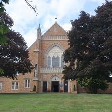
Summit, Suburban city in Union County, New Jersey.
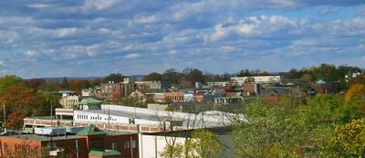
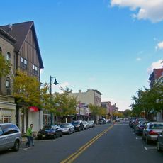
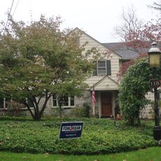
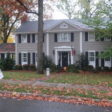
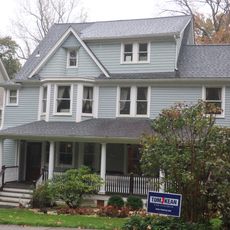
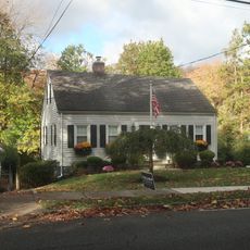
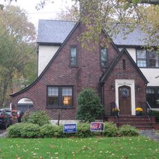
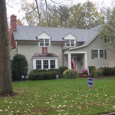
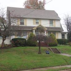
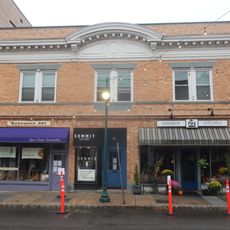
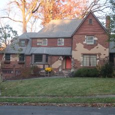
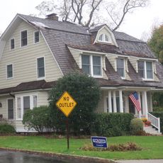
Summit is a city in Union County in the state of New Jersey, covering an area with residential neighborhoods, shopping streets, and several small parks. The town sits around 19 miles (30 km) west of Manhattan and connects to the New York metropolitan area through commuter trains.
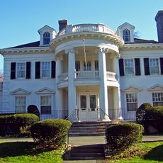
The first settlers arrived in the area during the early 18th century and established a farming community that later grew with the construction of the railroad. By the late 19th century the town received city status and developed into a commuter suburb for New York.
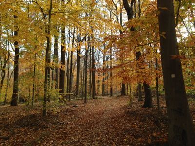
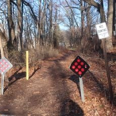
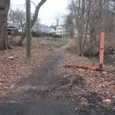
The name Summit refers to the town's location at the highest point of the Morris and Essex railroad line, a geographic feature visible today in the gentle hills across the residential areas. Many streets lead to small parks and green spaces used by families for walks and neighborhood gatherings throughout the week.
The town is served by a train station on the New Jersey Transit network, with regular connections to Newark and New York. Most residential streets and shops lie within walking distance of the station, making it easy to explore the area on foot.
The town sits at the highest point of the historic railroad line, which meant that travelers once noticed trains slowing down here before rolling downhill toward the coast. This geographic fact gave the place its name and still shapes the hilly layout of streets and properties today.
Location: Union County
Inception: 1710
Elevation above the sea: 114 m
Shares border with: Chatham Borough, Springfield Township, Mountainside, Millburn, Berkeley Heights, New Providence, Chatham Township
Website: https://cityofsummit.org
GPS coordinates: 40.71560,-74.36470
Latest update: December 12, 2025 22:53
Watchung Reservation
3.3 km
Reeves-Reed Arboretum
1.9 km
Summit Playhouse
84 m
Twin Maples
1.3 kmSummit Free Public Library
374 m
Summit Downtown Historic District
83 m
118 Prospect St, Summit, NJ
637 m
Congregation Beth Hatikvah
2.1 km
Dominican Monastery of Our Lady of the Rosary
165 mSummit Historical Society
1.7 kmBeacon Hill 5
735 m
29 Druid Hill Road, Smmit, NJ
1.4 km
24 Oak Ridge Ave, Summit, NJ
1.1 km
49 Baltusrol Road, Summit, NJ
1.4 km
34 Laurel Avenue, Summi, NJ
927 m
41 Sweetbriar Road, Summit, NJ
1.8 km
599 Springfield Avenue, Summit, NJ
349 m
Record Building
512 m
25 Madison Ave, Summit, NJ
1.2 km
11 Blackburn Rd, Summit, NJ
301 m
17 Stiles Road, Summit, NJ
1.3 km
6 Karen Way, Summit, NJ
1.8 kmFootpath between Edgar Street and the high school
673 mFootpath from Glenside to Oakridge
1.4 km
Sylvan Lane Footpath
2.4 km
18 Middle Ave, Summit, NJ
2.5 kmFootpath between Montrose Avenue and the high school
900 m
Footpath from Colonial to West End
947 mVisited this place? Tap the stars to rate it and share your experience / photos with the community! Try now! You can cancel it anytime.
Discover hidden gems everywhere you go!
From secret cafés to breathtaking viewpoints, skip the crowded tourist spots and find places that match your style. Our app makes it easy with voice search, smart filtering, route optimization, and insider tips from travelers worldwide. Download now for the complete mobile experience.
A unique approach to discovering new places❞
— Le Figaro
All the places worth exploring❞
— France Info
A tailor-made excursion in just a few clicks❞
— 20 Minutes