Enable Location

We need your location to show you interesting places around you

Discover nearby places

Find interesting locations and hidden gems around you

Precise directions

Get accurate directions and distances to places

Your location is never shared with other users. It's only used when you tap the location button.

Strausstown

Log in to your account

Start exploring — it's free

Trusted by 62,371 travelers worldwide

Continue with Google
Continue with Apple
or

We will send you a code to connect

By continuing, you accept our Terms and Conditions and our Privacy Policy

Check your inbox

We've sent a pincode in your inbox. Please enter the code below.

Strausstown

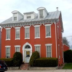
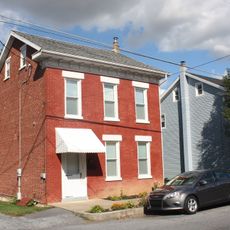
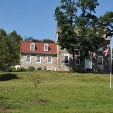
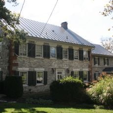
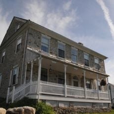
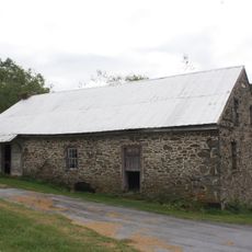
Strausstown, Village in Upper Tulpehocken Township, Pennsylvania, United States.

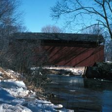
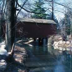
Strausstown is a small village in Upper Tulpehocken Township in Berks County, Pennsylvania, situated at the source of tributaries flowing toward Northkill Creek. The settlement has local dining options including C & C Pizza and J & S Pizza II.

John Strauss founded this settlement in 1840, and it operated as an independent borough for many years before merging with Upper Tulpehocken Township in 2016. This consolidation ended its separate governance.

The local Lions Club runs an annual Antique Auto Show and Flea Market that draws collectors and enthusiasts from surrounding areas. These gatherings shape the rhythm of community life throughout the year.

The place is small and easy to explore on foot, with local dining options within walking distance. Its location near tributaries means the surrounding area can be wetter during rainy periods.

The Rod and Gun Club here hosts regular trap shooting competitions, keeping alive a longstanding tradition of recreational shooting sports. The facility draws enthusiasts who want to sharpen their skills.

The community of curious travelers

AroundUs brings together thousands of curated places, local tips, and hidden gems, enriched daily by 60,000 contributors worldwide.

Start exploring
Location
Upper Tulpehocken Township
GPS coordinates
40.49096,-76.18503
Latest update
December 12, 2025 07:56
Around this place
Roadside America
United States of America

Roadside America

5.9 km
United States of America

Koziar's Christmas Village

9 km
Conrad Weiser Homestead
United States of America

Conrad Weiser Homestead

14.7 km
Weiser State Forest
United States of America

Weiser State Forest

15.5 km
Heinrich Zeller House
United States of America

Heinrich Zeller House

16.2 km
Isaac Meier Homestead
United States of America

Isaac Meier Homestead

17 km
Pine Grove Historic District
United States of America

Pine Grove Historic District

18 km
S Bridge
United States of America

S Bridge

13.4 km
Robesonia Furnace Historic District
United States of America

Robesonia Furnace Historic District

16.9 km
Tulpehocken Creek Historic District
United States of America

Tulpehocken Creek Historic District

11.6 km
Belleman's Union Church
United States of America

Belleman's Union Church

13.5 km
Schuylkill Gap
United States of America

Schuylkill Gap

16.7 km
Dauberville Bridge
United States of America

Dauberville Bridge

18 km
Jacob Leiby Farm
United States of America

Jacob Leiby Farm

12.3 km
Womelsdorf Historic District
United States of America

Womelsdorf Historic District

14.2 km
Stouchsburg Historic District
United States of America

Stouchsburg Historic District

14.2 km
John Nicholas and Elizabeth Moyer House
United States of America

John Nicholas and Elizabeth Moyer House

7.4 km
Peter Spicker House
United States of America

Peter Spicker House

13 km
Schuylkill County Bridge No. 113
United States of America

Schuylkill County Bridge No. 113

11.1 km
Schuylkill County Bridge No. 114
United States of America

Schuylkill County Bridge No. 114

13.3 km
Seyfert Mill
United States of America

Seyfert Mill

5.4 km
Spannuth Mill
United States of America

Spannuth Mill

15.2 km
John Immel House
United States of America

John Immel House

15.5 km
Stupp-Oxenrider Farm
United States of America

Stupp-Oxenrider Farm

12.3 km
Hain Mill
United States of America

Hain Mill

17.5 km
Old Dry Road
United States of America

Old Dry Road

16.9 km
Kissling Farm
United States of America

Kissling Farm

15.5 km
Kauffman Mill
United States of America

Kauffman Mill

11 km
Show the full map
« Strausstown - Village in Upper Tulpehocken Township, Pennsylvania, United States » is provided by Around Us (aroundus.com). Images and texts are derived from Wikimedia project under a Creative Commons license. You are allowed to copy, distribute, and modify copies of this page, under the conditions set by the license, as long as this note is clearly visible.

Discover hidden gems everywhere you go!

From secret cafés to breathtaking viewpoints, skip the crowded tourist spots and find places that match your style. Our app makes it easy with voice search, smart filtering, route optimization, and insider tips from travelers worldwide. Download now for the complete mobile experience.

Around Us App Screenshot

A unique approach to discovering new places

Le Figaro

All the places worth exploring

France Info

A tailor-made excursion in just a few clicks

20 Minutes

Around Us
Travel Guide & Maps
Download

Send to your phone

QR Code
1

Open the camera app on your mobile.

2

Point at the QR code with your camera. A notification will appear.

3

Tap the notification to open the link.