
Sharon, human settlement in York County, South Carolina, United States of America
Location: York County
Elevation above the sea: 199 m
GPS coordinates: 34.95167,-81.33944
Latest update: May 19, 2025 13:19
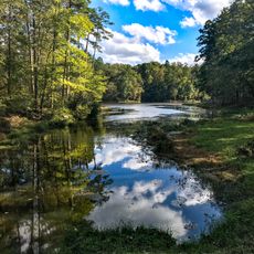
Kings Mountain State Park
19.9 km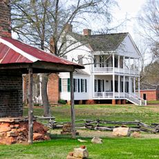
Brattonsville Historic District
17.5 km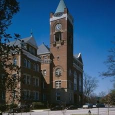
Tillman Hall
28.3 km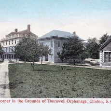
Thornwell Orphanage (Clinton)
17.3 km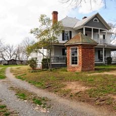
Allison Plantation
6.5 km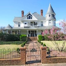
Anderson House
28.7 km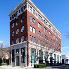
Rock Hill Downtown Historic District
28.8 km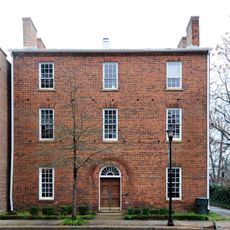
Wilson House
10 km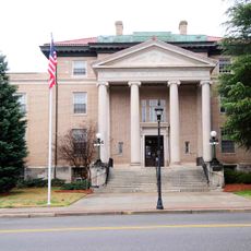
York County Courthouse
10 km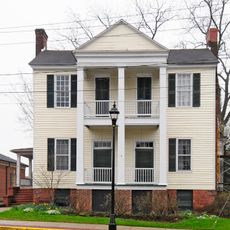
Witherspoon-Hunter House
10.1 km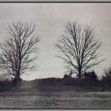
McCollum Mound
23.6 km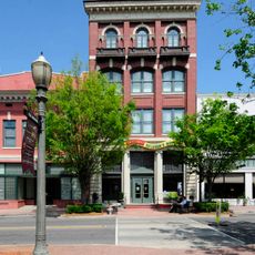
People's National Bank Building
28.7 km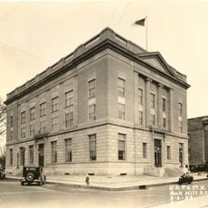
U.S. Post Office and Courthouse
28.8 km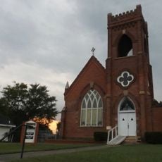
Hermon Presbyterian Church
28 km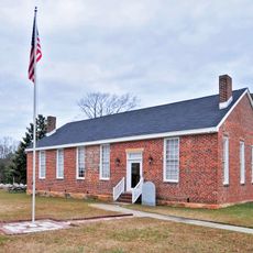
Ebenezer Academy
26.3 km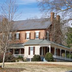
William J. Wilson House
26 km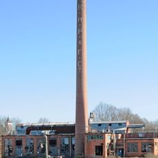
Bleachery Water Treatment Plant
28.2 km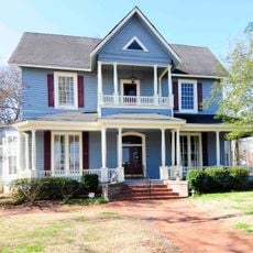
Marion Street Area Historic District
28.6 km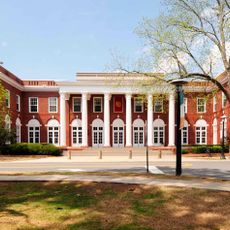
Winthrop College Historic District
28.3 km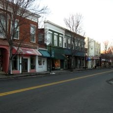
York Historic District
11.5 km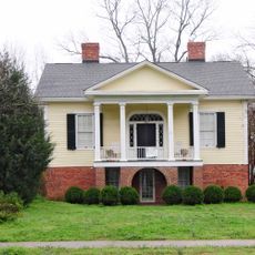
Hart House
10.4 km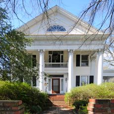
Stokes-Mayfield House
28.5 km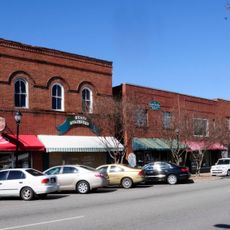
Clover Downtown Historic District
20.6 km
McCorkle-Fewell-Long House
28.6 km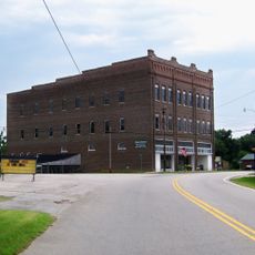
Hill Complex Historic District
267 m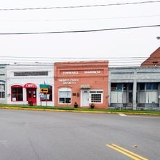
Sharon Downtown Historic District
206 m
People's Free Library of South Carolina
18.7 km
Charlotte Avenue-Aiken Avenue Historic District
28.8 kmVisited this place? Tap the stars to rate it and share your experience / photos with the community! Try now! You can cancel it anytime.
Discover hidden gems everywhere you go!
From secret cafés to breathtaking viewpoints, skip the crowded tourist spots and find places that match your style. Our app makes it easy with voice search, smart filtering, route optimization, and insider tips from travelers worldwide. Download now for the complete mobile experience.

A unique approach to discovering new places❞
— Le Figaro
All the places worth exploring❞
— France Info
A tailor-made excursion in just a few clicks❞
— 20 Minutes