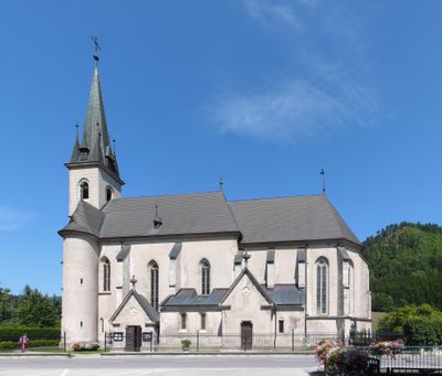
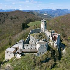
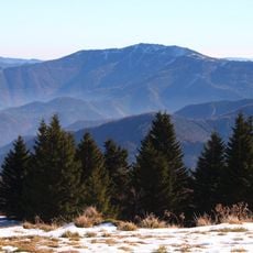
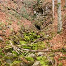
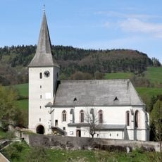
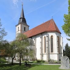
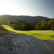
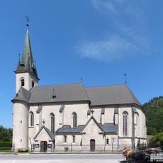
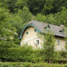
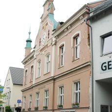
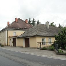
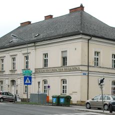
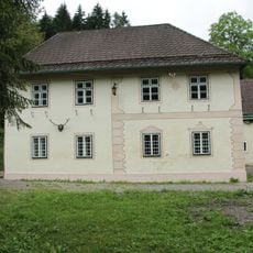
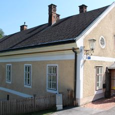
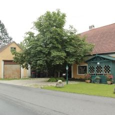
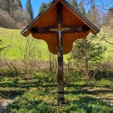
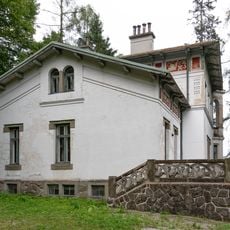
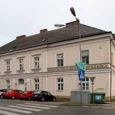
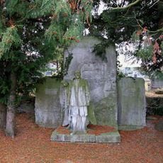
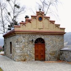
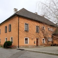
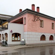
Ramsau, municipality in Lilienfeld District, Lower Austria, Austria
Location: Lilienfeld District
Elevation above the sea: 470 m
Shares border with: Hainfeld, Kaumberg, Furth an der Triesting, Muggendorf, Rohr im Gebirge, Kleinzell
Email: gemeinde@ramsau.gv.at
Website: http://ramsau.gv.at
GPS coordinates: 48.00296,15.80301
Latest update: March 7, 2025 11:48
Burgruine Araburg
4.9 km
Unterberg
7.3 km
Conrad Observatory
9.4 km
Miralucke
8.4 km
Pfarrkirche Kaumberg
7.4 km
Pfarrkirche Kleinzell
5.6 km
Burgstall Hainfeld
4.3 km
Kirche Hainfeld
4.3 km
Golfclub Adamstal
4.1 km
Pfarrkirche Ramsau, Lower Austria
238 m
Statue of John of Nepomuk, Hainfeld
4 km
Gut Frauental in Kleinzell
4.5 km
Rathaus Hainfeld
4.2 km
Pfarrhof Ramsau, Lower Austria
173 m
Bierkrugmuseum
4 km
Jagdhaus in Ramsau, Lower Austria
4.4 km
Pfarrhof, Kaumberg
7.4 km
Schmiede in Ramsau, Lower Austria
188 m
Pestkreuz Hainfeld
4.5 km
Städtisches Freibad
4.1 km
Mausoleum Hartmann
4.4 km
Villa Rentmeister
4 km
Amtsgebäude
4 km
Grabdenkmal Girtschall
4.4 km
Aufbahrungshalle
4.5 km
Pfarrhof
4.4 km
Brauhaus
4 km
Skulpturenpark Gottfried Höllwarth
4 kmReviews
Visited this place? Tap the stars to rate it and share your experience / photos with the community! Try now! You can cancel it anytime.
Discover hidden gems everywhere you go!
From secret cafés to breathtaking viewpoints, skip the crowded tourist spots and find places that match your style. Our app makes it easy with voice search, smart filtering, route optimization, and insider tips from travelers worldwide. Download now for the complete mobile experience.
A unique approach to discovering new places❞
— Le Figaro
All the places worth exploring❞
— France Info
A tailor-made excursion in just a few clicks❞
— 20 Minutes