
Sankt Radegund, municipality in Braunau District, Upper Austria, Austria
Location: Braunau District
Elevation above the sea: 480 m
Shares border with: Burgkirchen an der Alz, Burghausen, Hochburg-Ach, Tarsdorf, Ostermiething, Tittmoning
Email: gemeinde@st-radegund.ooe.gv.at
Website: http://st-radegund.at
GPS coordinates: 48.09667,12.76194
Latest update: March 9, 2025 06:16
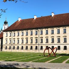
Raitenhaslach Cistercian Abbey
4 km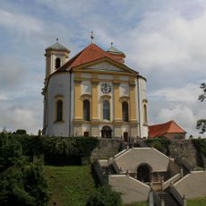
Marienberg
5.5 km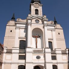
Ehemalige Zisterzienserabteikirche Mariä Himmelfahrt, Pfarrkirche St. Georg
4.1 km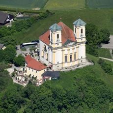
Wallfahrtskirche St. Maria Himmelfahrt
5.5 km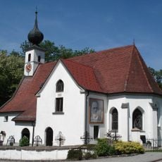
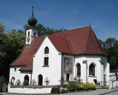
Saint Radegund Church (St. Radegund, Upper Austria)
75 m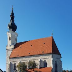
Mariä Himmelfahrt
2.8 km
Trutzhof
5.4 km
Wasserkraftwerk Marienberg
5.5 km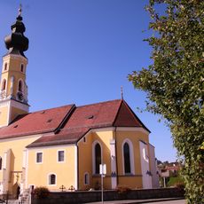
Saint Michael Church
5.1 km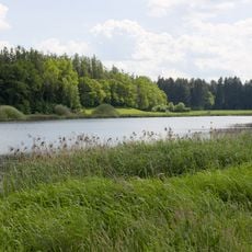
Endmoränenweiher südlich Asten
2.8 km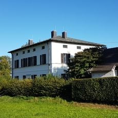
Pfarrhaus Asten
2.7 km
Ettenau
2.5 km
Ettenau II
592 m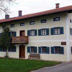
Franz-Jägerstätter-Museum St. Radegund
858 m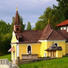
Marienkapelle
5.2 km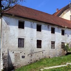
Süd- und Westflügel der ehemaligen Klosterökonomie
3.9 km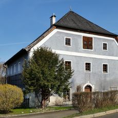
Wasservorstadt 26
3.6 km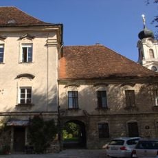
Sogenanntes „Abteistöckl“
4 km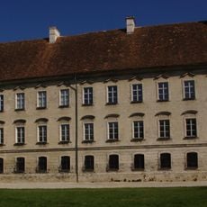
Ehemaliger Prälatenstock, sogenannter „Großer Abteistock“
4 km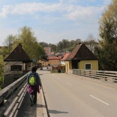
Salzachbrücke Tittmoning-Ettenau
3.4 km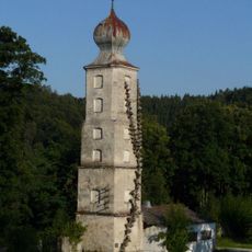
Wasserturm Raitenhaslach
4.2 km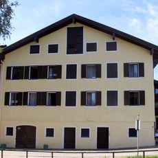
Wasservorstadt 22
3.6 km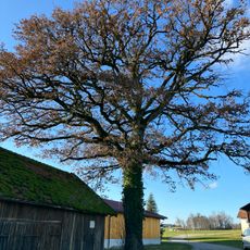
Stieleiche in Schmidham
3.4 km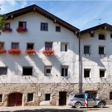
Wohnhaus
3.7 km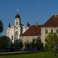
Südflügel des ehemaligen Konventbaus, mit Teilen des ehemaligen Klosterkreuzgangs, jetzt Grundschule
4 km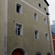
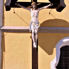
Friedhofskreuz Tarsdorf
5.1 km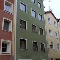
Visited this place? Tap the stars to rate it and share your experience / photos with the community! Try now! You can cancel it anytime.
Discover hidden gems everywhere you go!
From secret cafés to breathtaking viewpoints, skip the crowded tourist spots and find places that match your style. Our app makes it easy with voice search, smart filtering, route optimization, and insider tips from travelers worldwide. Download now for the complete mobile experience.

A unique approach to discovering new places❞
— Le Figaro
All the places worth exploring❞
— France Info
A tailor-made excursion in just a few clicks❞
— 20 Minutes