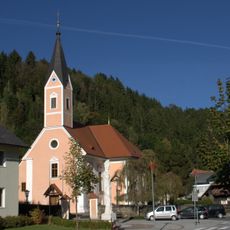
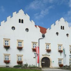
Vorau, Administrative division in Styria, Austria
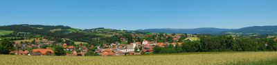
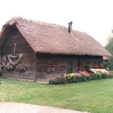
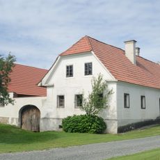
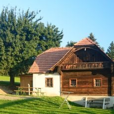
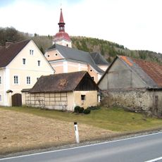
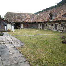
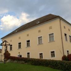
Vorau is an administrative district in Styria that sits within a hilly landscape dotted with forests and agricultural land. The area encompasses several small settlements and villages connected by rural roads winding through green countryside.
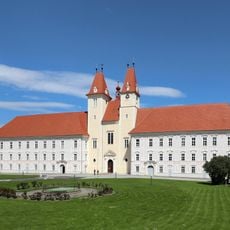
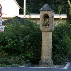
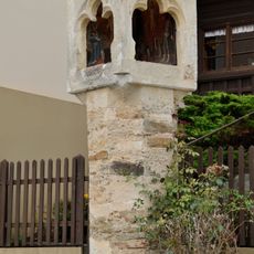
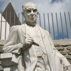
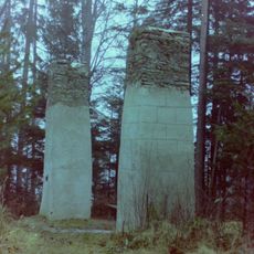
The district has roots in medieval settlement patterns when local nobility governed the territory through feudal arrangements. The modern administrative framework emerged during 19th-century reforms that reshaped how Austria organized its regional governance.
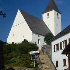
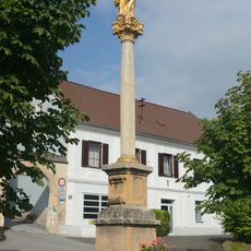
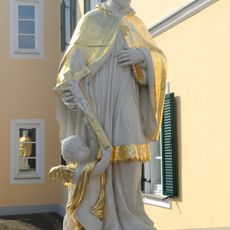
The location serves as a gathering point for the surrounding region, where residents engage in outdoor activities and seasonal local celebrations. This district functions as the heart of community life for many who live in the surrounding countryside.
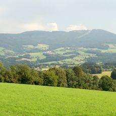
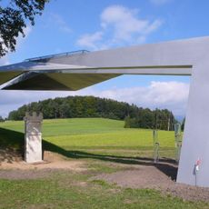
The area is accessible for hiking and outdoor exploration, with marked trails that wind through forests and across fields. Spring through autumn offers the most comfortable weather for spending time in this rural landscape.
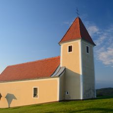
The area sits within a region famous for natural springs and wellness traditions that have drawn visitors seeking health and relaxation for generations. The name itself refers to this heritage of natural healing practices that remain part of local identity.
The community of curious travelers
AroundUs brings together thousands of curated places, local tips, and hidden gems, enriched daily by 60,000 contributors worldwide.