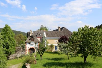
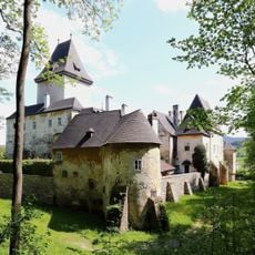
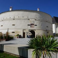
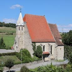
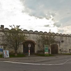
Burgruine Mollenburg, Castle ruin in Weiten, Austria.
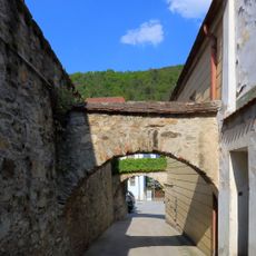
Burgruine Mollenburg is a medieval fortress set on a ridge about 40 meters high with steep slopes on three sides, spreading across roughly 120 by 60 meters of ground. A square main building forms the core of the complex, and its remains along with other structures make up what you see at the ruins today.
The site first appeared in written records in 1303 and belonged to the Lords of Werd-Capellen during the Middle Ages, who used it as a military stronghold. Over the 13th and 14th centuries, fighting from various conflicts, including a nobility uprising against Duke Albrecht I, caused damage and destruction to the fortress.
The ruins display layers of building styles from different periods that grew over time. You can see Romanesque walls, Gothic window shapes, and Renaissance details that show how long the place was used and changed.
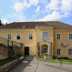
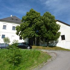
The ruins are privately owned by the Mauthe family and can only be visited with prior permission. You should contact the owners before exploring the site since the grounds are not open to the public without arrangement.
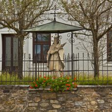
Resting inside the tower of the old castle is an urn holding the remains of Jorg Mauthe, who bought and partly restored the ruins in 1972. His placement there honors the family who cared for and maintained the site over many years.
The community of curious travelers
AroundUs brings together thousands of curated places, local tips, and hidden gems, enriched daily by 60,000 contributors worldwide.