
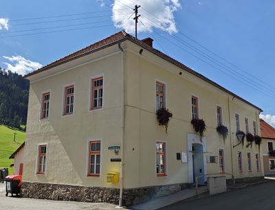
Pusterwald, municipality in Murtal District, Styria, Austria
Location: Murtal District
Elevation above the sea: 1,072 m
Website: http://www.pusterwald.steiermark.at/
Email: gemeinde@pusterwald.at
Website: http://pusterwald.steiermark.at
GPS coordinates: 47.30861,14.37500
Latest update: March 24, 2025 04:15
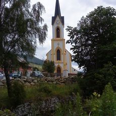
Pfarrkirche hl. Johannes, Sankt Johann am Tauern
8.9 km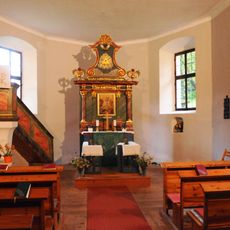
Glaubenskirche (St. Johann am Tauern)
10.8 km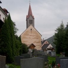
Pfarrkirche Bretstein
4.3 km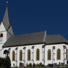
Saint Oswald Church
10.6 km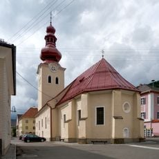
Pfarrkirche St. Nikolaus, Oberzeiring
10.6 km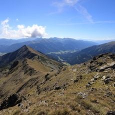
Bruderkogel
9.5 km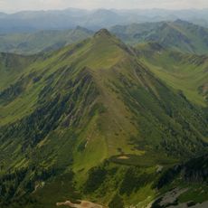
Zinkenkogel
12.4 km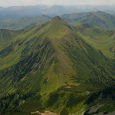
Perwurzgupf
12.9 km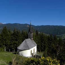
Schneebergkapelle Möderbrugg
8 km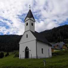
Kalvarienbergkapelle
7.7 km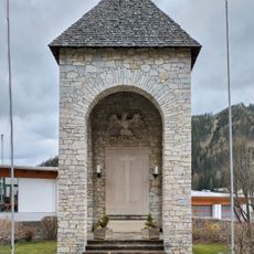
War memorial Oberzeiring
10.6 km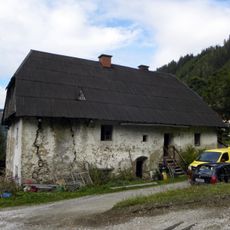
Oberer Lerchbauer, Sankt Johann am Tauern
9.4 km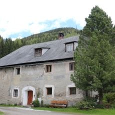
Bauernhaus Schellhube
10.9 km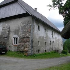
Pölsenhube, Sankt Johann am Tauern
12.7 km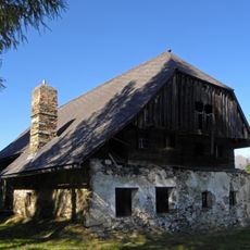
Schneebergerhof Möderbrugg
7.9 km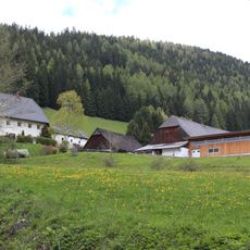
Ehem. Salzspeicher der Bauernhofanlage Schaffer
8.1 km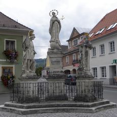
Pestsäule Oberzeiring
10.6 km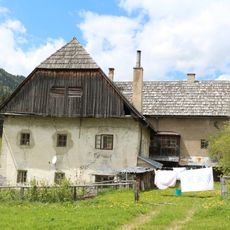
Bauernhaus Koiner
8.5 km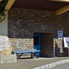
Schaubergwerk Museum Oberzeiring
10.5 km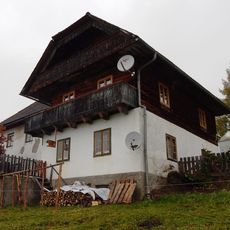
Bauernhof Hafner, Salchau
10.6 km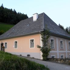
Pfarrhof
10.6 km
Mayer-Haus, Oberzeiring
10.5 km
Postgebäude, sog. Bäckerhaus, ehem Gerichtsgebäude
10.6 km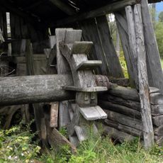
Mühle Sankt Johann am Tauern
7.7 km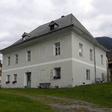
Pfarrhof
9 km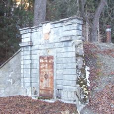
Wasserreservoir
12.8 km
Jägerkreuz
8.8 km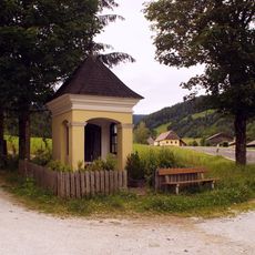
Bildstock am Palsweg
9.6 kmReviews
Visited this place? Tap the stars to rate it and share your experience / photos with the community! Try now! You can cancel it anytime.
Discover hidden gems everywhere you go!
From secret cafés to breathtaking viewpoints, skip the crowded tourist spots and find places that match your style. Our app makes it easy with voice search, smart filtering, route optimization, and insider tips from travelers worldwide. Download now for the complete mobile experience.

A unique approach to discovering new places❞
— Le Figaro
All the places worth exploring❞
— France Info
A tailor-made excursion in just a few clicks❞
— 20 Minutes