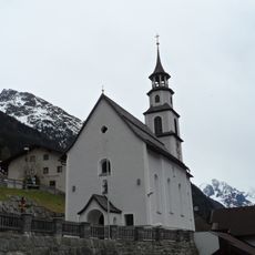
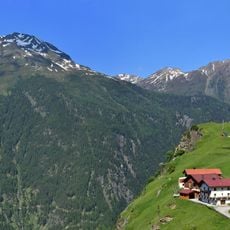
Erlanger Hütte, Mountain refuge at 2541 meters, Ötztal Alps, Austria.
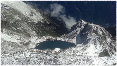
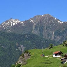
The Erlanger Hütte is a mountain refuge at 2541 meters elevation in the Ötztal Alps, providing shelter and meals for hikers crossing the region. The building sits in an Alpine environment surrounded by lakes and rocky terrain that forms the landscape visitors encounter during their trek.
The structure was built in 1929 by the Erlangen section of the German Alpine Club and has retained its original construction over the decades. The hut later gained heritage protection status, recognizing its historical value in the region.
The hut serves as a gathering place where hikers share meals prepared with regional Tyrolean ingredients sourced from the Ötztal valley below. This dining tradition reflects how mountain communities have sustained themselves through local food and hospitality.
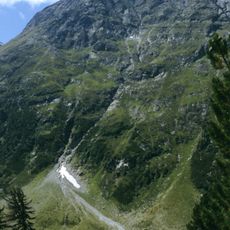
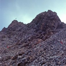
Access is via a hiking trail approximately 8.7 kilometers long from Umhausen with a total elevation gain of 1558 meters. The route passes through varied terrain including forests and rocky sections, so sturdy footwear and good physical condition are recommended.
The refuge received environmental certification in 2000 for implementing sustainable practices at high altitude. This recognition shows how mountain accommodations can conserve resources while operating in one of Europe's most challenging environments.
The community of curious travelers
AroundUs brings together thousands of curated places, local tips, and hidden gems, enriched daily by 60,000 contributors worldwide.