East Styrian Hills, Hill group in Styria, Austria.
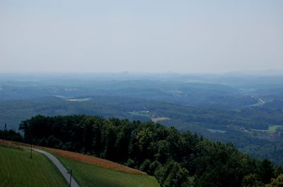
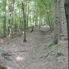
The East Styrian Hills form a terrain with gentle ridges and elongated slopes in southeastern Styria. The Mur river runs along the western and southern edges, while the Lafnitz marks the boundary to the east.
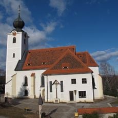
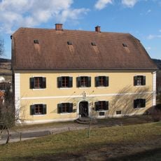
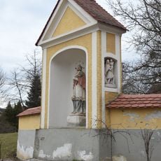
These hills became part of the county of Graz during the 18th century and formed part of historical Lower Styria. This integration shaped administrative and economic development in the area.
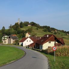
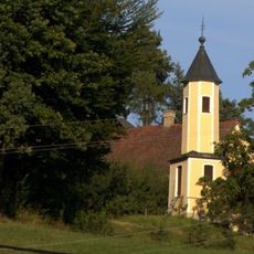
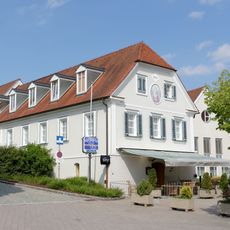
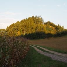
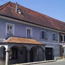
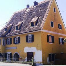
Farming shapes how people live and work across these rolling lands, with fields and villages scattered throughout the terrain. Local agriculture remains central to daily life and the way communities are organized.
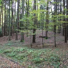
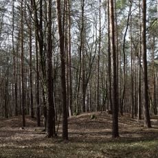
These hills are accessible for walking and exploring at a relaxed pace across open terrain. The gentle slopes make movement easy without demanding high levels of fitness.
The Raab and Feistritz rivers flow through the hills creating a network of valleys that drain mostly southward and southeastward. This river system has shaped the landscape over time and continues to influence water flow patterns.
The community of curious travelers
AroundUs brings together thousands of curated places, local tips, and hidden gems, enriched daily by 60,000 contributors worldwide.