Marchfeldkanal, Canal system in Floridsdorf district, Vienna, Austria.
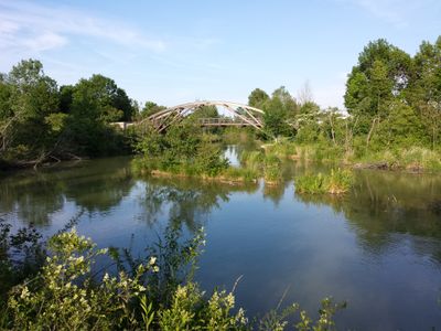
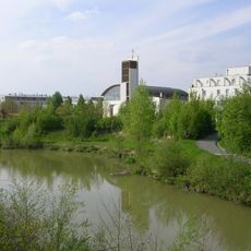
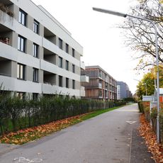
The Marchfeldkanal is an artificial waterway that stretches through fields and villages east of Vienna and brings water from the Danube into the drier area. The system was created to secure irrigation for agricultural land in this region and consists of straight canal segments with accompanying pathways.
Early ideas about water management in this area date back to the middle of the 19th century, but the modern canal was only built in the 1980s. This construction was the result of recognizing that wetter western areas needed to transport water to the drier eastern districts.
The canal is an important part of the landscape east of Vienna and is used by locals for walks and cycling trips. Its course shapes the appearance of the flat fields and provides a refreshing green corridor in an otherwise agricultural region.
The best way to experience it is by bicycle, as there are paths along the canal where you can ride comfortably. There are several access points from the railway stations where you can quickly reach different parts of the canal.
The canal has special areas where water collects and freezes during cold weather, becoming a surprising ice skating spot in winter. This unexpected use shows how the local population creatively uses the infrastructure.
The community of curious travelers
AroundUs brings together thousands of curated places, local tips, and hidden gems, enriched daily by 60,000 contributors worldwide.