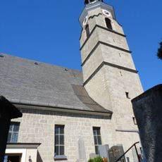
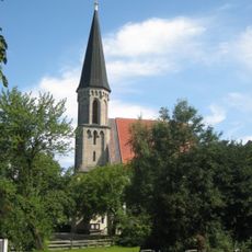
Irrsberg, Mountain summit in Oberhofen am Irrsee, Austria.
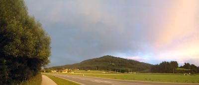
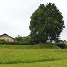
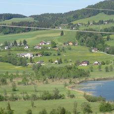
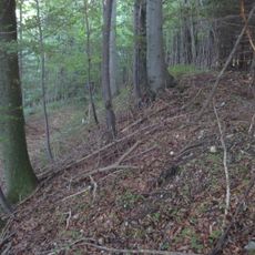
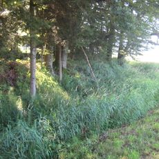
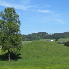
Irrsberg is a mountain summit near Oberhofen am Irrsee that rises to 841 meters above sea level and is characterized by a combination of Alpine pastures, forests, and open meadows. Multiple hiking paths traverse the terrain, linking wooded sections with pastoral areas that define the landscape.
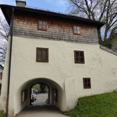
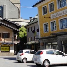
The mountain formed as part of the region's geological structure and has served since medieval times as a passage route for communities moving goods between neighboring valleys. These early pathways facilitated trade and supply connections among scattered settlements.
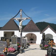
The summit and its slopes are shaped by centuries of Alpine farming, with mountain pastures and traditional land management still visible across the slopes. Walking through this landscape reveals how local communities have adapted their daily practices to the terrain and seasons.
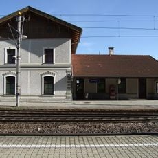
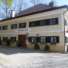
The mountain is accessible by foot via several marked hiking routes, with the Ferienhof Grossenbauer near Höhenroith serving as a common starting point. The paths are well-marked but require sturdy footwear and readiness for changing mountain conditions.
The summit serves as a natural vantage point for observing migratory birds passing through the Alps during spring and autumn. This biological role makes it a destination for birdwatchers and nature observers seeking seasonal wildlife activity.
The community of curious travelers
AroundUs brings together thousands of curated places, local tips, and hidden gems, enriched daily by 60,000 contributors worldwide.