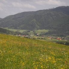
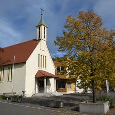
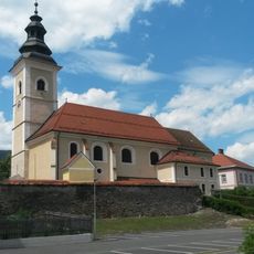
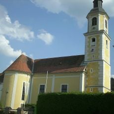
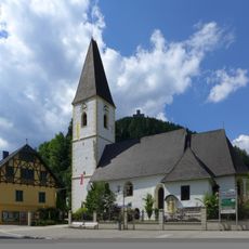
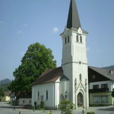
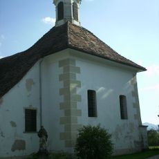
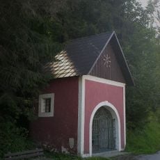
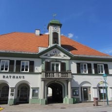
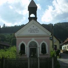
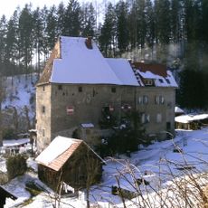
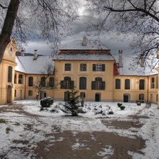
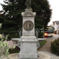
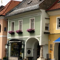
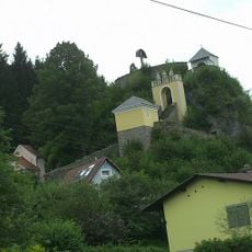
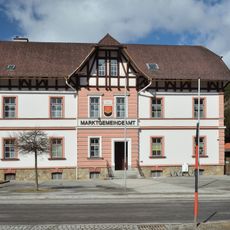
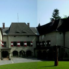
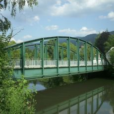
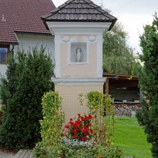
Sankt Barbara im Mürztal, municipality in Bruck-Mürzzuschlag District, Styria, Austria
Location: Bruck-Mürzzuschlag District
Inception: 2015
Elevation above the sea: 587 m
Shares border with: Mariazell
Email: gerlinde.zottler@st-barbara.gv.at
Website: http://st-barbara.gv.at
GPS coordinates: 47.57944,15.49278
Latest update: March 4, 2025 03:32
Veitsch Mount of Olives Pilgrim Cross
428 m
Hohe Veitsch
10.1 km
Burgruine Lichtenegg, Wartberg im Mürztal
5.6 km
Krieglach forced labour camp
5.3 km
Troiseck
6.5 km
Auferstehungskirche
8.3 km
Pfarrkirche hll. Peter und Paul, Kindberg
8.9 km
Pfarrkirche hl. Erhard, Wartberg im Mürztal
6 km
Pfarrkirche hl. Veit, Veitsch
108 m
Saint John of Nepomuk Church
5.1 km
Filialkirche hl. Georg, Kindberg
9.8 km
Erhard-Kapelle, Wartberg im Mürztal
6 km
Burg-/Schlosskapelle hl. Anna
9 km
Flur-/Wegkapelle, Heissenberger-Kapelle (Schaffenberger-Kapelle)
360 m
Pfarrkirche hll. Peter und Paul, Kindberg - Kirchhof
8.9 km
Rathaus Kindberg
8.9 km
Flur-/Wegkapelle
7.5 km
Hart castle
10.5 km
Schloss Oberkindberg
9 km
Schmölzer-Brunnen
8.9 km
St. Nepomuk statue
9 km
Bürgerhaus Hauptstraße 74, Kindberg
9.1 km
Calvary Kindbergdörfl
9.9 km
Gemeindeamt Veitsch
234 m
Straßenbrücke, Wartberger Mürz-Brücke
5.9 km
Schloss Pichl, Mitterdorf
4.6 km
Straßenbrücke, Wartberger Mürz-Brücke
5.9 km
Bildstock, „Pestkreuz“
6.1 kmReviews
Visited this place? Tap the stars to rate it and share your experience / photos with the community! Try now! You can cancel it anytime.
Discover hidden gems everywhere you go!
From secret cafés to breathtaking viewpoints, skip the crowded tourist spots and find places that match your style. Our app makes it easy with voice search, smart filtering, route optimization, and insider tips from travelers worldwide. Download now for the complete mobile experience.
A unique approach to discovering new places❞
— Le Figaro
All the places worth exploring❞
— France Info
A tailor-made excursion in just a few clicks❞
— 20 Minutes