
Hohe Dirn, mountain in the Oberösterreichische Voralpen in Upper Austria
Location: Ternberg
Location: Losenstein
Elevation above the sea: 1,134 m
GPS coordinates: 47.91151,14.39509
Latest update: April 17, 2025 13:46
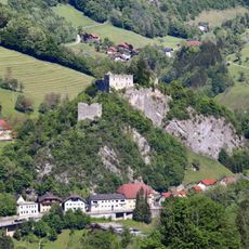
Burg Losenstein
3.4 km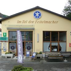
Museumsdorf Trattenbach
3.6 km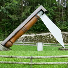
Weltrekord-Taschenfeitel
3.5 km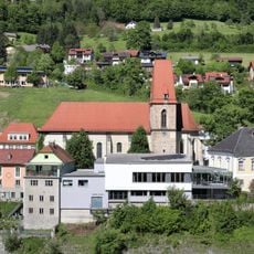
Pfarrkirche Losenstein
3.2 km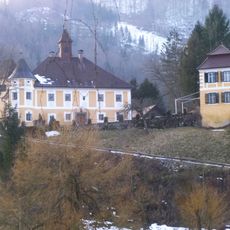
Schloss Hammeries
3.5 km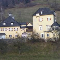
Schloss Voglsang
3.9 km
Museum in der Wegscheid
4 km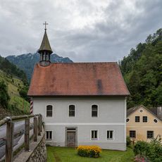
Filialkirche Trattenbach
4 km
Burgruine Losenstein
3.5 km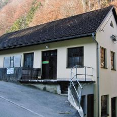
Feitelwerkstätte Löschenkohl
3.8 km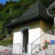
Blasibrunn-Kapelle
3 km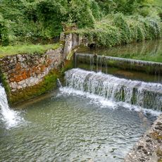
Trattenbach
3.5 km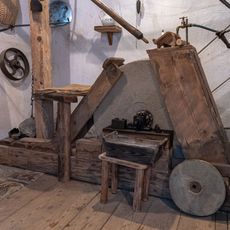
König-Schmiede
4 km
Rossbach
3 km
Pilsenfels
2.2 km
Große Linde in Losenstein
3.2 km
Trattenbachbrücke
3.5 km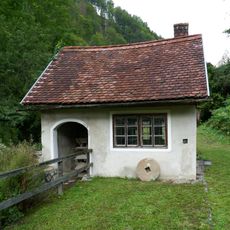
Mühle an der Wegscheid
4 km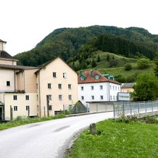
Wallnermühle
3.6 km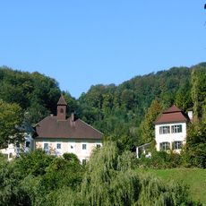
Schloss Hammerschmiedries
3.4 km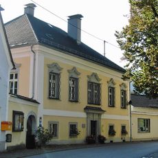
Pfarrhof
3.2 km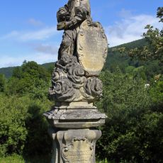
Statue of John of Nepomuk, Laussabrücke Losenstein
2.5 km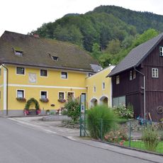
Haberleitnermühl
3.6 km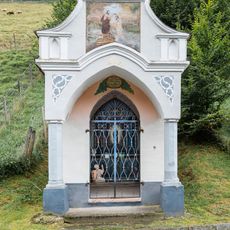
Könighaus Chapel
4 km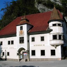
Gasthaus, ehem. Zur Schlosstaverne
3.3 km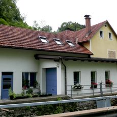
Mühle im Garten
3.7 km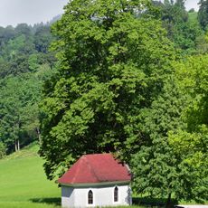
Linde bei der Fatima Kapelle
3.9 km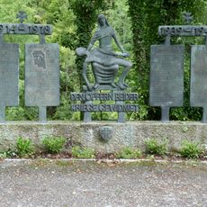
Trattenbach war memorial
3.9 kmReviews
Visited this place? Tap the stars to rate it and share your experience / photos with the community! Try now! You can cancel it anytime.
Discover hidden gems everywhere you go!
From secret cafés to breathtaking viewpoints, skip the crowded tourist spots and find places that match your style. Our app makes it easy with voice search, smart filtering, route optimization, and insider tips from travelers worldwide. Download now for the complete mobile experience.

A unique approach to discovering new places❞
— Le Figaro
All the places worth exploring❞
— France Info
A tailor-made excursion in just a few clicks❞
— 20 Minutes