Enable Location

We need your location to show you interesting places around you

Discover nearby places

Find interesting locations and hidden gems around you

Precise directions

Get accurate directions and distances to places

Your location is never shared with other users. It's only used when you tap the location button.

Sint-Martens-Latem

Log in to your account

Start exploring — it's free

Trusted by 62,503 travelers worldwide

Continue with Google
Continue with Apple
or

We will send you a code to connect

By continuing, you accept our Terms and Conditions and our Privacy Policy

Check your inbox

We've sent a pincode in your inbox. Please enter the code below.

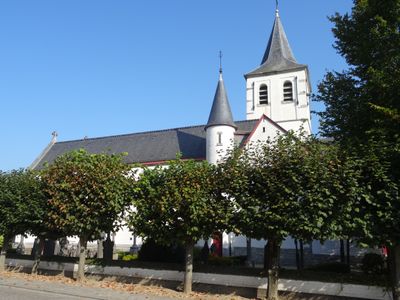
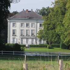
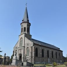
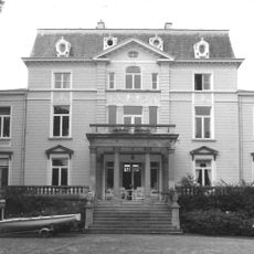
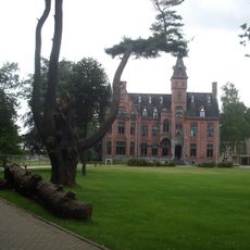
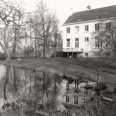
Sint-Martens-Latem, Municipality in East Flanders, Belgium.

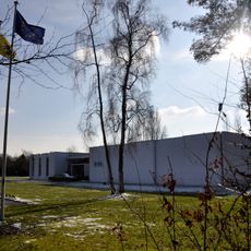
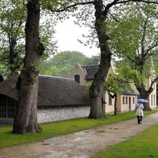
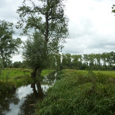
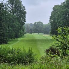
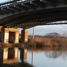
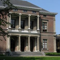
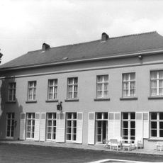
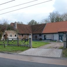
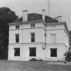
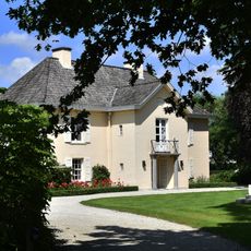
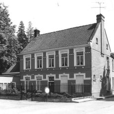
Sint-Martens-Latem is a settlement in East Flanders alongside Deurle, situated in a river valley with rolling landscapes and farms. The area mixes farmland with art-related buildings and community spaces that serve the local population.

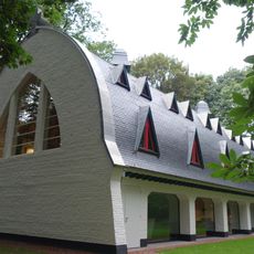
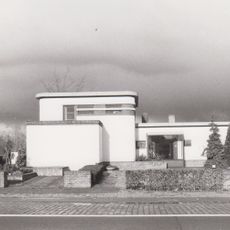
The settlement emerged as an artists' colony in the early 20th century when painters such as Permeke and others relocated here and built a creative community. This artistic movement took root and shaped the place for decades.

The settlement has long drawn artists and creative people, a heritage that shapes how galleries, studios, and local events bring the community together today. This artistic tradition continues to define the character and visual identity of the place.

The village sits along a valley road that makes it accessible, and walking paths run through the landscape and alongside the river for exploration. Visitors can wander through the streets and art spaces without needing special preparation or equipment.

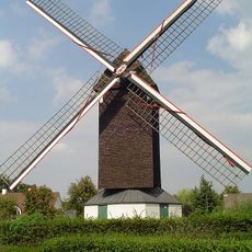
Several traditional windmills from earlier centuries still stand in the area, reminding visitors of the agricultural past of the place. These mills show how people once used water and wind to grind grain and process crops.

The community of curious travelers

AroundUs brings together thousands of curated places, local tips, and hidden gems, enriched daily by 60,000 contributors worldwide.

Start exploring
Capital city
Sint-Martens-Latem
Elevation above the sea
8 m
Part of
Emergency zone East Flanders Center, Politiezone Schelde-Leie
Shares border with
Deinze, Ghent, De Pinte, Nazareth
Phone
GPS coordinates
51.01861,3.63778
Latest update
December 7, 2025 19:32
« Sint-Martens-Latem - Municipality in East Flanders, Belgium » is provided by Around Us (aroundus.com). Images and texts are derived from Wikimedia project under a Creative Commons license. You are allowed to copy, distribute, and modify copies of this page, under the conditions set by the license, as long as this note is clearly visible.

Discover hidden gems everywhere you go!

From secret cafés to breathtaking viewpoints, skip the crowded tourist spots and find places that match your style. Our app makes it easy with voice search, smart filtering, route optimization, and insider tips from travelers worldwide. Download now for the complete mobile experience.

Around Us App Screenshot

A unique approach to discovering new places

Le Figaro

All the places worth exploring

France Info

A tailor-made excursion in just a few clicks

20 Minutes

Around Us
Travel Guide & Maps
Download

Send to your phone

QR Code
1

Open the camera app on your mobile.

2

Point at the QR code with your camera. A notification will appear.

3

Tap the notification to open the link.