
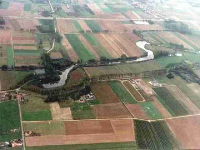
Saleghem Krekengebied
Location: Sint-Gillis-Waas
Operator: Natuurpunt
GPS coordinates: 51.24236,4.14574
Latest update: May 27, 2025 17:49

Verbeke Foundation
6.6 km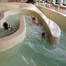
Lago Beveren De Meerminnen
7.3 km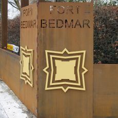
Fort Bedmar
3.7 km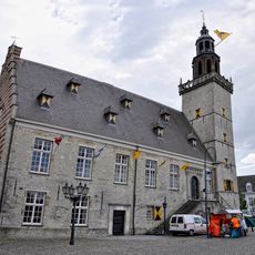
Raadhuis, Hulst
7.6 km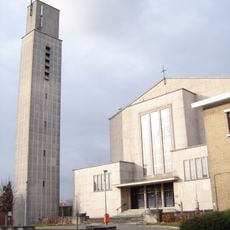
Christus Koningkerk
7.3 km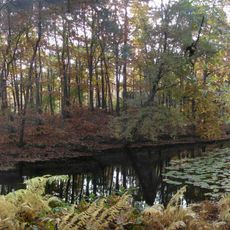
Fort Sint-Jan
6 km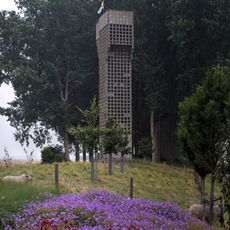
Luchtwachttoren 3T3 - Nieuw-Namen
5.9 km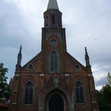
Johannes de Doperkerk
6.8 km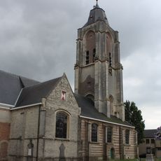
Sint-Laurentiuskerk
3.3 km
Heilig Kruiskerk
4.3 km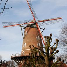
Roomanmolen, Sint-Pauwels
6.3 km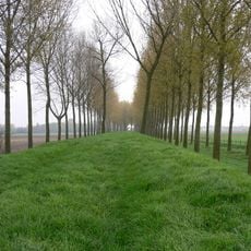
Koningsdijk
4.2 km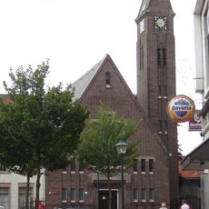
Hervormde kerk
7.6 km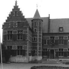
Hof Sanders
3 km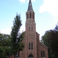
Sint-Henricuskerk
4.9 km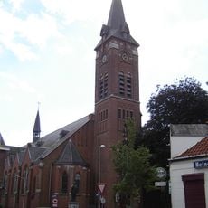
Sint-Jozefkerk
5.6 km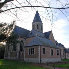
Sint-Pauluskerk
6.4 km
Sint-Joannes de Doperkerk
6.8 km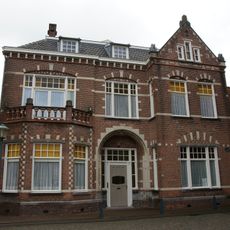
Stadsvilla op rechthoekige plattegrond
7.6 km
Grote Markt 14, Hulst
7.7 km
Lange Bellingstraat 4, Hulst
7.6 km
Houtmarkt 9, Hulst
7.6 km
Pastorie
4.9 km
Baarhuisje
4.9 km
Lange Bellingstraat 2, Hulst
7.6 km
Pastorie
6.9 km
Refugie van Baudeloo, Hulst
7.5 km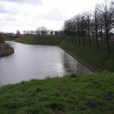
Verdedigingsstelsel
7.5 kmVisited this place? Tap the stars to rate it and share your experience / photos with the community! Try now! You can cancel it anytime.
Discover hidden gems everywhere you go!
From secret cafés to breathtaking viewpoints, skip the crowded tourist spots and find places that match your style. Our app makes it easy with voice search, smart filtering, route optimization, and insider tips from travelers worldwide. Download now for the complete mobile experience.

A unique approach to discovering new places❞
— Le Figaro
All the places worth exploring❞
— France Info
A tailor-made excursion in just a few clicks❞
— 20 Minutes