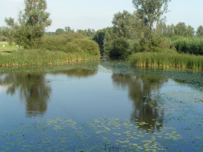
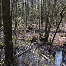
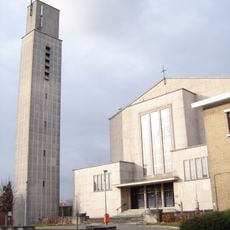
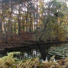
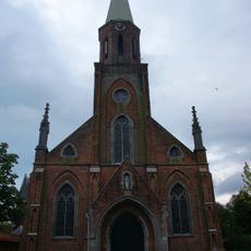
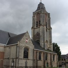
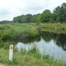
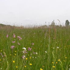
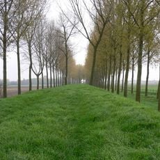
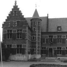
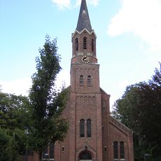
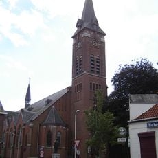
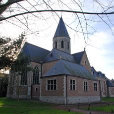
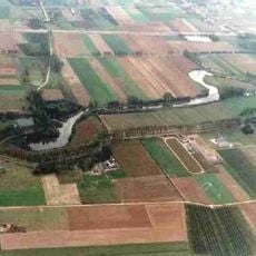
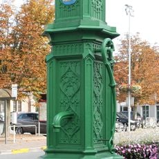
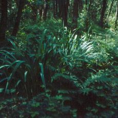
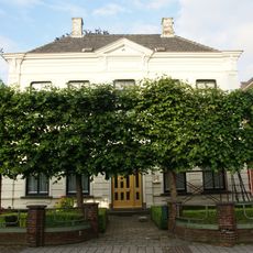
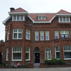
Sint-Gillis-Waas, municipality in East Flanders, Belgium
The community of curious travelers
AroundUs brings together thousands of curated places, local tips, and hidden gems, enriched daily by 60,000 contributors worldwide.
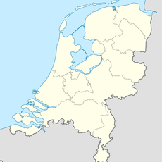
Location
Capital city
Sint-Gillis-Waas
Part of
Emergency zone Waasland, Policezone Scheldewaas
Shares border with
Hulst, Stekene
Phone
Email
Website
GPS coordinates
51.21860,4.12360
Latest update
May 27, 2025 17:31