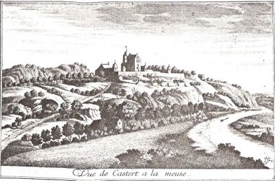
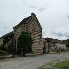
Castle Caestert, Historic château in Petit-Lanaye, Belgium
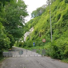
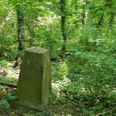
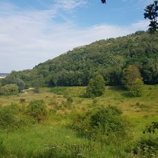
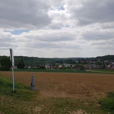
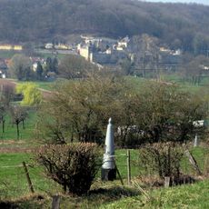
Castle Caestert sits on a plateau that overlooks the Meuse Valley, with its structure integrated into surrounding limestone caves and underground chambers. The site displays remains from multiple building phases that developed over many centuries.
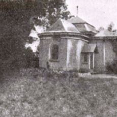
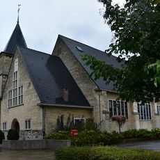
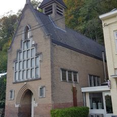
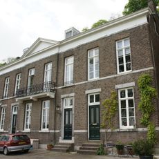
The first castle structure was built in 1356, and later a new building was added in the 19th century. These two construction phases show how the site's importance shifted over generations and what different eras needed from this location.
The name Caestert comes from the Latin word 'castra', which refers to a Roman military camp that once occupied this strategic location. Visitors can still sense this historical connection through the way the site is positioned on the landscape.
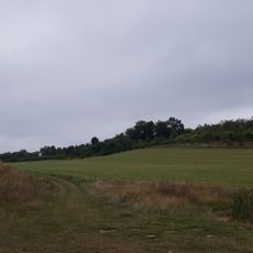
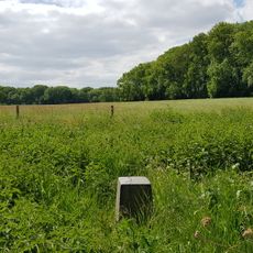
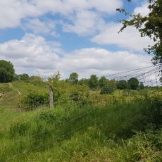
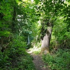
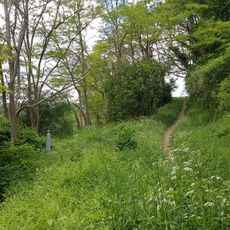
The site can be reached from several access points, including Caestertweg, Luikerweg, and Rue de Caster in the Visé municipality. Visitors should expect uneven terrain and elevation changes as they explore the ruins and surrounding landscape.
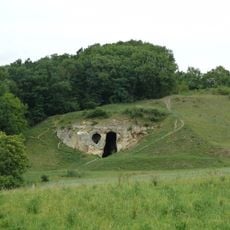
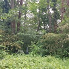
Beneath the castle ruins lie vaulted cellars that were built directly into the natural cave system of the plateau. These underground rooms show how residents cleverly used the natural features of the land to support their structures.
Location: Visé
GPS coordinates: 50.80873,5.68916
Latest update: December 8, 2025 21:09
Canal Maastricht-Liège
805 m
Duivelsgrot
1.3 km
Fun Valley Maastricht
1.2 km
Sint Pietersberg kunstbunker
700 m
Canal of Lanaye
856 m
Farm Caestert
60 m
Poppelmondedal
1.1 km
Chapel of Caestert
82 m
Sint-Hubertuskerk
1.2 km
Belgium-Netherlands boundary stone no. 49
417 m
Church of Petit-Lanaye
234 m
Belgium-Netherlands boundary stone no. 51a
324 m
Belgium-Netherlands boundary stone no. 50
374 m
Belgium-Netherlands boundary stone no. 51
355 m
Belgium-Netherlands boundary stone no. 53a
405 m
Belgium-Netherlands boundary stone no. 53b
429 m
Belgium-Netherlands boundary stone no. 60
1 km
ENCI-weide
883 m
Belgium-Netherlands boundary stone no. 53c
448 m
Grenspaal 58
851 m
Grenspaal 59
989 m
Belgium-Netherlands boundary stone no. 55
622 m
Belgium-Netherlands boundary stone no. 61
1.2 km
Belgium-Netherlands boundary stone no. 52
352 m
Lage Kanaaldijk 124, Maastricht
776 m
Belgium-Netherlands boundary stone no. 53
367 m
Belgium-Netherlands boundary stone no. 57
725 m
Belgium-Netherlands boundary stone no. 56
705 mVisited this place? Tap the stars to rate it and share your experience / photos with the community! Try now! You can cancel it anytime.
Discover hidden gems everywhere you go!
From secret cafés to breathtaking viewpoints, skip the crowded tourist spots and find places that match your style. Our app makes it easy with voice search, smart filtering, route optimization, and insider tips from travelers worldwide. Download now for the complete mobile experience.
A unique approach to discovering new places❞
— Le Figaro
All the places worth exploring❞
— France Info
A tailor-made excursion in just a few clicks❞
— 20 Minutes