
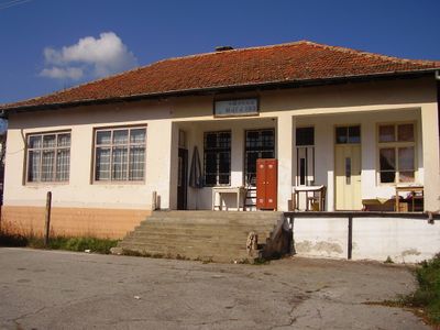
Prekolnitsa, village in Bulgaria
Location: Kyustendil Municipality
Elevation above the sea: 920 m
GPS coordinates: 42.25816,22.47501
Latest update: March 2, 2025 21:07
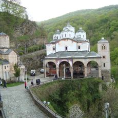
Osogovo Monastery
10.8 km
Carev Vrv
14.9 km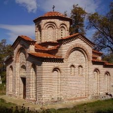
Church of St George
16.7 km
Jewish Cemetery in Kyustendil
14.9 km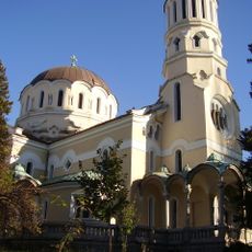
Свети Великомъченик Мина
17 km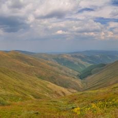
Tsarnata Reka
13.7 km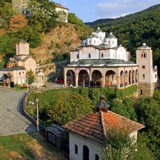
Црква „Св. Јоаким Осоговски“ - Крива Паланка
10.8 km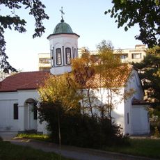
Church of St. Menas, Kyustendil
17 km
Kalin Kamen
12.2 km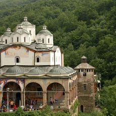
St. Joachim of Osogovo Church
10.8 km
St. Nicholas Church
8 km
St. Demetrius Church
13 km
Prevala hut
11.7 km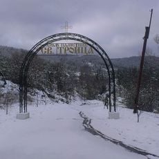
Church of the Holy Trinity in Gyueshevo
2.4 km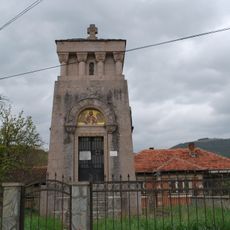
Kriva Palanka Memorial Ossuary
14.1 km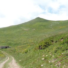
Shapka peak
10 km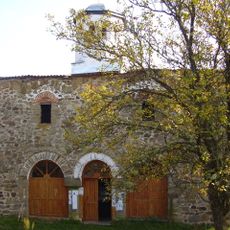
Iglesia de San Pedro y Pablo
1.9 km
Nativity of the Theotokos Church (Kriva Palanka)
10.8 km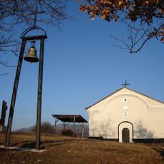
Свети Йоан Кръстител (Бобешино)
8.3 km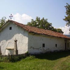
Church of Saint Theodore of Amasea
17.4 km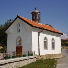
Church of Saint Athanasius
17.2 km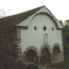
Свети Георги (Долно село)
5.8 km
Свето Благовещение (Соволяно)
17.3 km
Свети Георги (Жеравино)
10.7 km
Church of Saint George, Lomnitsa
14.5 km
St. Demetrius Church
12.4 km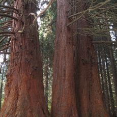
Sequoias from Yuchbunar
15.6 km
Adzhiski Rid
13.6 kmVisited this place? Tap the stars to rate it and share your experience / photos with the community! Try now! You can cancel it anytime.
Discover hidden gems everywhere you go!
From secret cafés to breathtaking viewpoints, skip the crowded tourist spots and find places that match your style. Our app makes it easy with voice search, smart filtering, route optimization, and insider tips from travelers worldwide. Download now for the complete mobile experience.

A unique approach to discovering new places❞
— Le Figaro
All the places worth exploring❞
— France Info
A tailor-made excursion in just a few clicks❞
— 20 Minutes