
Llers, municipality in the comarca of Alt Empordà, Girona, Spain
Location: Alt Empordà
Architectural style: vernacular architecture
Capital city: Llers
Elevation above the sea: 142 m
Shares border with: Figueres, Pont de Molins, Cabanes, Vilafant, Avinyonet de Puigventós, Vilanant, Terrades, Boadella i les Escaules
Website: http://llers.cat
GPS coordinates: 42.29722,2.91333
Latest update: March 8, 2025 07:18
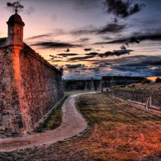
Sant Ferran Castle
3.8 km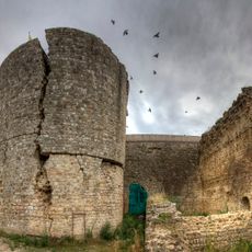
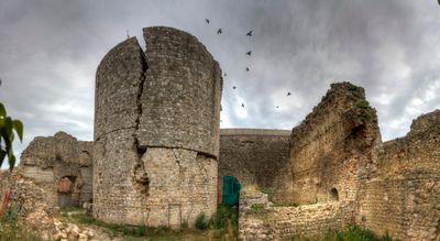
Castell de Llers
216 m
Sant Feliu de Cadins
3.9 km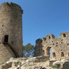
Castell de les Escaules
3.6 km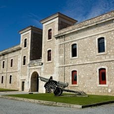
Museo Histórico Militar de Figueras
4 km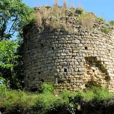
Castell d'Hortal
1.4 km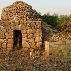
Barraques de pedra seca (Llers)
2.1 km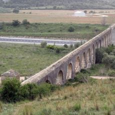
Aqüeducte de Figueres
3.1 km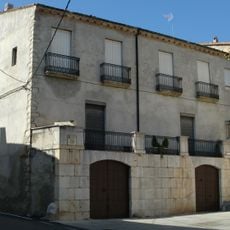
Can Jordà
2.1 km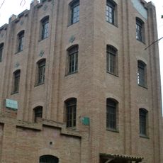
Farinera de Sant Lluís
2.2 km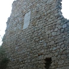
Castell de Sarraí
1 km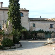
La Pujada
1.1 km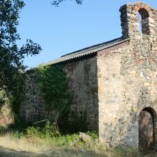
Sant Quirze d'Olmells
2.9 km
Castell de Montmarí
2.4 km
Castell de Molins
1.9 km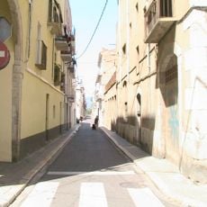
Carrer Barceloneta
5 km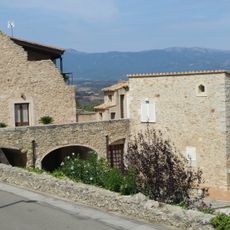
House in carrer Nou, 2
236 m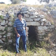
Barraca de pedra seca al pla de Vinyers - 2
2.4 km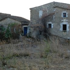
Mas Molar
2.6 km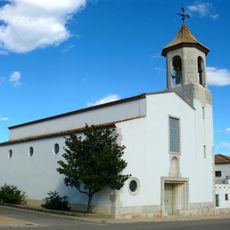
Sant Julià
667 m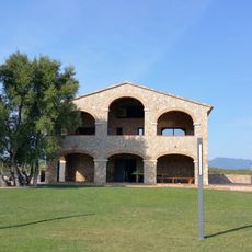
Mas Oliveres
2.7 km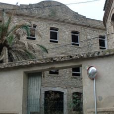
Casa Sagrera
2.1 km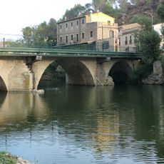
Pont Vell
2.2 km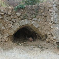
Forn de calç
2.2 km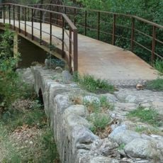
Pont del Molí d'en Calvet
2.5 km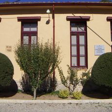
Escola de Pont de Molins
2.2 km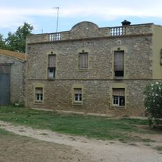
Mas d'en Sot
2.3 km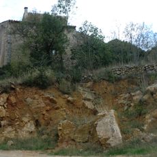
Castell de la Vall
491 mVisited this place? Tap the stars to rate it and share your experience / photos with the community! Try now! You can cancel it anytime.
Discover hidden gems everywhere you go!
From secret cafés to breathtaking viewpoints, skip the crowded tourist spots and find places that match your style. Our app makes it easy with voice search, smart filtering, route optimization, and insider tips from travelers worldwide. Download now for the complete mobile experience.

A unique approach to discovering new places❞
— Le Figaro
All the places worth exploring❞
— France Info
A tailor-made excursion in just a few clicks❞
— 20 Minutes