
Òrrius, Municipality in the Maresme county, Barcelona, Catalonia, Spain
Location: Maresme
Capital city: Òrrius
Elevation above the sea: 259 m
Shares border with: La Roca del Vallès, Argentona, Cabrils, Vilassar de Dalt, Vilanova del Vallès
Website: http://orrius.cat
GPS coordinates: 41.55750,2.35583
Latest update: July 29, 2025 18:55
Parc de la Serralada Litoral
2.2 km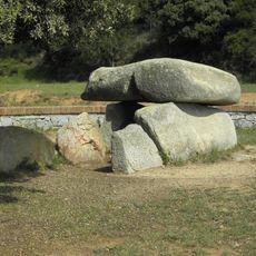
Dolmen de Can Boquet
3 km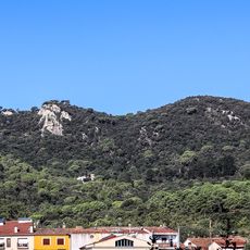
Turó de Céllecs
1.5 km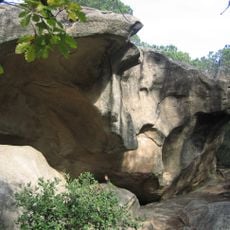
Pedra de les Orenetes
2.8 km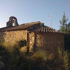
Sant Bartomeu de Cabanyes
1.2 km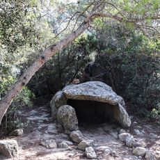
Dolmen de Céllecs
2.2 km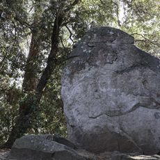
The Indian, the Elefant and the Moai
2.2 km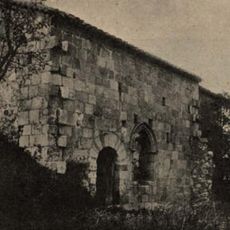
Sant Pere de Clarà
1 km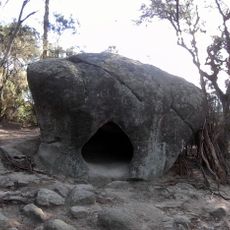
Roca Foradada de Can Gol
3.2 km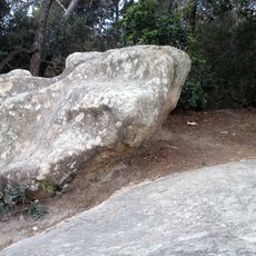
Pedra de les Creus
2.9 km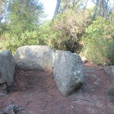
Dolmen de Can Gol II
3.3 km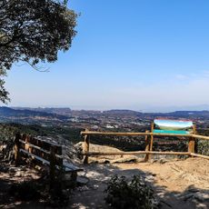
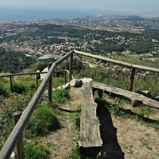
Mirador de Céllecs
1.5 km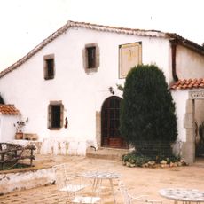
Ca l'Arcís
2.3 km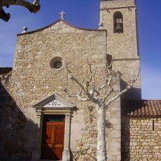
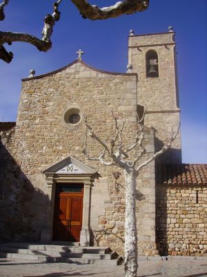
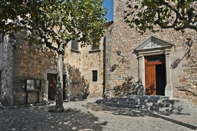
Sant Andreu d'Òrrius
260 m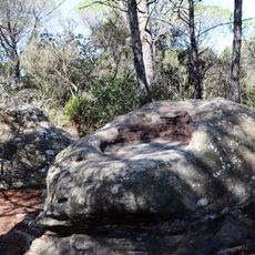
Plat de Molí
2.5 km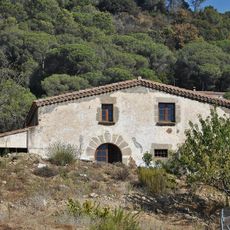
Can Jordi
387 m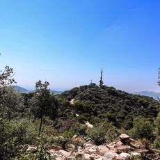
Turó Rodó
1.5 km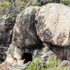
Roca Foradada de Can Nadal
3.1 km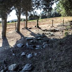
Necròpoli Medieval de Can Boquet
3.1 km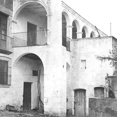
Can Conill
244 m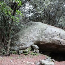
Roca Llobatera
2.8 km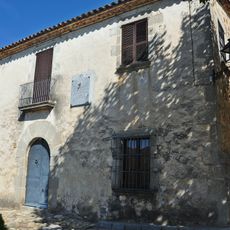
Casa rectoral d'Òrrius
279 m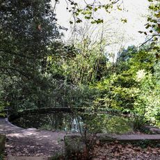
Bassa de Ca l'Argent
2.1 km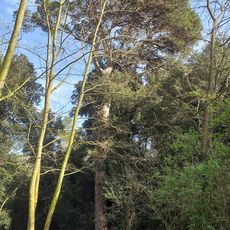
Pi de Can Riudemeia
1.7 km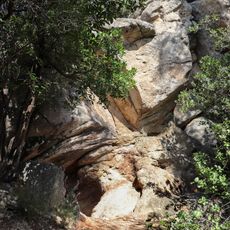
Cambra Megalítica de Can Nadal
2.9 km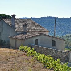
Can Triador
866 m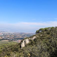
Roca del Contravent
1.6 km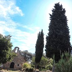
Xiprer de Sant Bartomeu
1.2 kmVisited this place? Tap the stars to rate it and share your experience / photos with the community! Try now! You can cancel it anytime.
Discover hidden gems everywhere you go!
From secret cafés to breathtaking viewpoints, skip the crowded tourist spots and find places that match your style. Our app makes it easy with voice search, smart filtering, route optimization, and insider tips from travelers worldwide. Download now for the complete mobile experience.

A unique approach to discovering new places❞
— Le Figaro
All the places worth exploring❞
— France Info
A tailor-made excursion in just a few clicks❞
— 20 Minutes