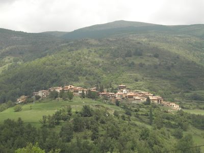
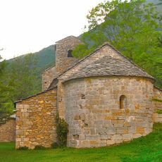
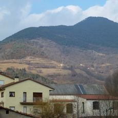
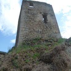
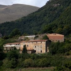
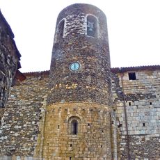
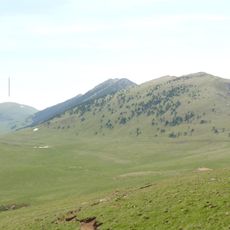
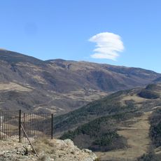
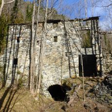
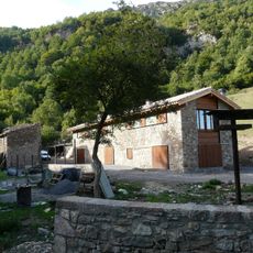
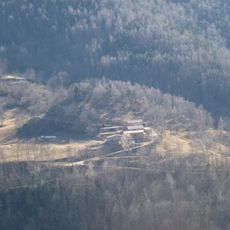
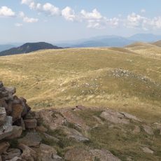
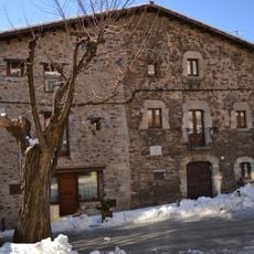
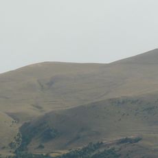
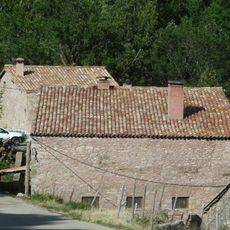
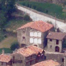
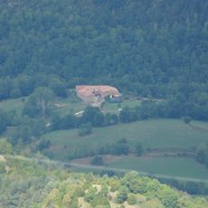
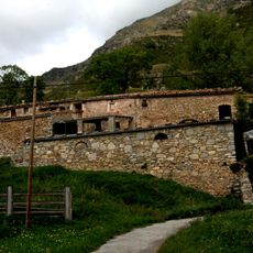
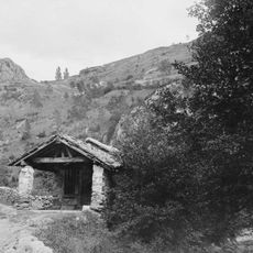
Pardines, municipality in the comarca of Ripollès, province of Girona, Catalonia, Spain
Location: Ripollès
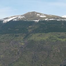
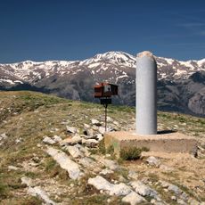
Elevation above the sea: 1,226 m
Shares border with: Queralbs, Vilallonga de Ter, Ogassa, Ribes de Freser
Website: http://pardines.cat
GPS coordinates: 42.31243,2.21378
Latest update: March 4, 2025 06:36
Taga
3.5 km
Puig Estela
4.6 km
Santa Magdalena de Puigsac
1.2 km
Puig Cerverís
2.9 km
Església de Sant Martí d'Ogassa
4.8 km
Puig Cornador
2.4 km
Castell de Ribes de Freser
3.5 km
El Joncar
5.7 km
Sant Esteve de Pardines
28 m
La Pedra dels Tres Bisbats
5.7 km
Puig de Mont-roig
3.6 km
Molí d'en Bonada
3.8 km
Can Camps
6.3 km
Can Barratort
760 m
Puig de Coma d'Olla
3.9 km
Cal Ferrer
13 m
Cal Ferreret
34 m
Font de la Margarideta
3.4 km
Turó de la Portella d'Ogassa
3.8 km
Mas Mitjavila
4.7 km
Cal Porquer (Pardines)
98 m
Ponts de Pardines
626 m
Can Roca
1.3 km
Pont de Vilaró
1.1 km
Vessaganya
5.1 km
Mare de Déu de les Neus
2.6 km
Mare de Déu de Gràcia
3.4 km
Taga
3.5 kmReviews
Visited this place? Tap the stars to rate it and share your experience / photos with the community! Try now! You can cancel it anytime.
Discover hidden gems everywhere you go!
From secret cafés to breathtaking viewpoints, skip the crowded tourist spots and find places that match your style. Our app makes it easy with voice search, smart filtering, route optimization, and insider tips from travelers worldwide. Download now for the complete mobile experience.
A unique approach to discovering new places❞
— Le Figaro
All the places worth exploring❞
— France Info
A tailor-made excursion in just a few clicks❞
— 20 Minutes