Taga

Log in to your account

AroundUs is a community-driven map of interesting places, built by curious explorers like you. It grows with every review, story, and photo you share.
Connect to save your favorite spots, contribute locations, and create personalized routes.
Continue with Google
Continue with Apple
Continue with X
Continue with Facebook
Continue with email
By continuing, you accept our Terms and Conditions and our Privacy Policy
Create an account
Add to collection
Map
Suggest a change
Share

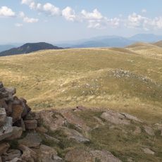
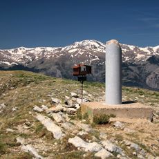
Taga, Mountain summit in Catalonia, Spain
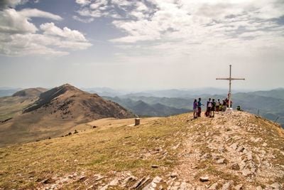
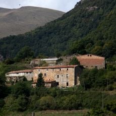
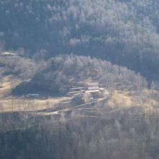
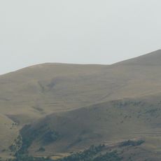
Taga is a mountain peak in the Pyrenees rising to 2040 meters above sea level and spanning the municipalities of Ribes de Freser, Ogassa, and Pardines in northern Catalonia. The summit is composed of limestone and lutite rock, offering views of the surrounding mountain terrain from its peak.

The peak was shaped through tectonic processes during the formation of the Pyrenees, with limestone and lutite layers being deposited over time. This geological development occurred across millions of years and continues to define the summit's structure.

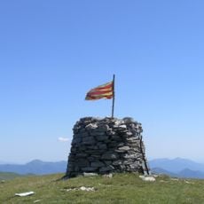
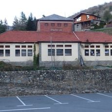
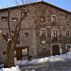
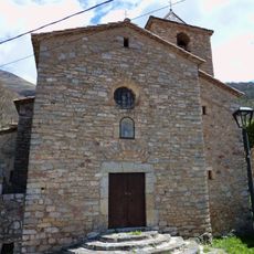
The mountain holds a place in the list of important peaks recognized by Catalan hiking communities, drawing visitors interested in the region's alpine landscape. Local hiking groups regularly organize trips here, showing how much this destination matters to the climbing culture of the area.
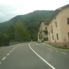
The climb from Coll de Jou is moderate, requiring about 45 minutes under normal conditions while gaining roughly 400 meters in elevation. Hikers should wear sturdy footwear and dress in layers, as weather conditions can change quickly at higher elevations.

The summit has a prominence of 429 meters, meaning it stands distinctly above the nearby terrain despite not being the tallest peak in the area. This notable separation from surrounding higher mountains makes it a recognizable landmark in the local landscape.

Location: Ribes de Freser

Location: Ogassa

Location: Pardines

Elevation above the sea: 2,040 m

Made from material: limestone, lutite

Part of: Llista dels 100 cims de la FEEC

GPS coordinates: 42.28076,2.20990

Latest update: December 11, 2025 11:05

Photos
Reviews

Visited this place? Tap the stars to rate it and share your experience / photos with the community! Try now! You can cancel it anytime.

« Taga - Mountain summit in Catalonia, Spain » is provided by Around Us (aroundus.com). Images and texts are derived from Wikimedia project under a Creative Commons license. You are allowed to copy, distribute, and modify copies of this page, under the conditions set by the license, as long as this note is clearly visible.

Discover hidden gems everywhere you go!

From secret cafés to breathtaking viewpoints, skip the crowded tourist spots and find places that match your style. Our app makes it easy with voice search, smart filtering, route optimization, and insider tips from travelers worldwide. Download now for the complete mobile experience.

Around Us App Screenshot

A unique approach to discovering new places

Le Figaro

All the places worth exploring

France Info

A tailor-made excursion in just a few clicks

20 Minutes